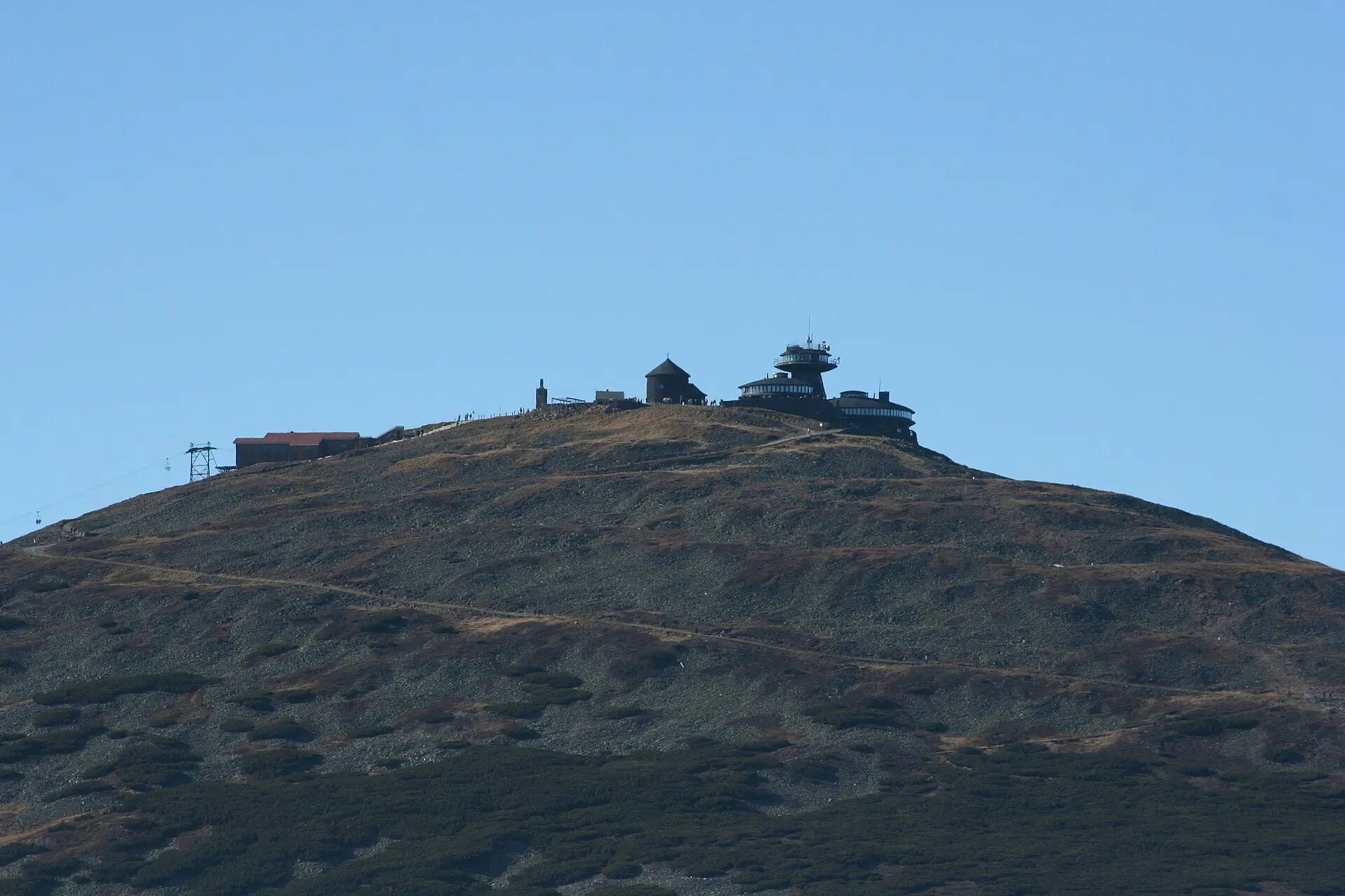
These Karkonosze hiking tips start with the only one that matters: the ridge is low, but it does not behave like low ground. Śnieżka is 1,603 m, the highest point of the Sudetes, and the range sits in the path of western winds. On a mild, clear day in early November 2026, the park was warning of gusts around 45 km/h, ice on the trails and a wind chill near -7°C on top. Read the daily notice, pick a route you can cut short, and turn around early. The rest is below, and the Karkonosze guide covers the towns, huts and sights.
Check these before you leave the car park
Three checks take five minutes and decide most of the day.
- Park notice. Karkonosze National Park publishes a tourist notice with current conditions and closed trails. Czech closures are listed separately. Read it on the day, not the night before.
- Wind and cloud on the ridge. Compare the forecast for Śnieżka or Szrenica with the forecast for town. A gap of 5 to 10°C is normal, and wind makes the difference feel larger.
- Daylight. The park allows walking only from dawn to dusk. In November it gets dark by about 17:00. Work backwards from there.
- Offline map. Download the area before you lose signal. The links are under the route table.
Save the rescue numbers before you lose signal. On the Polish side, GOPR mountain rescue is 985, and the general emergency number is 112. Install the Ratunek app in town, where the connection is good. If a route crosses into the Czech Republic, note the number for the Horská služba and check that your insurance covers rescue and treatment there.
Karkonosze routes: time, terrain and what to do if it goes wrong
Times are for fit walkers on dry trails, without long stops. Add at least a third on snow or ice. These are planning figures, not promises.
| Route | Distance and time | Terrain | Fallback |
|---|---|---|---|
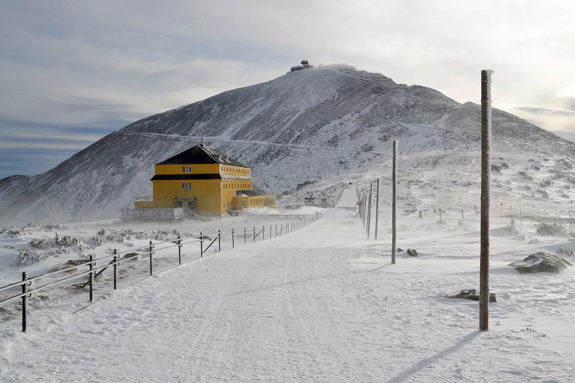
| Karpacz to Śnieżka and back | About 16-20 km, 6-8 hours | Forest, then stone trail, then an exposed summit cone | Stop at Dom Śląski and go down |
| Kopa chairlift to Śnieżka and back | About 6-8 km, 2-4 hours | Short but fully exposed | Walk down if the lift stops; allow 1.5 hours or more |
| Wang Church to Samotnia and back | About 9-11 km, 4-5 hours | Forest and stone paths, mostly sheltered | The default choice when the ridge is in cloud |
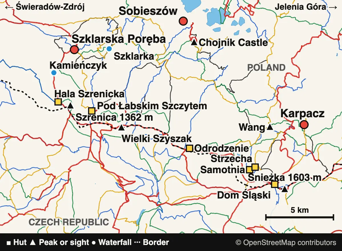
| Great Pond and Small Pond loop | About 15 km, 6-7 hours | Forest, then open ridge along cirque edges | Drop down to Samotnia from Spalona Strażnica |
| Szklarska Poręba, Kamieńczyk, Szrenica loop | About 14 km, 5-6 hours | Paved and stone climb, then open upland | Stop at Hala Szrenicka, or use the lift if it is running |
| Chojnik Castle from Sobieszów | About 4 km, 1.5-2 hours | Steep forest path below the ridge | Use it as the bad-weather day; avoid it in very strong wind |
The map above is for orientation only; the coloured lines are marked hiking trails. For navigation on the trail, use the Mapy.com tourist map, which offers offline downloads in its app, or the park’s interactive trail map. Before you set out, check the park’s daily notice for closed trails.
The Karkonosze weather rule: decide at the treeline
The forest hides what is happening above. Most trails leave the trees at around 1,250 m, and that is where you make the decision. If you cannot see the next marker poles, or you are struggling to stand in the wind, go back down.
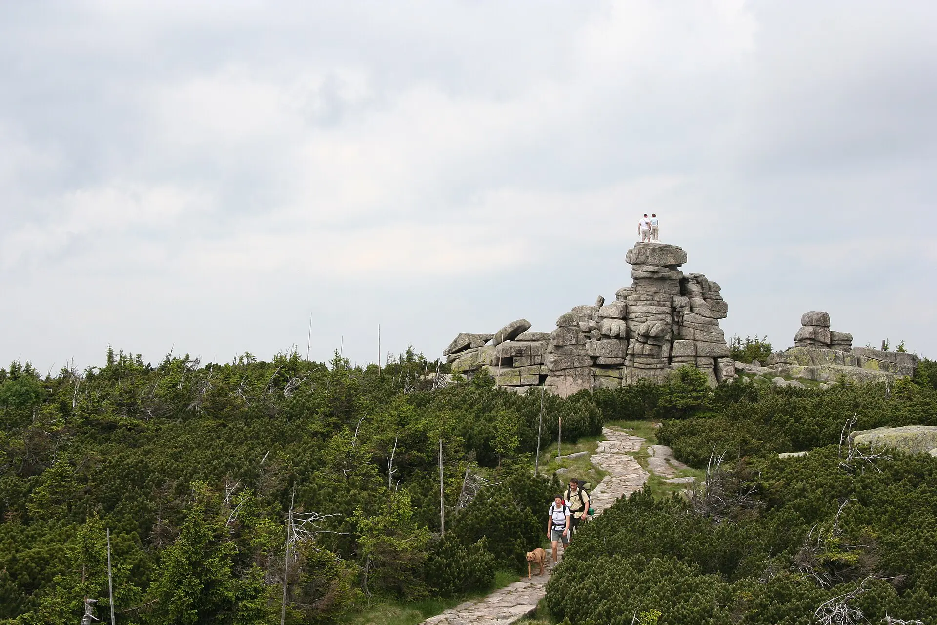
- Fog. Poles mark trails above the treeline. They only help if you stay on the trail and walk from one to the next. If you lose them, stop and go back to the last one.
- Wind. Śnieżka averaged over 11 m/s in a long-term record. Above the trees it drains heat quickly. In the forest, the danger is falling branches and trees, and the park advises against forest walks in strong wind.
- Storms. Summer afternoons bring them fast, so aim to be off the ridge by early afternoon. Streams also rise quickly after heavy rain, so keep away from the banks.
- Ice. It appears on the ridge long before it reaches town. Check whether the park has removed seasonal chains on trails near the cirques, as it had in November 2026.
The cirque edges deserve their own warning. The park asks walkers to stay back from Śnieżne Kotły and the Small Pond cirque because of the fall risk. Do not walk out for the photo.
What to pack for the Karkonosze, by season
The list changes less than people expect, since the ridge can be cold in any month.
- All year: firm-soled shoes, a windproof shell, a warm layer, hat and gloves, a charged phone, a power bank, a headlamp, water, food and a paper map or an offline one.
- June to September: add sun protection and more water. Keep the shell in the pack, even with a warm start in town.
- October to May: add trekking poles, traction aids, eye protection and a spare insulating layer. In snow, trail routes may change, and avalanche risk rises in steep ground around the cirques. Avalanches have killed people here, including 19 at Biały Jar in 1968, so check the warnings and skip those areas if you are unsure.
I would not start the high route in November without traction aids, whatever the valley looks like at breakfast.
Water, food and huts on Karkonosze trails
Staffed huts make the range easier than its neighbours, but do not build a plan around one. Carry at least 1.5 L for a long day, more in summer. Do not rely on streams for drinking water. The park also advises against contact with the water of the Kamienna below Szklarska Poręba because of its quality.
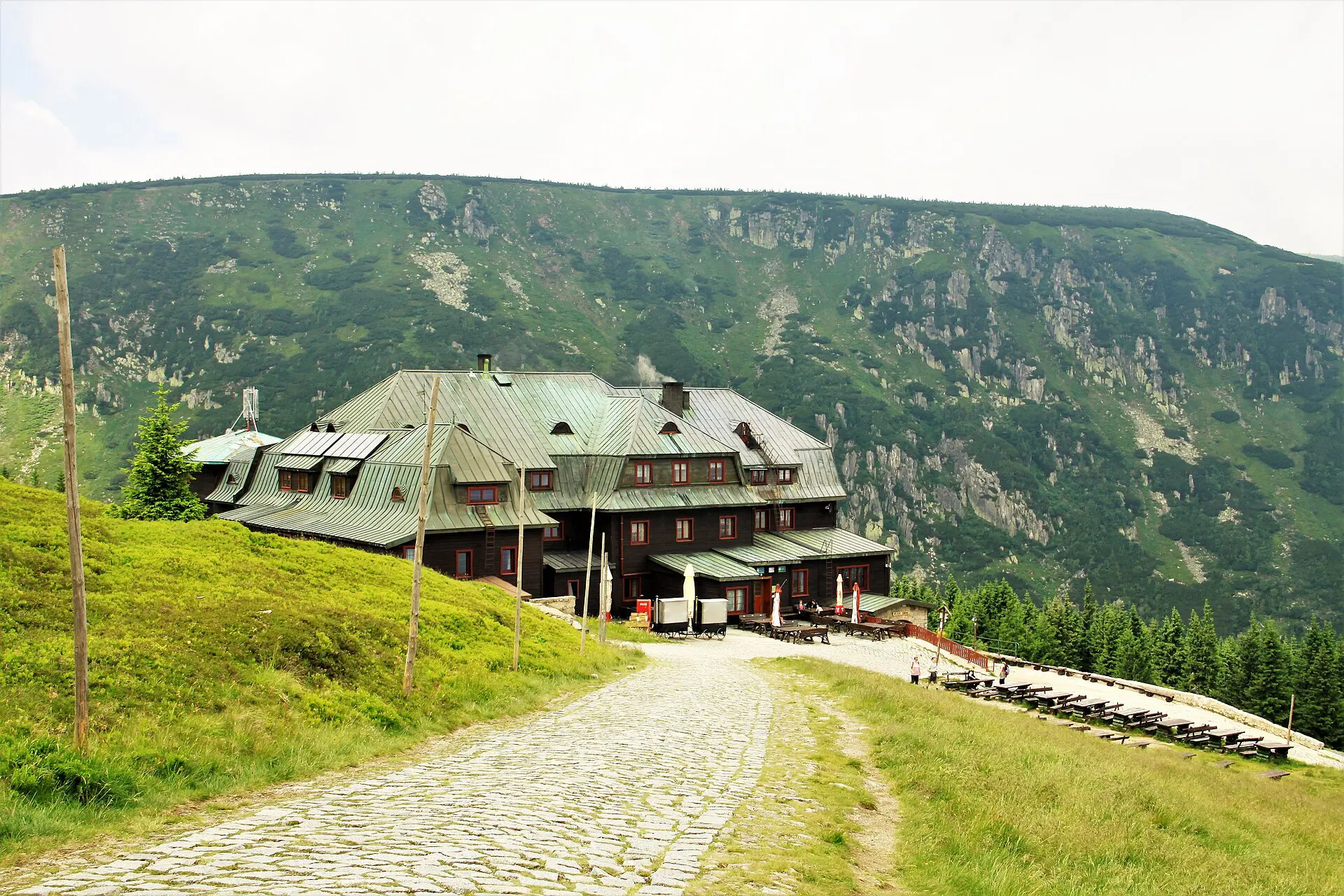
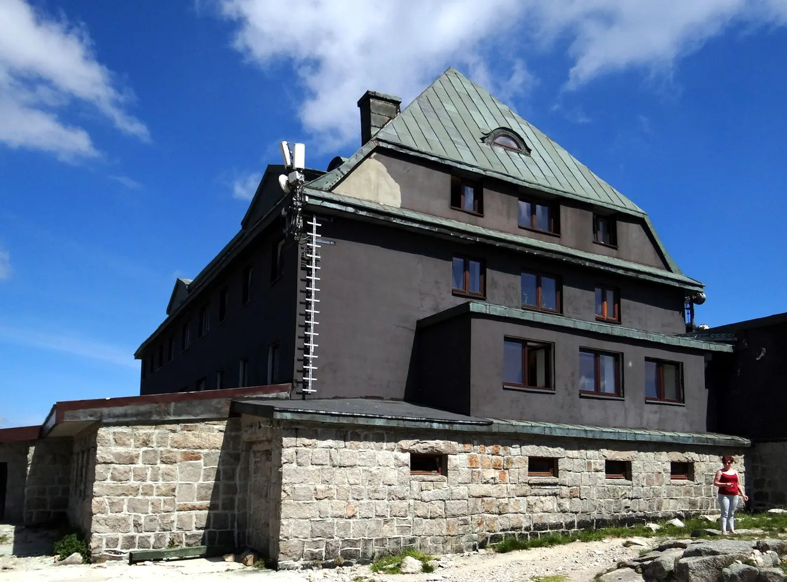
Huts on the main routes include Strzecha Akademicka, Samotnia, Dom Śląski, Odrodzenie, Pod Łabskim Szczytem and Hala Szrenicka. They sell hot food and offer beds, and hours vary by season. Phone ahead if your plan depends on one, and note that some, such as Nad Łomniczką, have been under reconstruction. The summit of Śnieżka has no reliable shelter, as the observatory has been closed since 2015.
Karkonosze National Park rules and fees
Most rules are enforced by park guards and carry fines. As of late 2026:
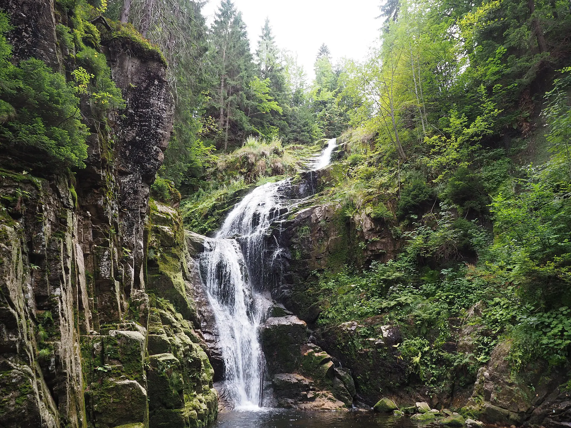
- Entry: around 11 zł for one adult day, 20 zł for two and 26 zł for three, with reduced tickets at half price. Buy online or at a booth, and keep the receipt or email. Children under seven are free.
- Kamieńczyk Waterfall: a separate ticket of around 16 zł. A park ticket does not cover it.
- Trails only: no walking off marked routes, including to reach better views. The alpine meadows are protected.
- Daylight only: walking is allowed from dawn to dusk. If you may get caught out, the park asks you to use a red or green headlamp setting to avoid disturbing animals.
- No camping or fire: no tents, bivouacs, barbecues, campfires or smoking anywhere in the park. Sleep in huts.
- No swimming: this covers mountain ponds and waterfalls in the park.
- No drones: they need specific written permission.
- Dogs: on a leash only, with a muzzle available if required, and banned on about 34 km of trail. Check the park’s dog map before you go.
Check the current rates on the park’s site before you go, as fees can change with a new order.
Crossing the Polish-Czech border on foot
The ridge follows the border, and you can cross freely on marked trails. Carry ID. Three things change when you do.
- The rescue service is different, so keep the Czech number with you.
- Closures differ, and a trail open on one side may be closed on the other. Check both notices.
- The Czech side may need Czech koruna in some places, so do not assume that cards or złoty will work everywhere.
A lift on the Czech side can look like an easy way down, but it may stop in strong wind. Keep a walking return that you can finish in daylight.
How to avoid the crowds on Śnieżka
Śnieżka is the busiest summit in the range, particularly on summer weekends. The practical fixes are simple: start before 08:00, go midweek, or do something else. The park runs its own campaign, Weekend without Śnieżka, pointing walkers to quieter areas.
The Small Pond gives you most of the scenery for less effort. Szrenica and the western ridge are often quieter, and the Izera Mountains above Szklarska Poręba and Świeradów-Zdrój are gentler still. For the summit itself, base yourself in Karpacz so you can start early.
Skip the Karkonosze ridge if
- The park notice warns of strong wind, whiteout or high avalanche risk, and you have no winter experience.
- Your plan only works if a lift is running on the way down.
- You would start after midday in winter or after a storm warning in summer.
- Someone in your group has only smooth-soled shoes or no warm layers.
- You are alone in poor weather. The park recommends company in the mountains, and a solo walker needs to leave a route plan with someone.
On those days, go to Chojnik Castle if the wind is moderate, or to Jelenia Góra for the Cieplice pools and the park’s exhibitions in Sobieszów. The ridge will still be there tomorrow.
FAQ about hiking in the Karkonosze
Is hiking in the Karkonosze hard?
Technically, most marked routes are moderate, with no climbing. The difficulty comes from distance, stony ground and weather on the open ridge. A fit beginner can manage the Small Pond or Kamieńczyk Waterfall. Śnieżka on foot from Karpacz is a long day with about 1,000 m of ascent.
What is the best month for hiking in the Karkonosze?
June to September is the most dependable. September often has fewer people, while July and August have the longest queues and more storm risk. From November to April, expect ice or snow up high and plan as for winter walking.
Do you need crampons in the Karkonosze?
Often, traction aids are enough for packed snow and thin ice on main trails. Hard ice, steep slopes or fresh snow may need crampons and the skills to use them. If you are unsure, stay below the treeline or take a licensed Sudetes mountain guide.
Who do you call in an emergency?
On the Polish side, call GOPR on 985 or the general number 112. State where you are, using the nearest trail junction or hut, and what has happened. Keep your phone warm, since cold drains batteries fast. On the Czech side, call the Horská služba or 112.