How to plan a road trip: fix the dates and anchors you cannot move, cap each day at roughly 300 to 450 km of driving, mark every fuel or charging gap longer than your safe range, and write a fallback for each leg. Book the nights, not the miles. The route is the easy part. The gaps, closures and weather are what break trips, so plan those first.
How to plan a road trip: the method in five rules
Treat the trip as a chain of legs, each with a start, an end, a time limit and a plan B. Five rules cover most of it.
- Anchors first. Pin the things with dates: flights, ferries, permits, timed entries, the car hire window.
- Cap the day. Plan 4 to 6 hours of actual driving at most, and fewer on mountain, gravel or unfamiliar roads.
- Know your range. Safe range is the tank range minus a 25 to 30 percent reserve. Any gap longer than that needs a fuel stop or a detour.
- One fallback per leg. A shorter route, a different road, or a night in the last big town.
- Add one buffer day for every five to seven driving days. It absorbs weather, a closure or a flat tyre.
Road trip planning table: legs, limits and fallbacks
Use this as the template for each leg. Figures are typical planning numbers, not guarantees; adjust for your vehicle and the road type.
| Road type | Realistic average speed | Safe daily distance | Main risk | Fallback |
|---|---|---|---|---|
| Motorway or divided highway | 90 to 110 km/h | 450 to 600 km | Fatigue, traffic near cities | Stop at the last town before the rest area chain thins out. |
| Two-lane main road | 65 to 80 km/h | 300 to 450 km | Slow trucks, roadworks | Pick a secondary overnight 80 to 100 km short. |
| Mountain pass or coastal road | 40 to 60 km/h | 150 to 250 km | Closures, rockfall, snow, fog | Alternative route or a hold night on the nearer side. |
| Gravel or unsealed road | 20 to 40 km/h | 80 to 150 km | Tyre damage, washouts, no signal | Turn back at a set time, not at a set distance. |
| Ferry or car-train leg | Timetable bound | One crossing a day | Weather cancellations | Book a flexible ticket and keep a day free. |
The seven steps to plan a road trip that holds up
1. Choose the region and the season before the route
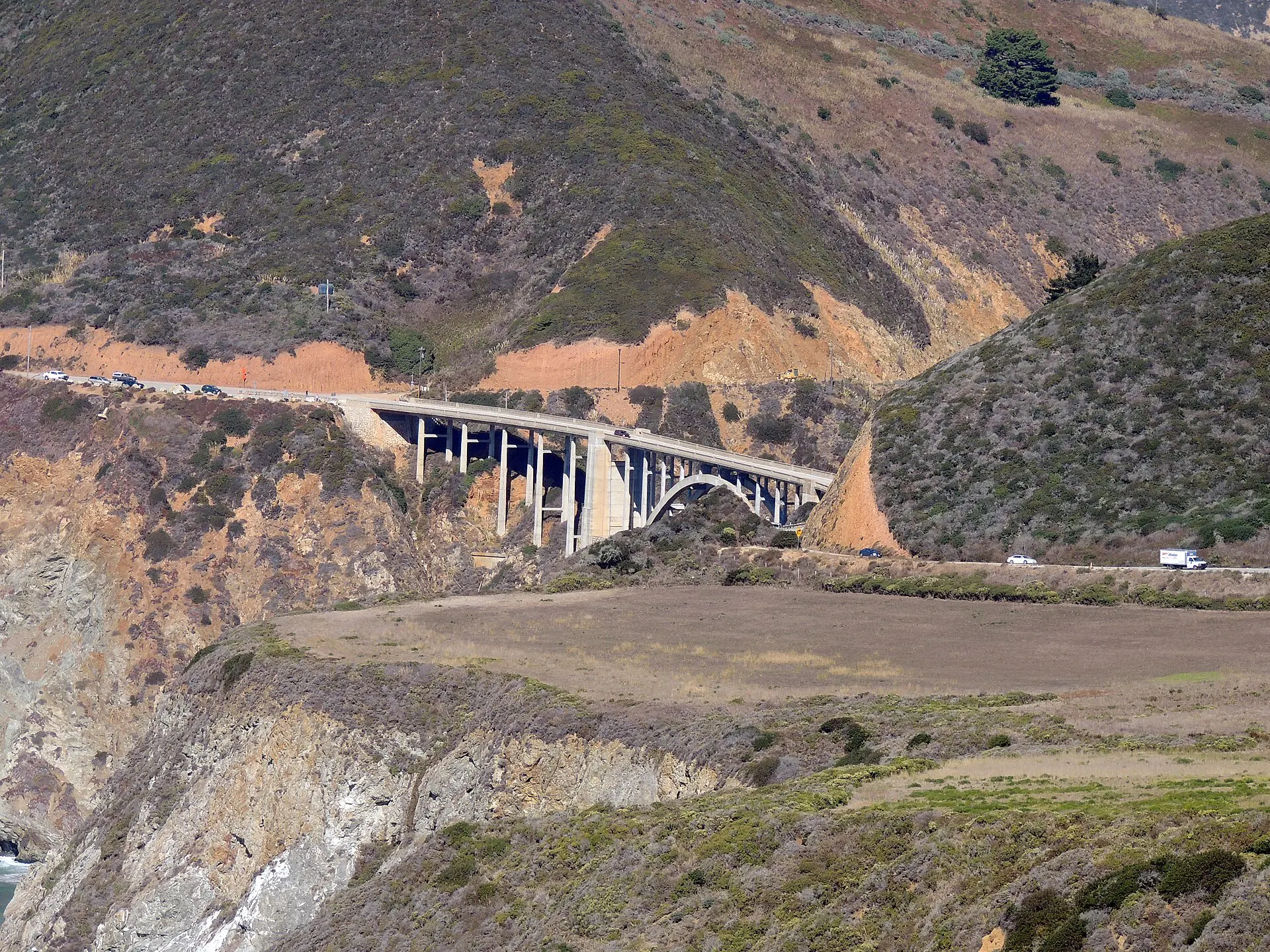
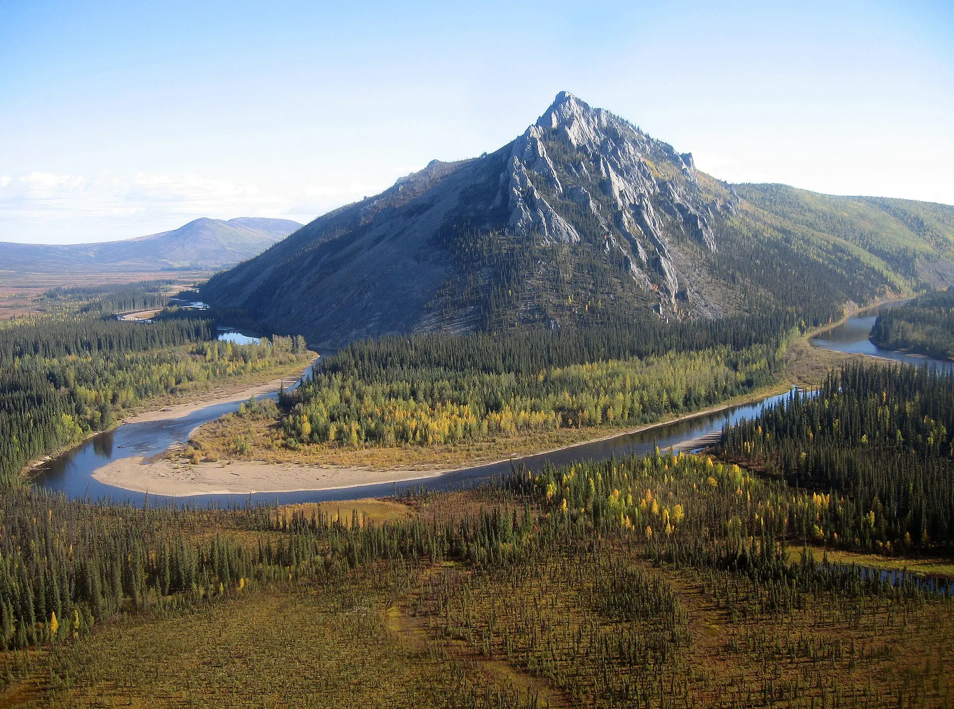
Season decides which roads exist. Mountain passes and park roads can close from autumn to late spring; desert routes can be dangerous in midsummer heat; some tropical roads wash out in the wet season. Start from the official road authority’s seasonal notes for the region, then draw the route. A route that is perfect in July may be shut in October. Examples: the Icefields Parkway in Canada needs winter tyres in the cold months, Highway 1 on the California coast has had long landslide closures, and Alaska’s Dalton Highway is gravel for most of its length.
2. Fix your anchors and count the legs
List the fixed items: arrival, departure, any ferry, permit entry or timed booking. Draw legs between them. Divide the distance by the cap for the road type in the table to find the number of driving days. If that number does not fit your dates, cut destinations, not sleep. Fewer, longer stays beat a list of one-night stops.
3. Map fuel, charging and water gaps
List the longest stretch between fuel stations on each leg. In remote areas this can be 150 to 400 km, and stations can close early or be out of stock. Fill up when the tank is half full, not when the light comes on. Electric vehicles need chargers confirmed by more than one source; carry a fallback of a slower charger or an overnight stop. Carry at least 3 litres of drinking water per person in remote areas.
4. Check road status, closures and seasonal limits
Look up the official traffic or park road report for each region the week before and the morning of driving. Wildfire, snow, flooding and construction can close roads with no notice.
Save the contact details of the road authority offline; in Canada that means provincial services such as Alberta 511 and DriveBC, and in the United States the state transport department’s road report. If a route has a single road in and out, plan a hold town on each side, because a closure then leaves you stuck rather than rerouted. The Jasper National Park access guide shows that pattern in practice: two highways, one fuel town and a closure fallback for each.
5. Book the fixed nights and keep the rest flexible
Book nights in places where beds run out: national park gateways, island towns and anywhere in a festival or school holiday week. Choose free cancellation where possible. Leave one or two nights unbooked in the middle of the route, so you can stop early after a bad road or push on after a good one. Never plan to find a room in a remote town after dark. If you must arrive late, phone ahead and confirm a key-collection arrangement, and keep a backup town within 60 km.
6. Prepare the vehicle, papers and insurance
Check tyres, including the spare, oil, coolant, wipers and brakes before departure. For hire cars, read the rules on gravel roads, border crossings, one-way drop-off fees and ferry use, which can void cover. Carry your driving licence, an international driving permit if the country asks for one, and proof of insurance. Check the rules for the country; they change.
7. Pack for the failure case
The kit should get you through a 6 to 12 hour wait: water, food that needs no cooking, a charged power bank, a paper map of the region, a torch, a first aid kit, a warm layer and a tyre repair kit or the knowledge to call roadside assistance. In cold regions add a blanket and a shovel. Tell someone your intended route and check-in time. A paper copy of the booking addresses and your insurer’s phone number costs nothing and works when the battery does not.
Common road trip planning mistakes and edge cases
- Trusting the app time. A map app often assumes free-flowing traffic. Add 15 to 25 percent for stops, queues and photo halts.
- Driving at dusk or dawn in wildlife areas. Collisions with large animals are common; cap the day so you arrive before dusk.
- One long day to save a night. It saves little and uses your buffer.
- Ignoring time zones and border queues. A border can add 1 to 3 hours.
- Assuming signal. Many scenic roads have none for 100 km or more. Download maps offline before you leave the town, and test that the offline map can search for fuel stops, not just show the road.
- Skipping meals and water to make time. Tired drivers make poor calls. Stop every two hours for 10 to 15 minutes, and eat before the last long leg.
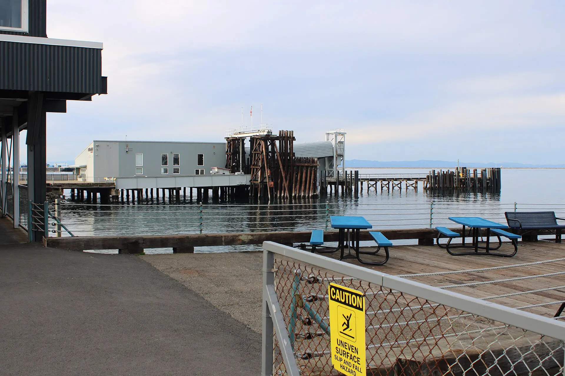
- Planning ferries as roads. A ferry is a timetable; wind and fog cancel it. The Port Angeles to Victoria ferry guide and the Vancouver to Victoria ferry guide show how to leave a margin on a crossing.
What to verify before you rely on your road trip plan
Treat this as a pre-departure check, run 48 hours out and again on the morning.
- Official road report: no closures on the planned legs, and the route has a known alternative.
- Fuel or charging: the longest gap is under your safe range.
- Bookings: dates, check-in windows, cancellation terms, ferry or permit times.
- Vehicle and papers: licence, insurance, hire-car terms, tyre pressure and spare.
- Weather: the forecast for passes, coast and desert legs; a decision time to change plans.
- Offline copies: maps, bookings and emergency numbers saved on the phone and on paper.
All fees, closures, timetables and rules change. Confirm every one with the official source before you rely on it.
Where to go next: road trip routes and related guides
Once you know how to plan a road trip, pick a route with real distances. The road trip ideas guide lists routes with their gaps and fallbacks. For a park-based case study, read the Jasper access guide linked in step 4. For a leg that depends on a boat, see the ferry to France guide for crossing times and disruption.
FAQ about how to plan a road trip
How far should you drive in a day on a road trip?
Plan 300 to 450 km on ordinary two-lane roads and up to 600 km on motorways, or about 4 to 6 hours of driving. On mountain, gravel or unfamiliar roads, cut that by a third or more. Long days eat your buffer and raise the risk.
How many days should a road trip be?
Count driving days from your daily cap, then add one buffer day for every five to seven driving days and at least two nights in the places you actually want to see. Under one week, stay in one region and avoid long transfers.
How do you plan a road trip route?
Start with fixed anchors, join them with legs that fit the daily cap, and check each leg for fuel gaps, closures and the nearest alternative road. Then choose the nights. Use a map app for timing, but verify the road status with the official source.
How much fuel should you carry on a road trip?
Carry no spare fuel on most routes; plan stops instead. Where gaps run over 200 km, fill up at each station, keep the tank above half, and check opening hours. Use a legal, approved container only if the trip really needs one.
What should you do if a road is closed?
Do not drive around barriers. Check the official road report, take the alternative route you wrote in advance, or stay put and wait. Phone your accommodation, move the next night if needed, and use your buffer day rather than rushing a detour.