Jasper National Park is reached by two roads: Highway 16 from Edmonton (about 390 km to Jasper townsite) and the Icefields Parkway from Lake Louise (232 km). You need a car, a park pass for any stop inside the boundary, and a full tank, because fuel inside the park is sold only in Jasper town. Plan for closures: wildfire recovery work and weather can shut roads, so keep a second route and a spare day in the plan.
Getting to Jasper National Park: roads, train and fuel
Highway 16 (the Yellowhead) crosses the park east to west. From the east, Hinton is 69 km before the gate and Edmonton is about 350 km from the park boundary. From the west, Valemount is about 110 km away. Edmonton is the quicker airport; Calgary has more international connections but adds the Icefields Parkway or a long drive around it. Edmonton is roughly 4 to 5 hours of driving to Jasper townsite; Calgary is longer, about 5.5 to 6 hours or more with stops.
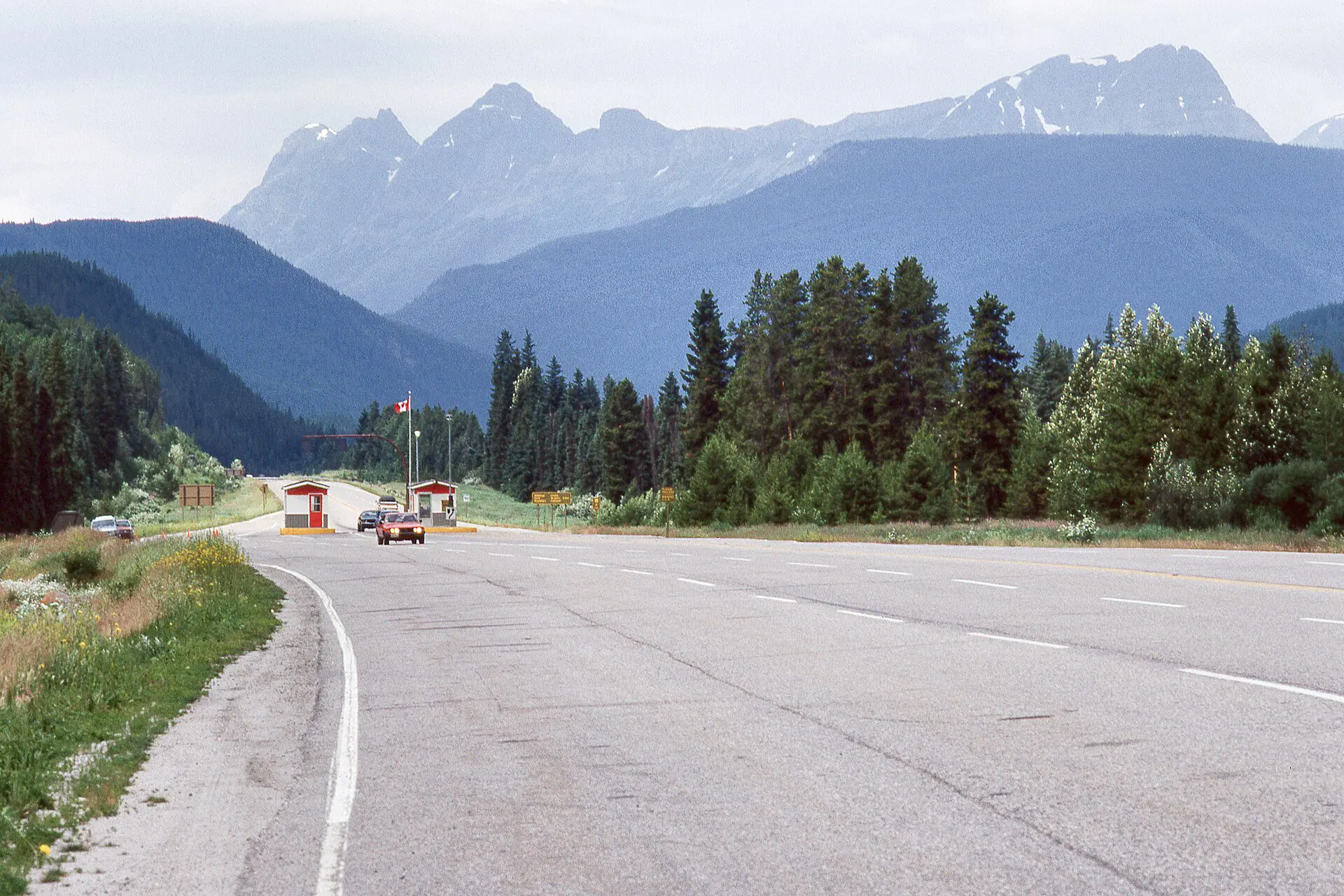
VIA Rail serves Jasper on its long-distance lines, and the schedule is thin. Treat the train as a way in, not a way to get around: the lakes, canyons and trailheads are spread over 11,000 km2 and public transport is limited. Hire a car, or book guided transfers, and check availability early in summer.
A park pass is required for anyone stopping in the park, even for fuel, and for the Icefields Parkway between Lake Louise and Jasper. Check current fees on the Parks Canada site before you go. In winter, check the winter tyre rules for the Parkway before you drive it.
Roads, closures and wildfire recovery in Jasper
In July 2024 wildfires burned through large parts of the park and destroyed part of Jasper town; rebuilding was still underway as of 2026. Some trails, campgrounds and viewpoints have stayed closed or restricted since, and conditions change with fire risk and smoke. Do not rely on an old trail map or a blog post from before 2024.
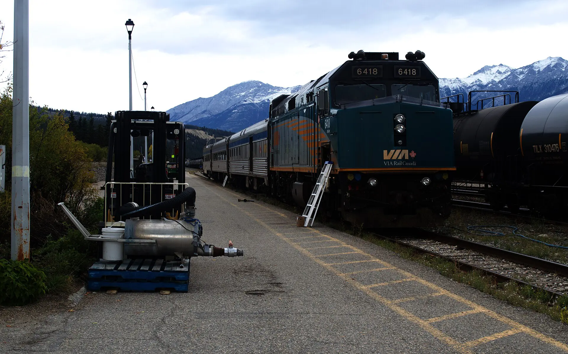
Check three sources on the day: the Parks Canada alerts page for Jasper, the Alberta 511 road report and the Highway 93 report for the Icefields Parkway. Book accommodation with a free-cancellation window if you can. If a section of road is shut, the fallback is either the other highway or an extra overnight in Hinton, Edmonton or Valemount.
Jasper National Park terrain and transport table
Distances are from Jasper townsite, rounded; times are driving or walking at a steady pace. Treat the reliability column as a guide, not a promise, and verify before each trip.
| Route | Distance | Time | Difficulty | Reliability notes |
|---|---|---|---|---|
| Maligne Canyon, upper bridges | 11 km drive | 1.5 to 2 hours on foot | Easy | Paved path; icy in winter, so check conditions. |
| Mount Edith Cavell road and Cavell Meadows | 30 km drive; about 8 km loop | 1 hour drive; 3 to 4 hours on foot | Moderate | Narrow, steep road; open roughly June to October, with snow-related closures. |
| Athabasca Falls | 30 km drive | 35 minutes drive; under 1 hour on foot | Easy | On the Icefields Parkway; busy mid-day. |
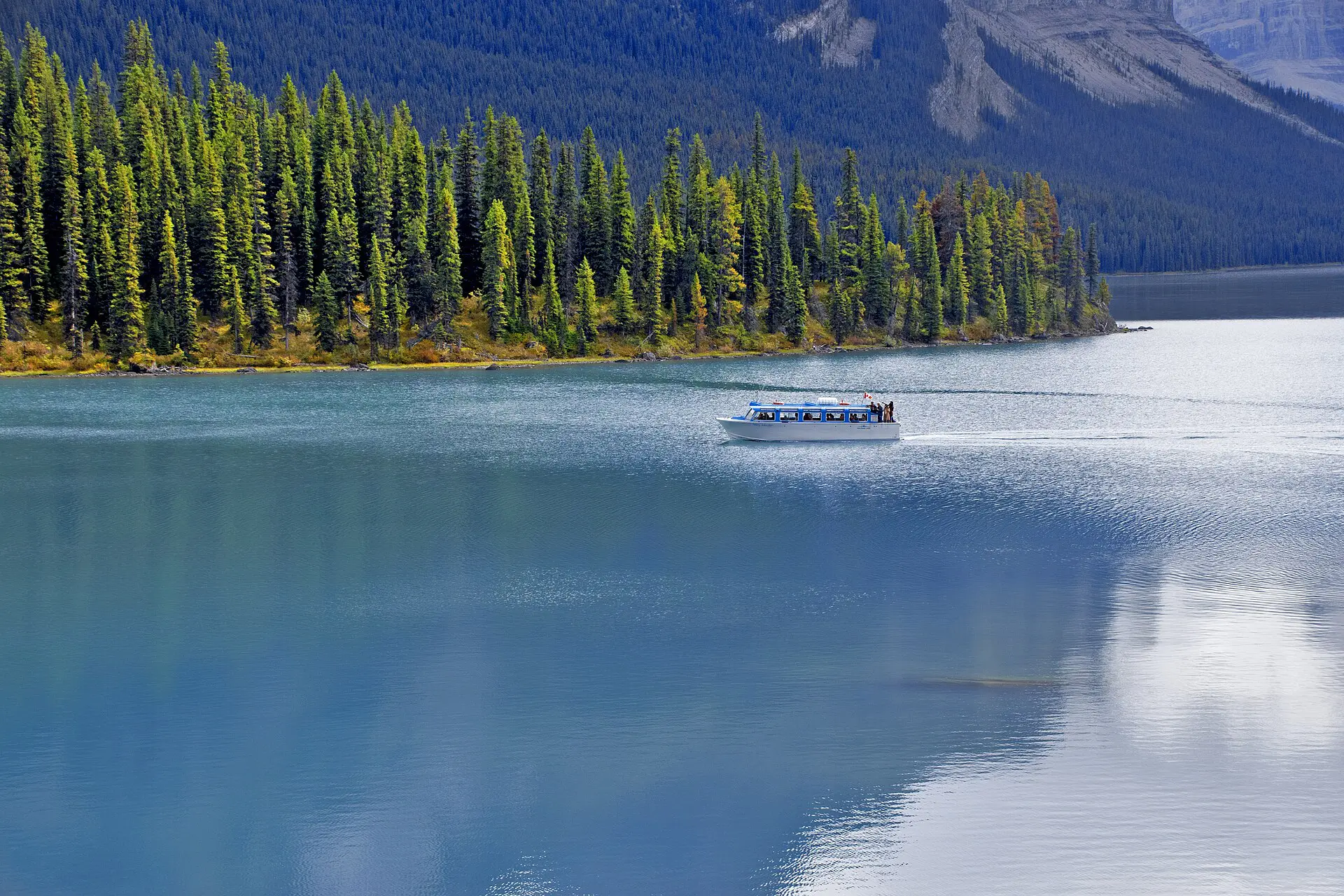
| Maligne Lake road and shoreline | 46 km drive | 1 hour drive | Easy to moderate | Wildlife stops slow traffic; lake boats are seasonal. |
| Valley of the Five Lakes | About 9 km drive; about 4.5 km loop | 2 hours on foot | Easy | Good fallback when weather is poor; some muddy sections. |
| Sulphur Skyline | About 60 km drive; about 9 km return | 3.5 to 5 hours on foot | Hard | Exposed ridge; turn back in cloud or storm. |
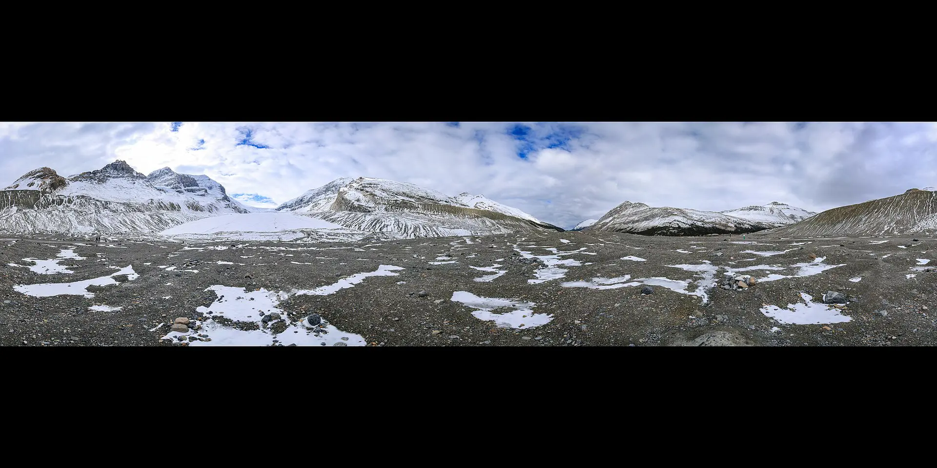
| Columbia Icefield, Parkway | About 103 km drive | 1.5 hours drive | Easy | Fuel and services thin out; weather turns fast. |
Best hikes and routes in Jasper National Park
Six of the seven routes below are day trips by car from Jasper town; the seventh, the Skyline Trail, is an overnight trek. Carry bear spray where trail signs advise it, treat creek water, and pack more food than you think you need: services at trailheads are minimal.
1. Valley of the Five Lakes
A loop of about 4.5 km with small lake shores and low gain, usually 2 hours. It suits a first day or a day with low cloud. Take 1 litre of water per person and expect mud in spring. Skip it if you want big views; the lakes sit below treeline.
2. Maligne Canyon
The upper path follows a limestone slot canyon with bridges over the drop. The upper section is short and paved. Going down to the lower bridges adds distance and gain; take food and leave early to avoid tour-bus timings. Skip the lower trail in ice.
3. Cavell Meadows
A loop of about 8 km with around 400 m of gain, reached by a narrow road up to the Mount Edith Cavell car park. Snow can linger into July. Water is only from streams, so bring 1.5 litres. Leave early in the day: the car park fills and the road can close.
4. Opal Hills
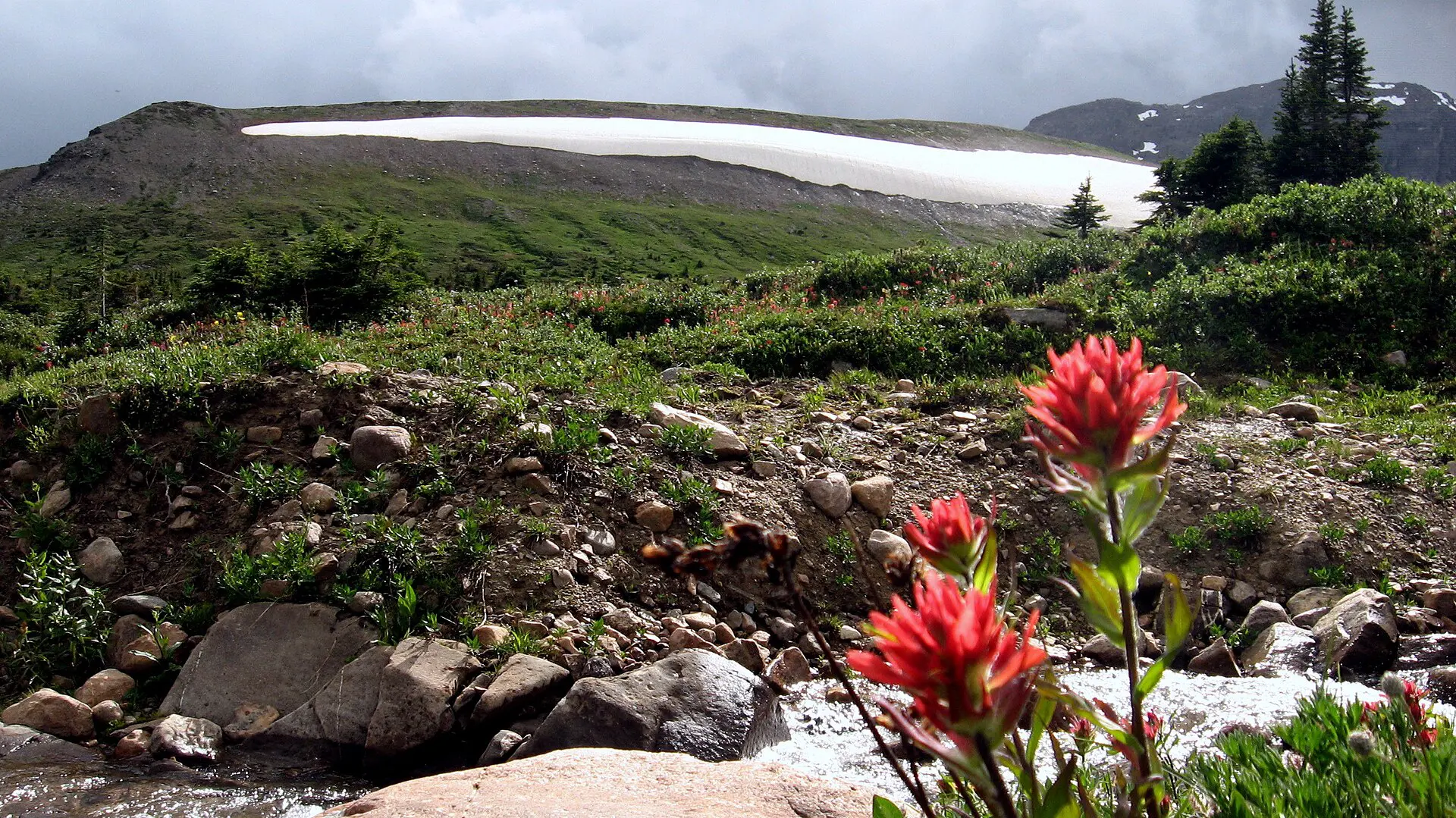
A steep loop of roughly 8 km above Maligne Lake, with about 460 m of climb through forest to open meadow. It is shorter than it looks on the map and it is hard on the knees. Carry layers; wind on the ridge changes the feel of the day.
5. Sulphur Skyline
The out-and-back to the ridge near Miette Hot Springs is about 9 km return with roughly 700 m of gain. The ridge is exposed to wind and lightning. Start early, carry at least 2 litres, and treat the hot springs as a tired-legs reward, not a plan you can count on; confirm opening status first.
6. Wilcox Pass, near the Columbia Icefield
Just across the Banff boundary, this day hike of about 8 km return gives an open-ground view of the icefield without a glacier tour. Weather turns quickly at altitude, so carry a shell, a hat and gloves even in August. It is a good use of a Parkway drive day.
7. The Skyline Trail, overnight
A multi-day route of about 44 km with long stretches above treeline, needing backcountry reservations, bear awareness and full self-sufficiency. It is only for people with trip experience and a weather window. If bookings are gone or the forecast is poor, replace it with two day hikes.
Best time to go: season windows
- Mid-June to mid-September: the main window. Roads and higher trails are open, daylight is long, and smoke risk rises in July and August.
- September to mid-October: cooler, quieter, and good for larch colour and dry trails. Snow can fall at altitude early.
- November to April: winter. Short days, ice, and road closures; the Parkway needs winter tyres and a plan for delays. Several roads, including the Cavell road, are closed.
- May to early June: thaw. Muddy trails, high rivers, some lakes still frozen. Fewer crowds, fewer options.
Water in the park comes from streams and lakes; treat or filter it. Food is sold in town, so buy trail food there before driving up the Parkway.
Fallbacks if the road, trail or weather fails
- Highway 16 closed: hold in Hinton, Edmonton or Valemount and check Alberta 511 or DriveBC before moving.
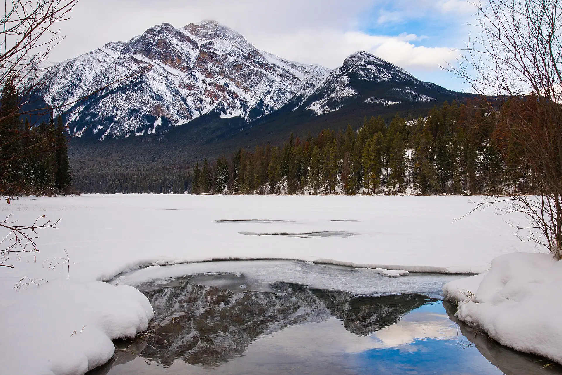
- Icefields Parkway closed: stay on Highway 16 and use Jasper town as a base for the Maligne road and Pyramid Lake; do not drive around through another province without checking.
- Smoke: swap long ridges for short forest walks or a day out of the park; check the air quality index in the morning.
- Cavell road shut or full: use Valley of the Five Lakes or the Maligne Canyon trail.
- Heavy rain: keep a rest day. Canyon paths and viewpoints stay open when ridges do not.
- Bear closure on a trail: pick a loop from the table with similar length and no closure notice.
Skip Jasper National Park if…
Skip it if you cannot drive or hire a driver; if you need guaranteed facilities, because wildfire recovery means some services remain limited; or if your dates fall in November to April and you have no winter driving experience. I would also skip the Skyline Trail without a booking and a weather forecast. Banff and Lake Louise are easier on public transport, though busier. For regional context, see the Canada travel guide, the Jasper National Park article on Wikipedia and the Jasper National Park guide on Wikivoyage.
FAQ about Jasper National Park
Do you need a car in Jasper?
Mostly yes. The sights are spread over long distances, and public transport inside the park is limited. A hired car gives the most flexibility. If you do not drive, book guided transfers or tours for Maligne Lake and the Icefields Parkway, and check the operating dates before you plan around them.
How far is Jasper from Edmonton and Calgary?
Jasper townsite is about 390 km from Edmonton and about 430 km from Calgary. Edmonton is generally the quicker drive, around 4 to 5 hours. Calgary is longer but can be combined with the Icefields Parkway, which adds time and scenery, so allow a full day.
How many days do you need in Jasper?
Plan for 3 days at minimum: one for the town and Maligne Canyon, one for the Maligne Lake road, and one for the Icefields Parkway or Cavell. Add a spare day for weather or closures. With 2 days, pick one road and one hike, and skip the rest.
When is the best time to visit Jasper?
Mid-June to mid-September gives open roads and trails, with long daylight. September offers cooler days and fewer people, but snow can start early at altitude. Winter is for people who can drive on ice and accept closures. Check wildfire smoke forecasts for July and August.
Is Jasper open after the 2024 wildfire?
Yes, the park is open, but some areas, trails or services have been closed or restricted during recovery as of 2026. The town is being rebuilt, and accommodation may be limited. Check the Parks Canada alerts page and book flexible rates before you travel.