W Trek Torres del Paine logistics start in Puerto Natales, and the order matters: book beds first, then the park entry and transport, then gear. The trek is roughly 75 to 80 km over 4 to 5 days between refugios and campsites, and the fixed points are the bus, the catamaran and the weather. Plan one spare day for wind, and know the shorter route you will take if a stage closes.
Getting from Puerto Natales to Torres del Paine: transport and bookings
Puerto Natales is the base. It is about 247 km northwest of Punta Arenas, a bus ride of roughly 3 hours, and about 6 hours by bus from El Calafate in Argentina. In the high season, roughly September to April, flights link the small airport about 10 km outside town with Puerto Montt and Santiago; check the schedule for your dates.
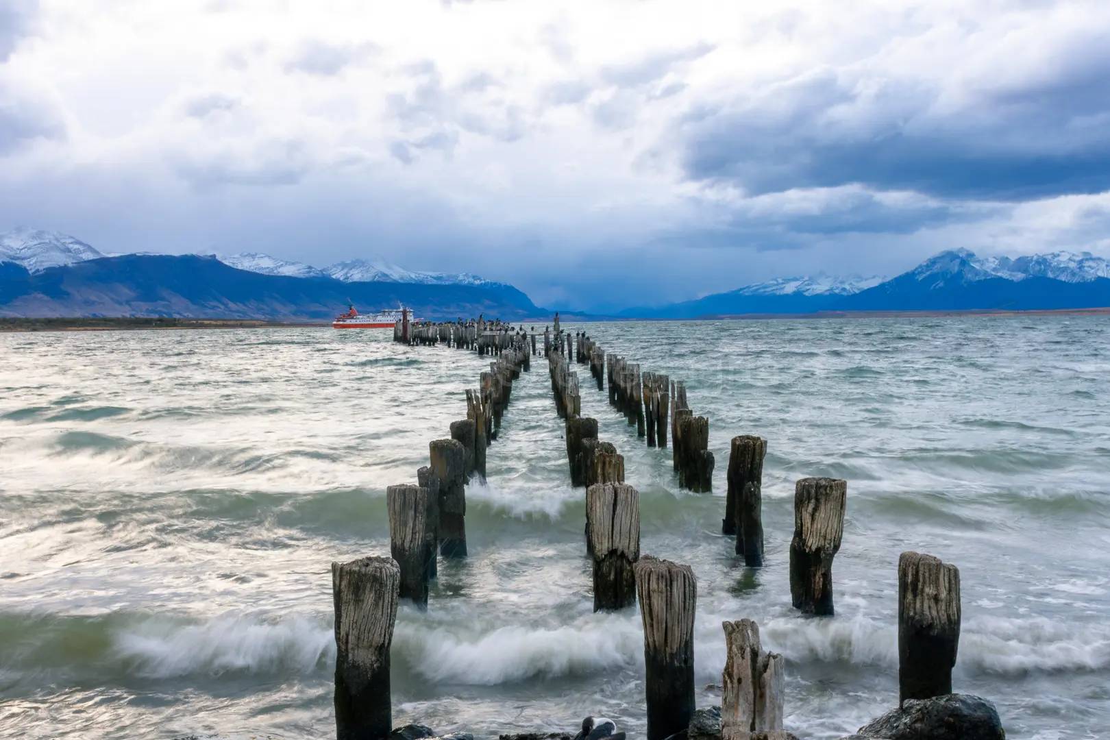
The Navimag ferry from Puerto Montt also ends here, but sailings are weather-dependent. Buy food and fuel in town: prices inside the park are far higher.
Buses run from the Puerto Natales terminal to the park entrances during the season, with the trip to the Laguna Amarga entry taking around 2 to 2.5 hours. In summer, book the return seat ahead. Plan the sequence like this:
- Beds first. Refugio beds and campsites inside the park are booked in advance, and the best dates in December to February sell out months ahead. As of 2026, check the official park and operator websites.
- Park entry. Entry is sold online or at the gate; confirm the current system and bring your passport.
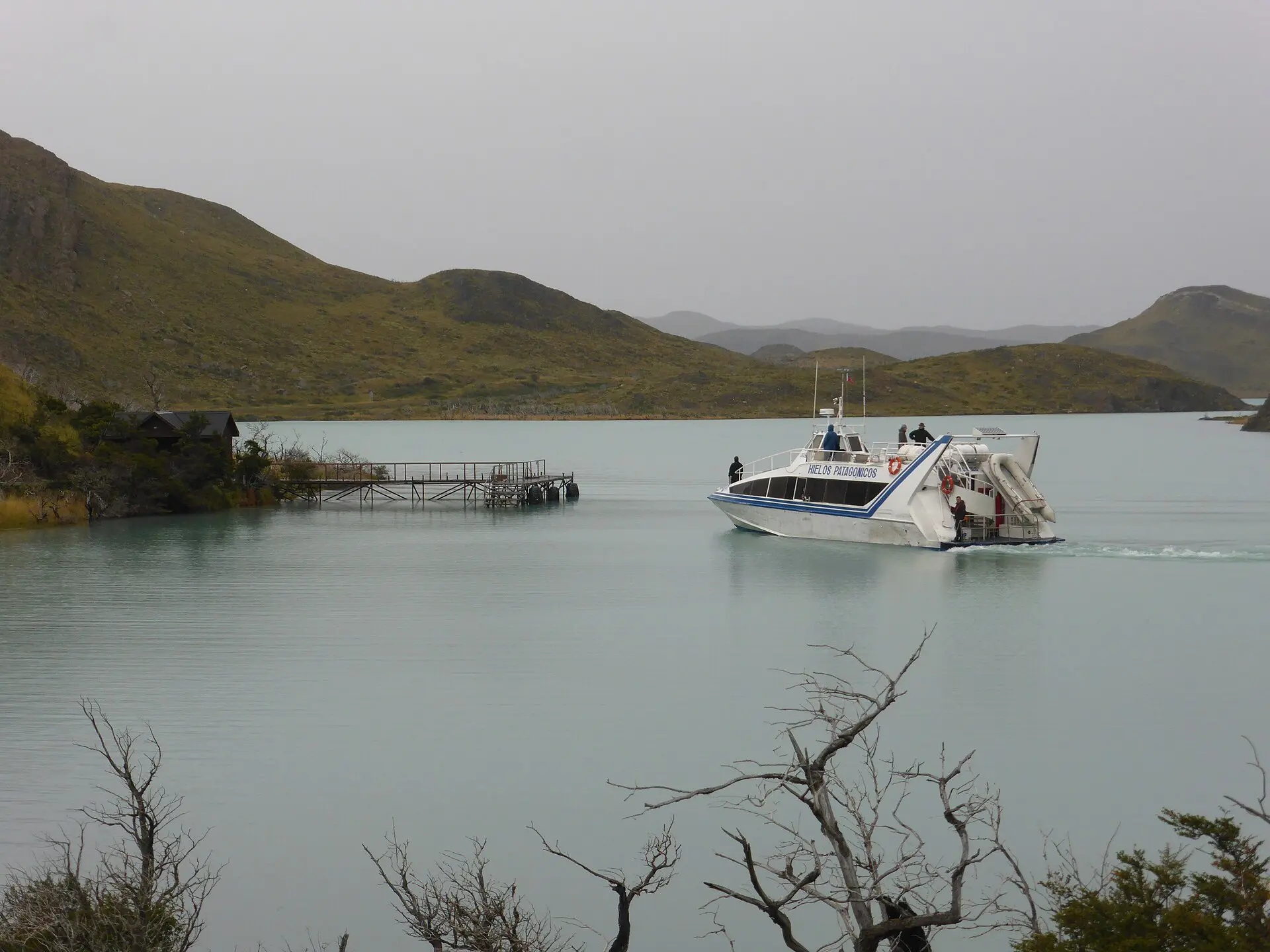
- Bus and catamaran. Book the Natales bus both ways. The catamaran across Lago Pehoé runs in season on a fixed schedule and is the usual way to leave the western end.
- Gear and food. Rent or buy in Natales; Punta Arenas can be cheaper for gear.
W Trek stages and terrain table
Figures are rounded and one way unless stated. They assume the east-to-west direction, which starts at the Towers and finishes at Grey. Times include short stops.
| Stage | Distance | Time | Difficulty | Water and food |
|---|---|---|---|---|
| Las Torres to Torres viewpoint and back | about 19 km return | 8 to 9 h | Hard, steep last stretch | Streams; meals at refugio |
| Chileno to Cuernos | about 12 km | 5 to 6 h | Moderate, rolling | Stream water; refugio dinner |
| Cuernos to Francés | about 6 km | 2 to 3 h | Easy to moderate | Short stage; eat at camp |
| Francés valley to Británico and back | about 11 km return | 5 to 6 h | Moderate | Carry lunch; stream water |
| Francés to Paine Grande | about 7.5 km | 2.5 to 3 h | Easy | Refugio food at the end |
| Paine Grande to Grey | about 11 km | 3.5 to 4 h | Moderate, exposed | Water on route; Grey has meals |
| Grey back to Paine Grande, then boat | about 11 km | 3.5 to 4 h | Moderate | Lunch from Grey; boat times fixed |
W Trek Torres del Paine logistics: stage-by-stage notes
The park entrance at Laguna Amarga is about 7 km from the Las Torres area; buses and shuttles cover the gap in season, and walking it adds around 2 hours before the first stage. Count that into day one.
1. Las Torres to the Torres viewpoint
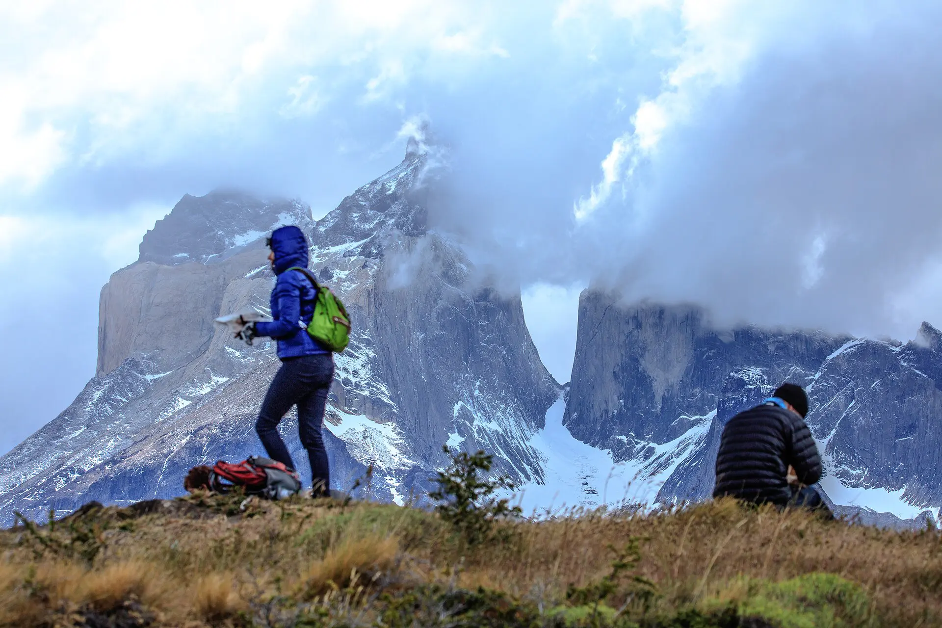
This is the hardest single day: about 19 km return, with a steep, rocky final climb to the lake under the three granite towers. Start before dawn if you want the light and fewer people. If cloud sits on the towers, the view may not appear at all, which is why a spare day matters.
2. Chileno to Cuernos
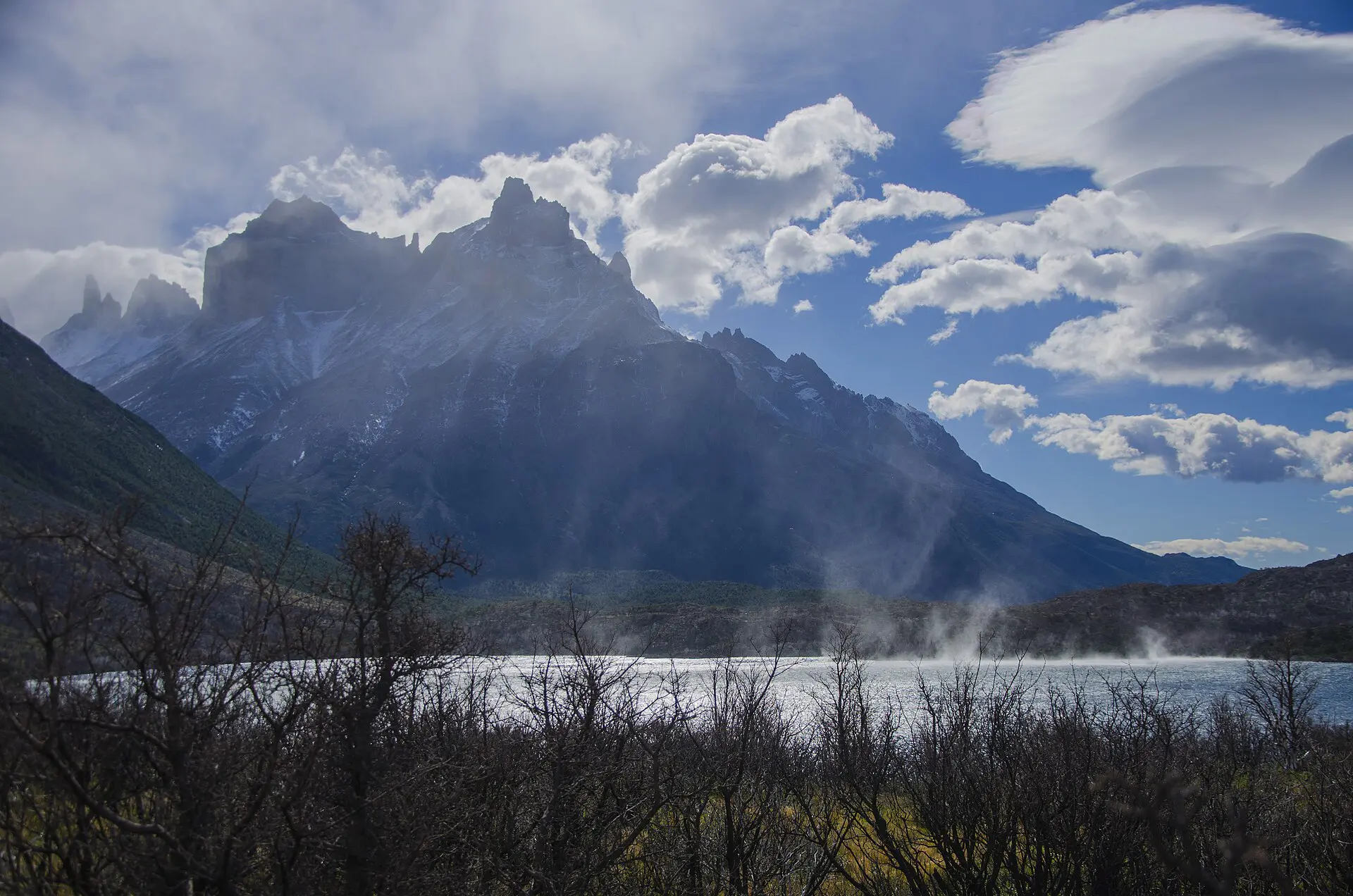
A long, rolling traverse of about 12 km along Lago Nordenskjöld. Wind can be strong on the open stretches. Fill your bottles at the streams, which are generally used by trekkers, but ask the refugio staff about current conditions.
3. Cuernos to Francés
A short stage of about 6 km. Use it to rest, wash clothes and prepare the longer days ahead. If you are behind schedule, this is the day to make up time.
4. Valle del Francés and Británico
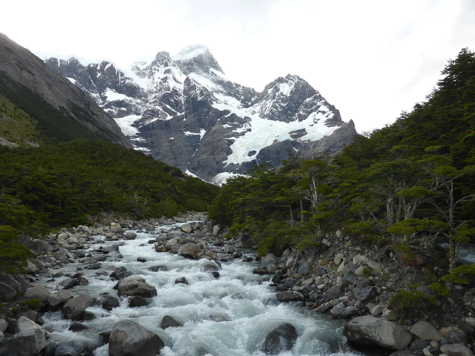
A day walk from Francés up the valley, about 11 km return, with a view of the glacier and rock walls. Storms can close it, and rockfall noise is normal. Go in the morning, when the wind is usually lower, and carry a windproof layer.
5. Francés to Paine Grande
Many trekkers book Francés and Italiano as separate camps, so check which one your bed is in before you set off from Cuernos.
An easy 7.5 km walk back along the lake to the western hub. The wind builds through the day, so move early. Paine Grande is also the catamaran landing: check the next departure when you arrive.
6. Paine Grande to Grey
The route runs about 11 km along a high, open path toward the Grey Glacier. It is exposed and cold. A hat and gloves are needed even in summer. Water is easy, and Grey has a refugio, a campsite and a viewpoint over the ice.
7. Grey back to Paine Grande and the boat
You retrace the same route. Time the day so that you reach Paine Grande well before the last catamaran. If you miss it, you wait for the next day, so keep your return bus flexible.
Weather and season windows for the W Trek
- November to March: the main season. Long days, but wind is frequent in December to February, and gusts can exceed 100 km/h.
- Late October and April: quieter and colder. Some services run a reduced schedule, and refugios may close; check before you book.
- May to September: winter. Short days, snow and closed services. Not a self-guided trip for most people.
Wind sets the real schedule for W Trek logistics: a plan that works on paper can fail on one gusty afternoon. Weather changes within hours. Carry a shell, a warm layer, gloves and a hat, and dry bags for the sleeping kit. Fires are not allowed; use a stove only where permitted, since the park has burned in past fires.
Fallback days and shorter alternatives
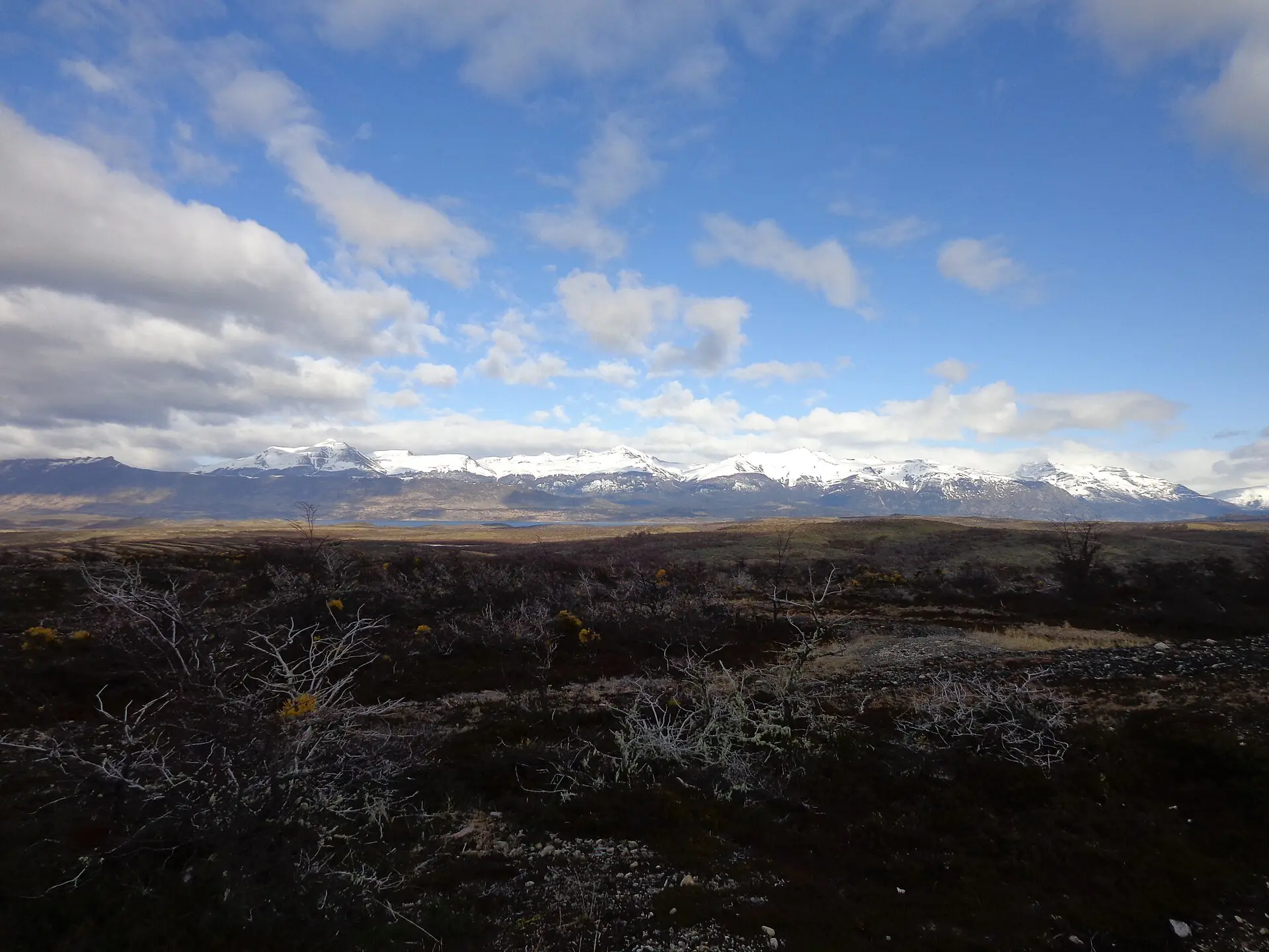
- High wind on the Torres day: wait one day at Chileno or Las Torres, not on the exposed climb. Gusts make the upper section risky.
- Catamaran cancelled: keep a spare day, and ask refugio staff about other options. Do not book a flight out on the last day.
- Rain or storm in the Francés valley: skip Británico and walk straight to Paine Grande.
- Injury or delay: cut the Grey stage. Paine Grande is the natural exit.
- Only 2 to 3 days: do the Torres viewpoint on a day from Natales by bus, or Valle del Francés from Paine Grande.
- Bad weather in town: the Cueva del Milodón is a short trip from Natales and works as a rest-day outing.
Skip this if…
- You cannot book beds in advance. Walking in without a bed is a gamble in the season.
- You are travelling in winter without experience in snow. The W needs a different plan then.
- You cannot afford a spare day. Wind will use it.
- You dislike carrying 8 to 12 kg. Refugios reduce weight, but you still carry layers and water.
W Trek logistics costs (hedged)
All figures are rough and in US dollars; verify before you go. Park entry for foreign visitors is generally in the range of 30 to 50 USD, higher in the peak months. Camping is often 15 to 40 USD per person per night, while refugio beds with meals commonly cost 100 USD or more. The Natales to park bus is usually 10 to 20 USD each way, and the catamaran is extra. Food bought in town is much cheaper than in the park.
For wider planning, see the Chile travel guide and the Puerto Natales guide, or read the Puerto Natales article on Wikipedia.
FAQ about W Trek Torres del Paine logistics
How many days does the W Trek take?
Four to five days is standard, covering about 75 to 80 km. Add a spare day for wind. Fast walkers can do it in 4 days, but a schedule with no slack can break on the first bad weather.
How do you get from Puerto Natales to Torres del Paine?
By bus from the terminal in town, about 2 to 2.5 hours to the Laguna Amarga entrance. In summer, book return seats ahead. Some agencies also offer transfers, and a rental car works if you are comfortable with gravel roads.
Do you need to book the W Trek in advance?
Yes. Beds and campsites in the park are booked ahead, and December to February can sell out months early. Check the current booking system on the official sites, as rules have changed in recent years.
What is the best direction for the W Trek?
Many people walk east to west, finishing at Grey and taking the catamaran. Others reverse it to see the Towers last. The direction mostly affects bookings and wind. Choose by what you could book, then check the weather forecast.
What happens if the weather is too bad to hike?
Stay at the refugio or camp and wait. Do not cross exposed sections in strong gusts. Your plan needs a spare day, and the shortest exit is to Paine Grande or back to the road near Laguna Amarga.