Pokhara Annapurna trek logistics come down to three things: permits before you leave town, a jeep or bus to the trailhead near Nayapul, and a slow enough ascent to keep you on the trail. Most treks to Annapurna Base Camp take 7 to 10 days from Pokhara. The Poon Hill route takes 3 to 5. Weather, landslides and altitude sickness are the usual causes of change, so each stage below comes with a fallback.
Getting from Pokhara to the Annapurna trailheads
Pokhara sits at about 820 m on the shore of Phewa Lake, and it is the starting point for most Annapurna treks. The usual road start is Nayapul, roughly 40 km and 1.5 to 2 hours west by taxi, jeep or local bus. Some itineraries start nearer, at Phedi or Dhampus, for a shorter first day. Hire transport the evening before; early starts avoid road traffic and give you daylight on the trail.
If you are coming from Kathmandu, the road is about 200 km and takes 6 to 8 hours or more, longer in the monsoon or during roadworks. The 40-minute flight is faster but often delayed, and afternoon flights are the first to cancel. Book the morning flight and keep a day of slack. Fallback: if flights stop, the road still runs; if the road is blocked by a landslide, wait a day rather than push on.
Permits and bookings
Treks in this region need an Annapurna Conservation Area permit, and other registration or local entry fees have applied at various times. Rules on trekking with or without a guide have been announced and changed in recent years. Do not rely on any single source, including this one. Check the current requirement with the Nepal Tourism Board or a registered agency in Pokhara, and carry your passport and several passport photos. Permits are sold in town, and an agency can usually process them in a few hours as of 2026.
Teahouses along the main routes do not take advance bookings in most seasons, but in October and April the popular stops fill by mid-afternoon. Aim to arrive by 14:00.
Pokhara Annapurna trek logistics: stages and terrain
This is the Annapurna Base Camp (ABC) route via Ghorepani and Poon Hill. Distances, times and altitudes are approximate and depend on where you choose to stop.
| Stage | Distance | Time | Difficulty | Water and food |
|---|---|---|---|---|
| Pokhara to Nayapul | about 40 km | 1.5 to 2 h | Easy; rough road | Buy water in Pokhara |
| Nayapul to Ghorepani (2,870 m) | about 15 to 17 km | 1.5 days, 8 to 10 h walking | Hard; long stairs after Tikhedhunga | Teahouses at each village; treat water |
| Poon Hill (3,210 m) and back | about 3 km | 1 h up, pre-dawn | Moderate | Tea at the top; carry a flask |
| Ghorepani to Chhomrong (2,170 m) | about 12 to 15 km | 6 to 8 h | Hard; up, down and up again | Lunch stops on the way |
| Chhomrong to Deurali (about 3,200 m) | about 10 to 12 km | 6 to 7 h | Moderate to hard | Teahouses only, prices rise |
| Deurali to ABC (4,130 m) | about 8 to 10 km | 5 to 6 h | Hard; altitude, avalanche zones | Basic food; bottled water costs more |
| ABC back to Jhinu Danda and out | about 20 km or more | 2 days | Moderate; steep knee-heavy descent | Hot springs at Jhinu; food in every village |
Stage-by-stage notes for the Annapurna Base Camp route
1. Pokhara to Nayapul and the first climb
The drive ends at the river. The trail rises past Birethanti and Tikhedhunga to the long stone staircase to Ulleri, thousands of steps, and the first day is the one that tires people. Start before 08:00 to be off the lower slopes before the afternoon heat. Fallback: stop at Tikhedhunga or Ulleri and split the climb into two shorter days.
2. Ulleri to Ghorepani
The path enters rhododendron forest and cools down. This stage is easier underfoot but has few views until Ghorepani. In spring, the rhododendrons flower. In monsoon, expect mud and leeches. Fallback: if it rains hard, stay put; trails above 2,500 m become slick and slow.
3. Poon Hill at sunrise
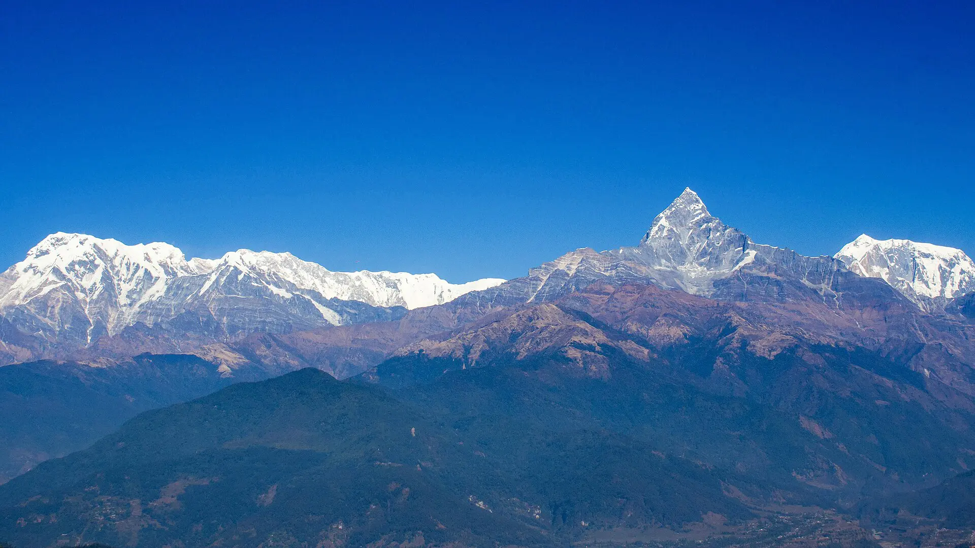
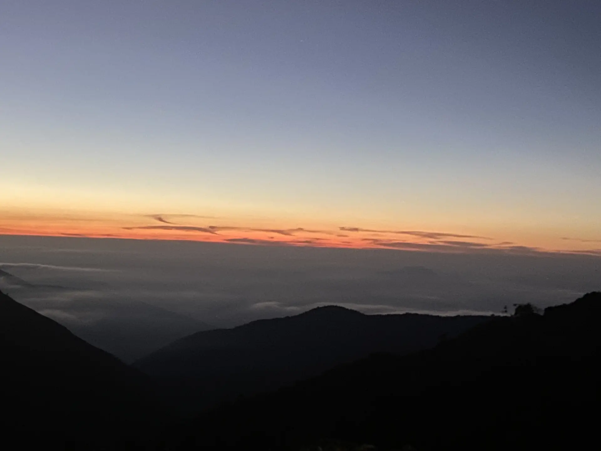
The climb starts before first light, with a head torch, and takes about an hour. The viewpoint faces Dhaulagiri and Annapurna South across the valley, and clouds can end the view completely. It is crowded in peak months. Fallback: if it is cloudy at 05:00, go back to bed and try the next morning, or skip it if you are short of time.
4. Ghorepani to Chhomrong
A long day with a big descent to the Kimrong river and a hard climb on the far side. Many people split it at Tadapani, which is the sensible choice if your knees are bad or weather is uncertain. Chhomrong has some of the last reliable shops. There are no ATMs on the trail, so carry rupees.
5. Chhomrong to Deurali
You descend steeply to a river, then climb through bamboo forest. This stretch has a history of landslides and avalanches in spring and autumn. Ask at your teahouse about the day’s conditions before you set off. Fallback: if the trail is closed or unsafe, stop and wait a day; there is no safe shortcut.
6. Deurali to Machapuchare Base Camp and ABC
This is the altitude step. You climb from about 3,200 m to 4,130 m over a day or two. The rule is to sleep no more than 300 to 500 m higher than the night before once you are above 3,000 m, and to add a rest night when you can. Do not ascend with headache, nausea or poor sleep that is getting worse. Descend instead. Fallback: sleep at Machapuchare Base Camp (about 3,700 m), and walk up to ABC early the next morning with a light pack.
7. Descent via Jhinu Danda to the road
Going down is faster but harder on knees. Jhinu Danda has hot springs below the village, a good place to end the effort. From there, the trail climbs to Chhomrong or follows the river toward Siwai or Nayapul, depending on the current route and bridges. Fallback: if the river path is washed out, take the higher trail and go out via Ghandruk.
Weather and season windows for Annapurna treks
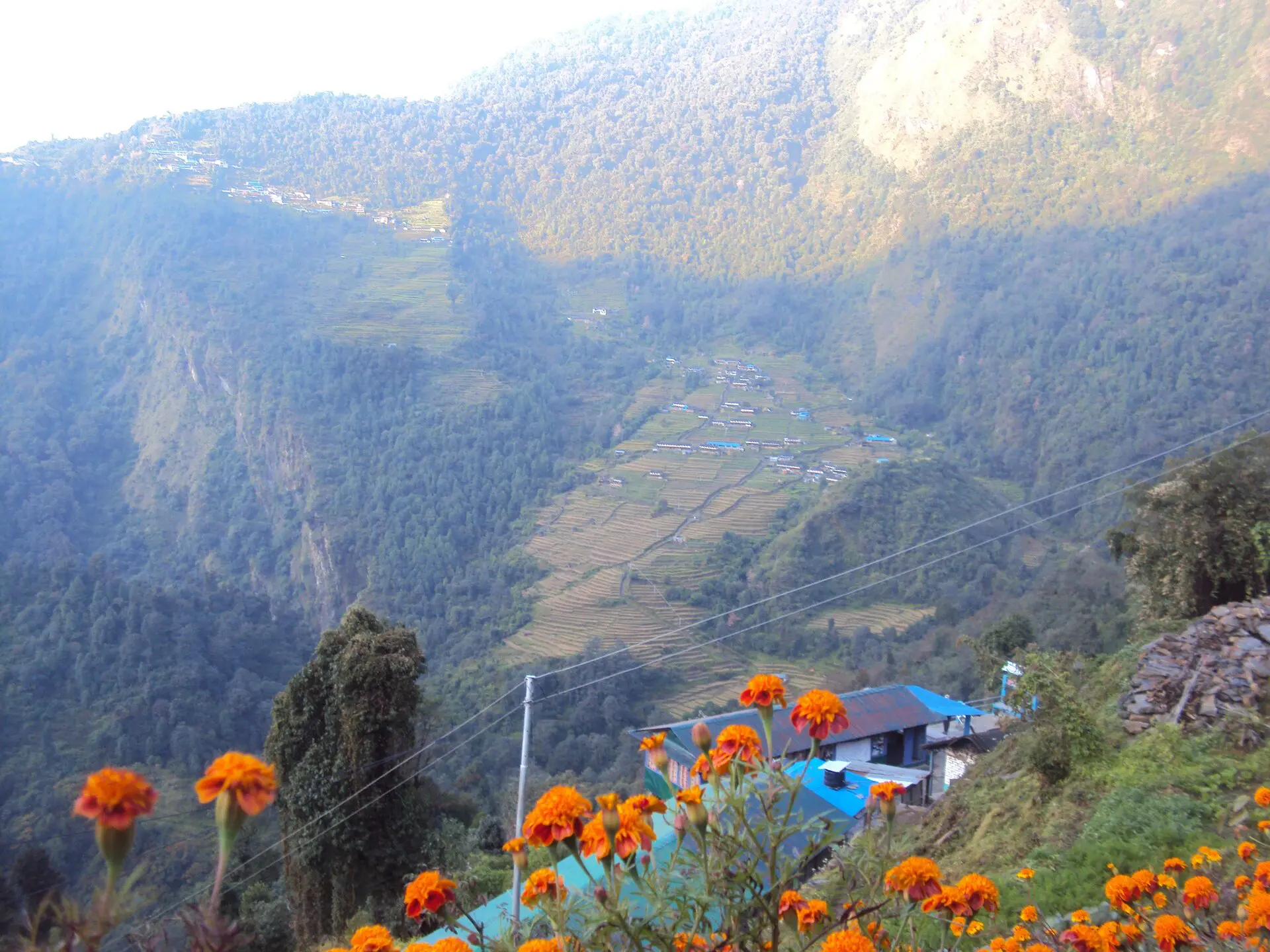
- October and November: the most stable weather and the busiest trails. Cold nights at altitude.
- March and April: warmer, with flowering forests and hazier distant views. A common second window.
- December to February: clear but cold. Snow can block the high sections, and some teahouses close.
- June to September: monsoon. Landslides, leeches, cloud and slow transport. I would not plan the Base Camp route in this window.
Fallback days and short alternatives from Pokhara
Build one spare day into any itinerary. If you lose it, you still finish on time. If you do not need it, spend it in Pokhara.
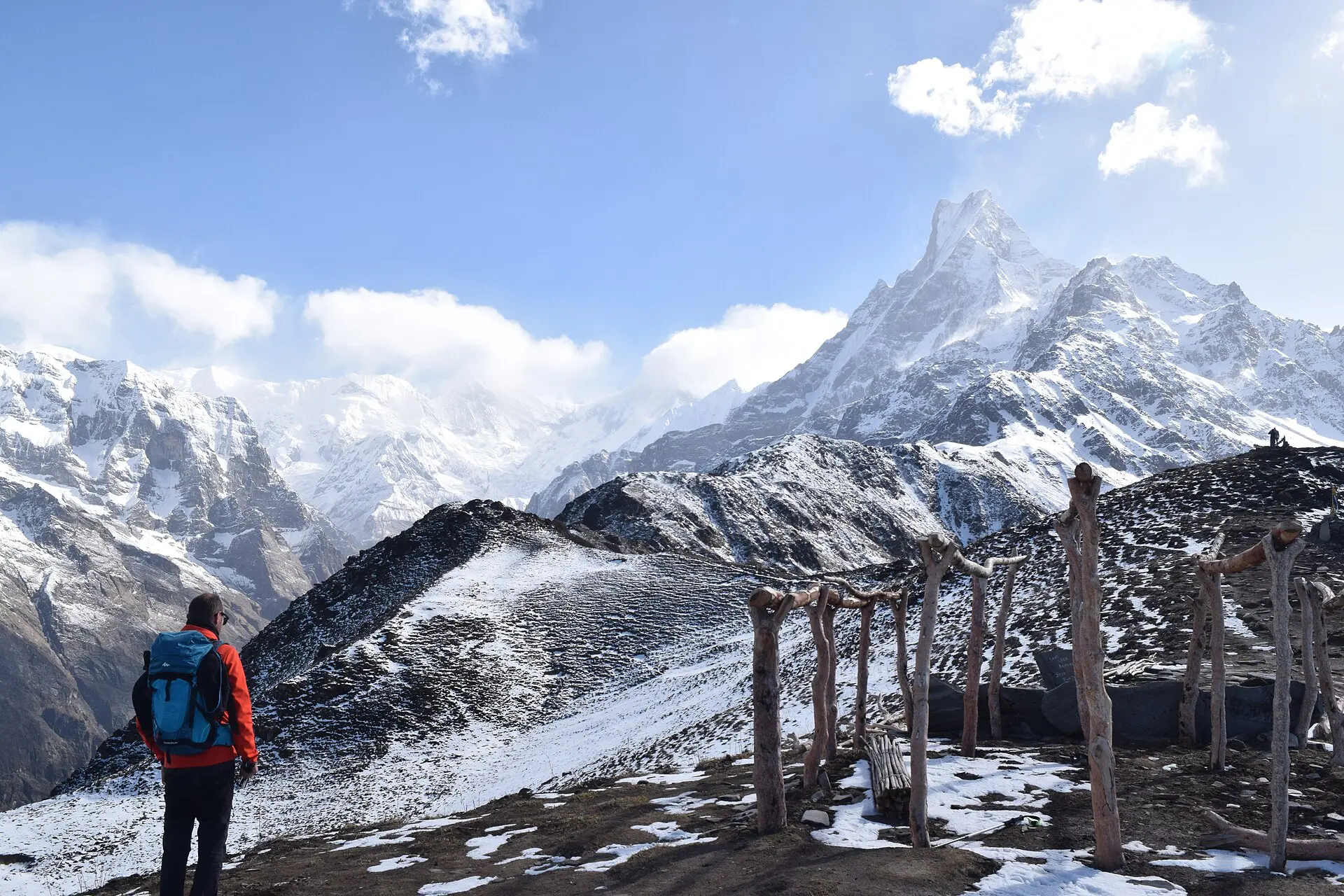
- Poon Hill loop, 3 to 5 days: the standard short trek. Lower altitude, many teahouses, and easy road access at both ends.
- Mardi Himal, 4 to 6 days: a quieter ridge route with a high point near 4,000 m. Narrow, steep and basic in places.
- Dhampus and Australian Camp, 1 to 2 days: a short walk close to Pokhara, useful if weather has closed the higher trails.
- Sarangkot day walk: a sunrise viewpoint above the city, reachable by taxi or on foot.
Skip the Annapurna Base Camp trek if
- You have fewer than 7 days, including a spare day.
- You are travelling in monsoon season.
- You have knee or heart problems and have not had them checked.
- You cannot turn back at altitude. That is the real test.
For background on the city, see the Pokhara guide on Wikivoyage. Our own Pokhara guide covers the town, and the Nepal travel guide covers the country.
Costs for Pokhara Annapurna trek logistics
All figures are rough as of 2026 and change with season and exchange rate. Permits cost a few thousand Nepali rupees in total. A guide or porter is a daily rate in the range of a few tens of US dollars. Teahouse rooms are cheap or free if you eat there, and meals rise in price with altitude. A basic independent trek often works out at roughly 30 to 50 US dollars a day including food and lodging. Check current prices before you go.
FAQ about Pokhara Annapurna trek logistics
How long does the Annapurna Base Camp trek take from Pokhara?
Seven to ten days is typical including the transfers. Fewer days means higher daily ascent and more risk. Add one or two spare days for weather or rest, especially in October when trails are crowded.
Do you need a guide for Annapurna treks?
Requirements have changed in recent years, so check the current rule with the Nepal Tourism Board or a registered agency. The main trails are well marked. A guide helps with weather, altitude decisions and route changes, which matter more than navigation.
When is the best time to trek near Pokhara?
October and November give the clearest weather. March and April are the second choice. December to February is possible with proper gear. June to September is monsoon, with landslides and cloud.
How high is Annapurna Base Camp?
About 4,130 m. Altitude sickness can start above 2,500 m. Ascend slowly, drink water and descend if headache, nausea or confusion get worse. A rest night at Machapuchare Base Camp is a good buffer.
What is the easiest trek from Pokhara?
The Poon Hill loop is the most common short option, usually 3 to 5 days, with lodges in every village. The Dhampus and Australian Camp walk is easier still and can be done in one to two days.