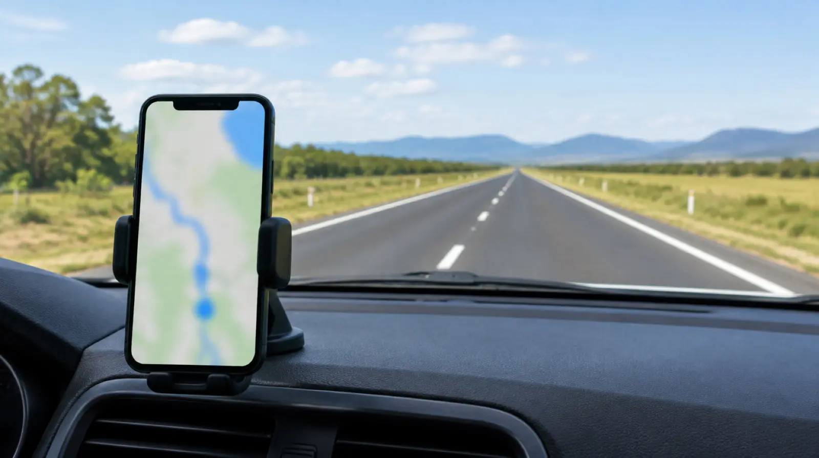
The best road trip apps are the ones that still work with no signal: an offline map you downloaded in advance (Google Maps, Apple Maps, HERE WeGo or OsmAnd), a fuel or charging finder, and a road-status source. Install two map apps, not one. Download maps before you leave town, because dead zones of 100 km or more are normal on remote routes.
How to pick the best road trip apps: the criteria
Apps fail in three ways: no signal, no battery, and out-of-date data. Judge each one by what it does when those happen. Five questions sort the list.
- Does it work offline? Maps and routing must run without data. Search and live traffic usually will not.
- How current is the data? Fuel prices, charger status and road closures are crowd-sourced or operator-fed and can be wrong.
- Which regions does it cover well? Some apps are strong in North America, others in Europe.
- What does it cost? Many have a free tier and a paid tier; prices and limits change, so check the store listing.
- What is the fallback? Every app on a trip needs a second source: a paper map, a second map app or an official road report.
Road trip apps compared: offline use, coverage and failure modes
This table groups the apps by job. Offline behaviour can change with updates, so test each app in airplane mode at home before you rely on it.
| Job | App examples | Works offline? | Best coverage | Typical failure | Fallback |
|---|---|---|---|---|---|
| Navigation with offline maps | Google Maps, Apple Maps, HERE WeGo | Yes, for downloaded areas | Global, strongest in cities | Map areas expire or are not downloaded | OsmAnd or Organic Maps, plus a paper map |
| Offline-first mapping | OsmAnd, Organic Maps | Yes, fully | Global, based on OpenStreetMap data | Less polished routing and search | Compare against a second map |
| Fuel prices | GasBuddy | No | United States and Canada | Stale prices in rural areas | Check the map for stations ahead and fill early |
| EV charging and range | PlugShare, A Better Routeplanner | Limited | North America and Europe | Broken or occupied chargers | Slower charger or an overnight stop |
| Route planning and stops | Roadtrippers | No, plan ahead | North America | Over-optimistic drive times | Add 20 percent to every leg |
| Camping and overnight | iOverlander, Park4Night | Partial, with saved places | Overland routes and Europe | Closed or outdated entries | Booked room in the nearest town |
Seven best road trip apps and tools for a trip
1. Google Maps, with offline areas saved
Google Maps is the default for most people because the map and business data are broad. Download an area over Wi-Fi in advance and test it in airplane mode. Offline areas have size limits and may expire if not refreshed, and offline navigation has fewer features than online use. Save the route’s key towns as starred places, so you can find them without search.
2. Apple Maps offline maps
On recent iPhones, Apple Maps can download regions for offline use, and it integrates with car systems. It is a good second source on an iPhone. Check how much of your route is covered, and do not assume transit, business hours or live traffic will be available offline.
3. OsmAnd or Organic Maps for dead zones
OsmAnd and Organic Maps are built on OpenStreetMap data and are designed to run fully offline. They suit remote routes, trail heads and countries where other maps are thin. Expect less polished search. Download country files before departure, and keep the files on the phone, not only in the cloud.
4. HERE WeGo as a navigation backup
HERE WeGo offers downloadable maps for offline navigation in many countries. It is a useful third option where you want separate routing from Google or Apple. Download the countries you will cross and check that the voice guidance language is also saved.
5. GasBuddy and station lookups for fuel gaps
In the United States and Canada, GasBuddy shows crowd-sourced fuel prices and station locations. It needs signal, so check the next 300 km before the dead zone starts. Prices and station hours are not guaranteed; in remote areas, fill up when you reach half a tank rather than hunting for the cheapest price. Outside North America, your map app is the substitute.
6. PlugShare and A Better Routeplanner for electric cars
PlugShare lists chargers with user reports, and A Better Routeplanner plans stops using your car model and conditions. Use both: one for station status and one for the route. Cold weather, hills and towing raise consumption, so plan a charger every 150 to 200 km on remote legs, not at the limit of your range.
7. iOverlander, Park4Night and official road reports
iOverlander and Park4Night list camping, parking and water points added by users, which makes them useful for overnight stops. Treat entries as leads, not facts. For road closures and conditions, use the official road authority’s site or app for each region instead of a general app. The Jasper National Park access guide shows what a closure fallback looks like in practice.
Dead zones: where signal drops and what to set up
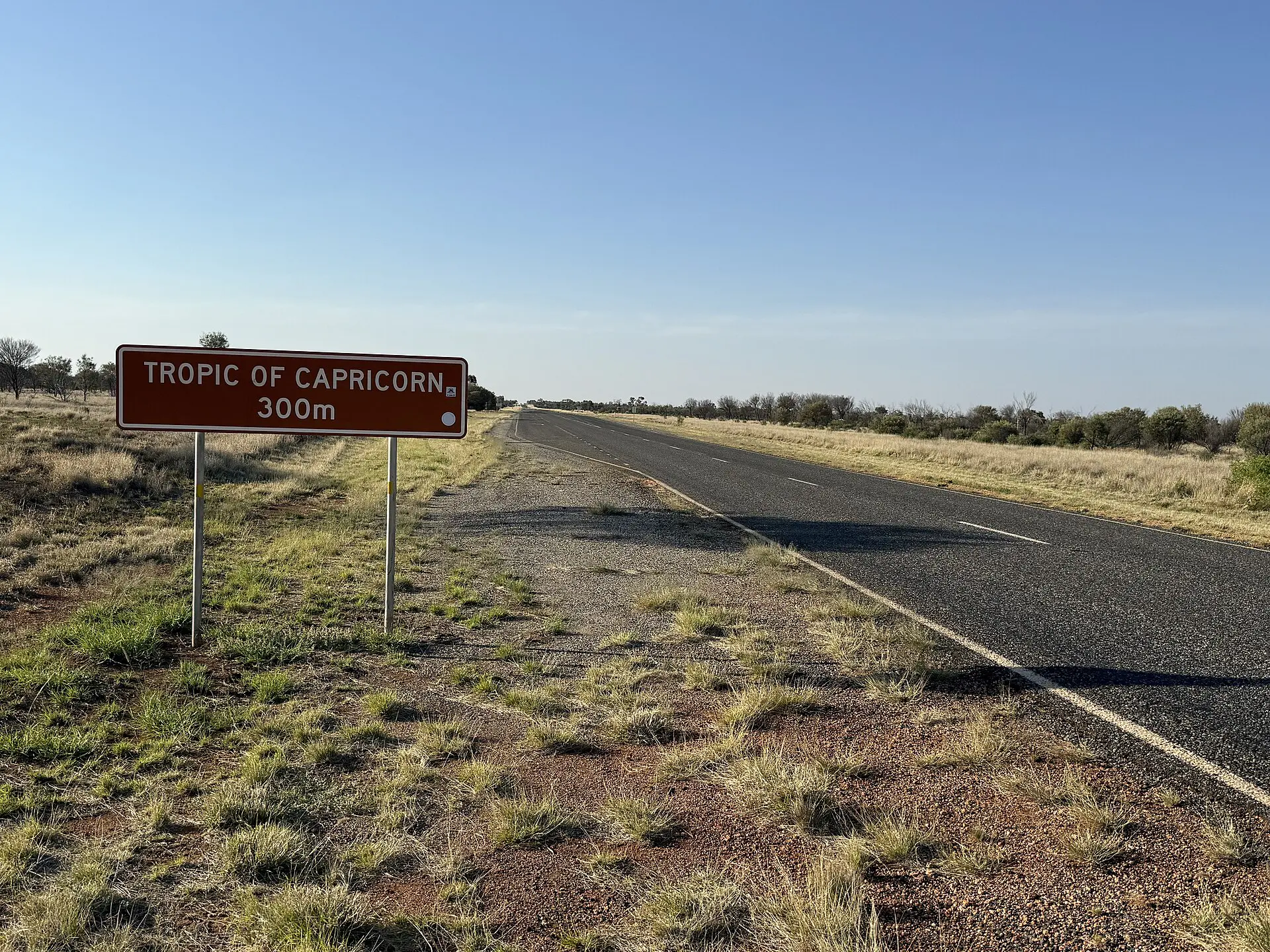
Coverage maps are optimistic. Mountain valleys, national parks, desert highways and island roads often have 50 to 200 km with no signal, and a roaming plan will not change that. Check the carrier’s coverage map for the route, but assume the gaps are larger.

Set up the phone before you leave town. Download offline maps for the whole region at 1 to 3 GB per large area, and keep 5 GB of storage free. Switch on battery saver, lower screen brightness and keep the phone out of direct sun on the dashboard. A 10,000 mAh power bank gives roughly two to three phone charges. Save booking confirmations and addresses as screenshots, so they open without data.
Skip a paid app subscription unless it solves a specific gap on your route. Free offline maps cover most trips, and a paid tier is worth it only for features you will actually use, such as route sync across devices or satellite overlays.
Common mistakes with road trip apps and offline maps
- Downloading maps at the trailhead or the border. Do it on Wi-Fi the night before.
- Relying on one phone. Phones overheat on dashboards and die in the cold. Carry a charger, a cable and a power bank of at least 10,000 mAh.
- Trusting arrival times. Apps assume free traffic. On gravel, mountain or border legs, add 20 to 30 percent.
- Letting a phone auto-update before a trip. A new version can drop an offline area. Update at home and test.
- Roaming charges. Check your data plan or buy a local eSIM before you cross a border.
- Distracted driving. Set the route before you move. Use a mount and voice prompts.
A minimal app set by trip type
- Two-week national park loop in North America: Google Maps offline areas, OsmAnd as a second map, GasBuddy for fuel and the park’s official road report. Total download: about 3 to 5 GB.
- Multi-country European drive: Google Maps or HERE WeGo with each country downloaded, Park4Night for overnight stops and your ferry operator’s own booking page.
- Electric car, 1,500 km: A Better Routeplanner for the plan, PlugShare for status, and a fallback charger every 100 km of the route.
- Remote overland leg of 300 km or more: Organic Maps or OsmAnd, iOverlander, a paper map and a satellite messenger.
What to verify before you rely on your road trip apps
- Offline maps are downloaded for every region on the route, with a buffer of 50 km on either side.
- You tested each app in airplane mode, including search and navigation.
- Prices, station hours and charger status are treated as hints until you reach the station.
- A paper map or printed route with town names exists for the dead-zone legs.
- You have the official road report and emergency numbers saved offline.
- Where there is no cellular coverage for days, you carry a satellite messenger or know your phone’s emergency satellite options.
App features, free tiers and coverage change often. Check the store listing and each publisher’s site before you go.
Where to go next after the best road trip apps
Pair the apps with a route. The road trip ideas guide lists routes with distances and gaps, and the Vancouver to Victoria ferry guide covers a leg where the timetable matters more than the map.
FAQ about the best road trip apps
What is the best app for a road trip with no signal?
Use an offline map you have downloaded in advance. Google Maps, Apple Maps and HERE WeGo offer this, and OsmAnd and Organic Maps are built for offline use. Test the app in airplane mode before you leave, and carry a paper map as a backup.
Do Google Maps offline maps work for navigation?
Yes, for areas you downloaded, including driving directions. Some features, such as live traffic, and in some regions certain route options, are limited offline. Maps may expire if not updated, so refresh them before each trip and check navigation in airplane mode.
How do you find fuel on a long road trip?
Search for stations before you lose signal and note the gaps. In North America, GasBuddy helps, and any map app lists stations. Fill up at half a tank in remote areas, and treat opening hours as uncertain, especially at night and on Sundays.
Which apps help electric vehicles on road trips?
PlugShare shows chargers and user reports, and A Better Routeplanner plans charging stops for your car. Use both, plan stops with a reserve, and keep a fallback of a slower charger or a nearby overnight stop in case a station is out of service.
Should you rely on a phone for a road trip?
Use it as the main tool, but not the only one. Carry a car charger, a power bank, a paper map or printed directions for remote legs, and an official road-report source. Where there is no coverage for days, add a satellite messenger.