This Ushuaia travel guide starts with the decision that costs the most: fly or go overland. Fly. A non-stop flight from Buenos Aires takes about 3.5 hours, while the road is more than 3,000 km and days of travel with border crossings and a ferry. Once there, the plan is simple: one day each for the national park, the Beagle Channel and the mountains, plus a spare for wind.
Getting to Ushuaia: flights, buses and reliability
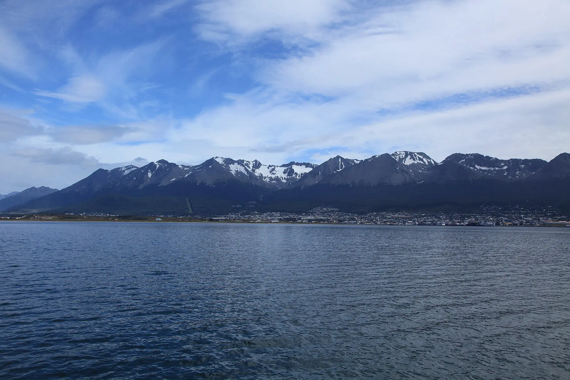
Ushuaia is the largest city on the Argentine side of Tierra del Fuego, about 3,260 km south of Buenos Aires and below 54 degrees south. The airport is about 4 km from the centre and a taxi into town takes around 10 minutes. Several airlines fly from Buenos Aires every day, with fewer links to other Argentine cities. Wind and low cloud cause delays, so keep a buffer before any onward flight.
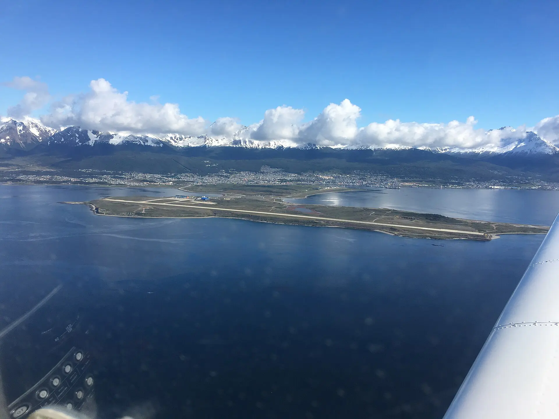
Overland is possible but slow. Buses from continental Argentina reach Río Gallegos, then cross into Chile, take a ferry over the Strait of Magellan and cross back into Argentina. From Punta Arenas in Chile, expect roughly 12 hours by bus. Border and ferry schedules change; check before you book. Cruises also call here, and the port is the main departure point for Antarctic voyages, most between November and March. Fares vary widely; verify with an agency.
Ushuaia transport and terrain table
Distances are rounded and times are for normal conditions. Ushuaia’s only road link is Ruta 3, so everything runs east or west from the city.
| Route | Distance | Time | Terrain | Reliability |
|---|---|---|---|---|
| Airport to centre | 4 km | 10 min | Paved | High; taxis at the terminal |
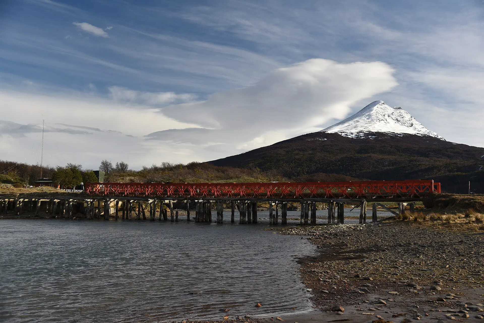
| Tierra del Fuego National Park | about 12 km west | 20 to 30 min | Paved, then good gravel | High; day tour or taxi |
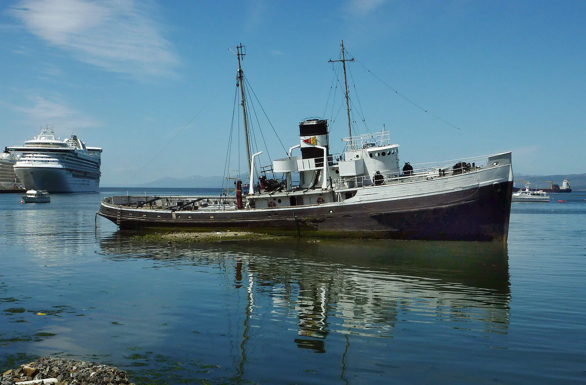
| Beagle Channel boat | harbour departure | 2.5 to 3 h | Open water | Medium; wind can cancel |
| Martial Glacier | about 7 km from centre | 2 to 4 h on foot | Steep path, loose rock | Medium; snow and cloud |
| Lago Fagnano | about 60 to 100 km east | 1 to 1.5 h by road | Paved over a pass | Medium; snow in winter |
| Estancia Harberton | about 85 km east | 2 h or more | Gravel | Lower; depends on road |
Key Ushuaia routes and day plans
1. Tierra del Fuego National Park
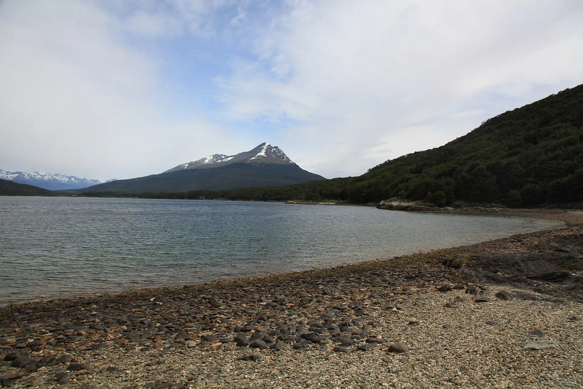
The park is west of town, and the easiest full day. Short coastal trails and forest walks run from 1 km to about 10 km, with the Beagle Channel on one side and beech forest on the other. A heritage train, the End of the World Train, runs to the park edge; check seasonal schedules. Bring a waterproof jacket and food, since services are limited.
2. Beagle Channel boat trip
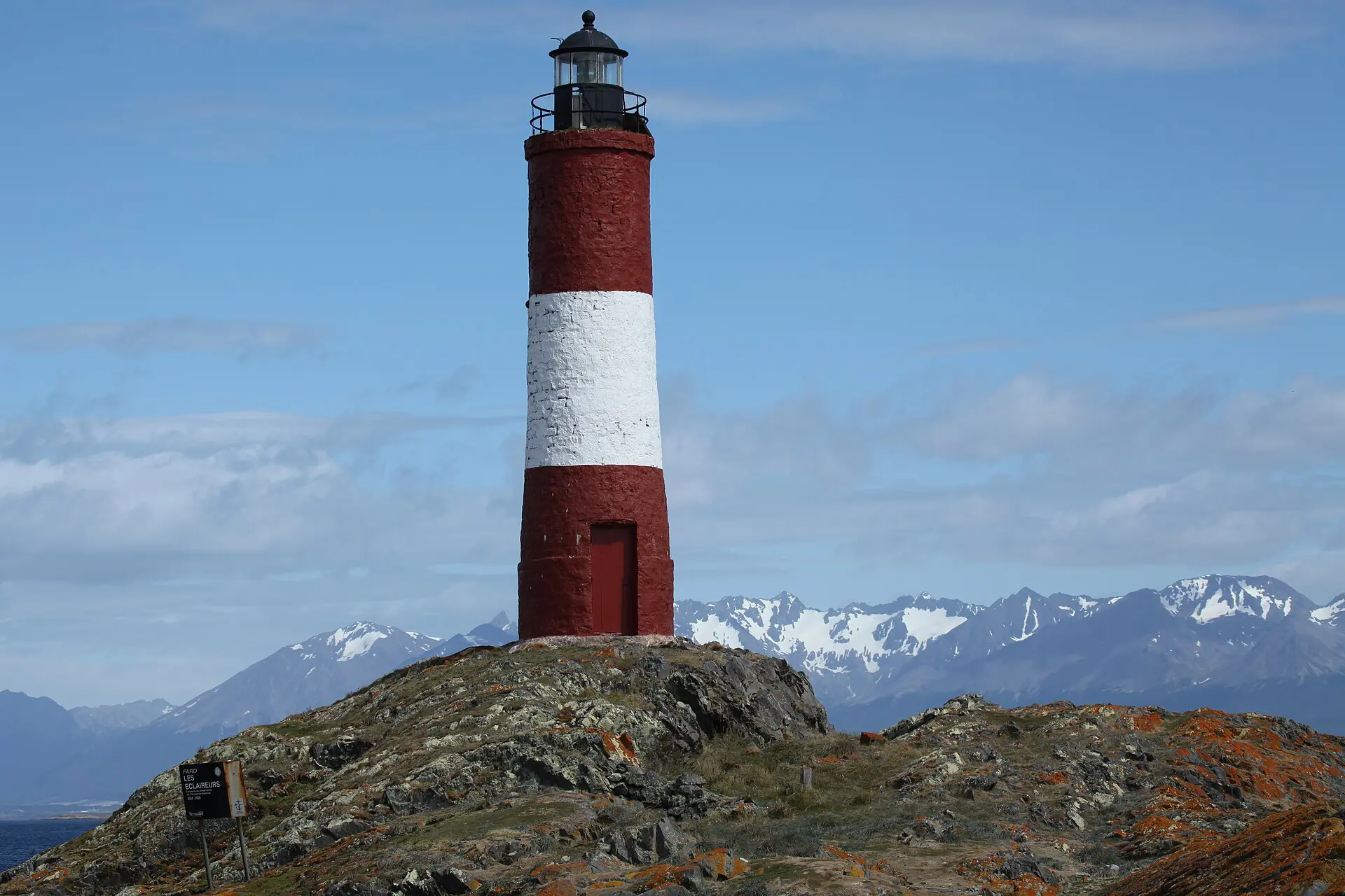
Boats leave from the port and run for around 2.5 to 3 hours to islands with sea lions, birds and a lighthouse. Book the day before and keep it flexible: strong wind can stop departures. If it is cancelled, you simply move it to the next day. Take a windproof layer, as the deck is cold even in summer.
3. Martial Glacier
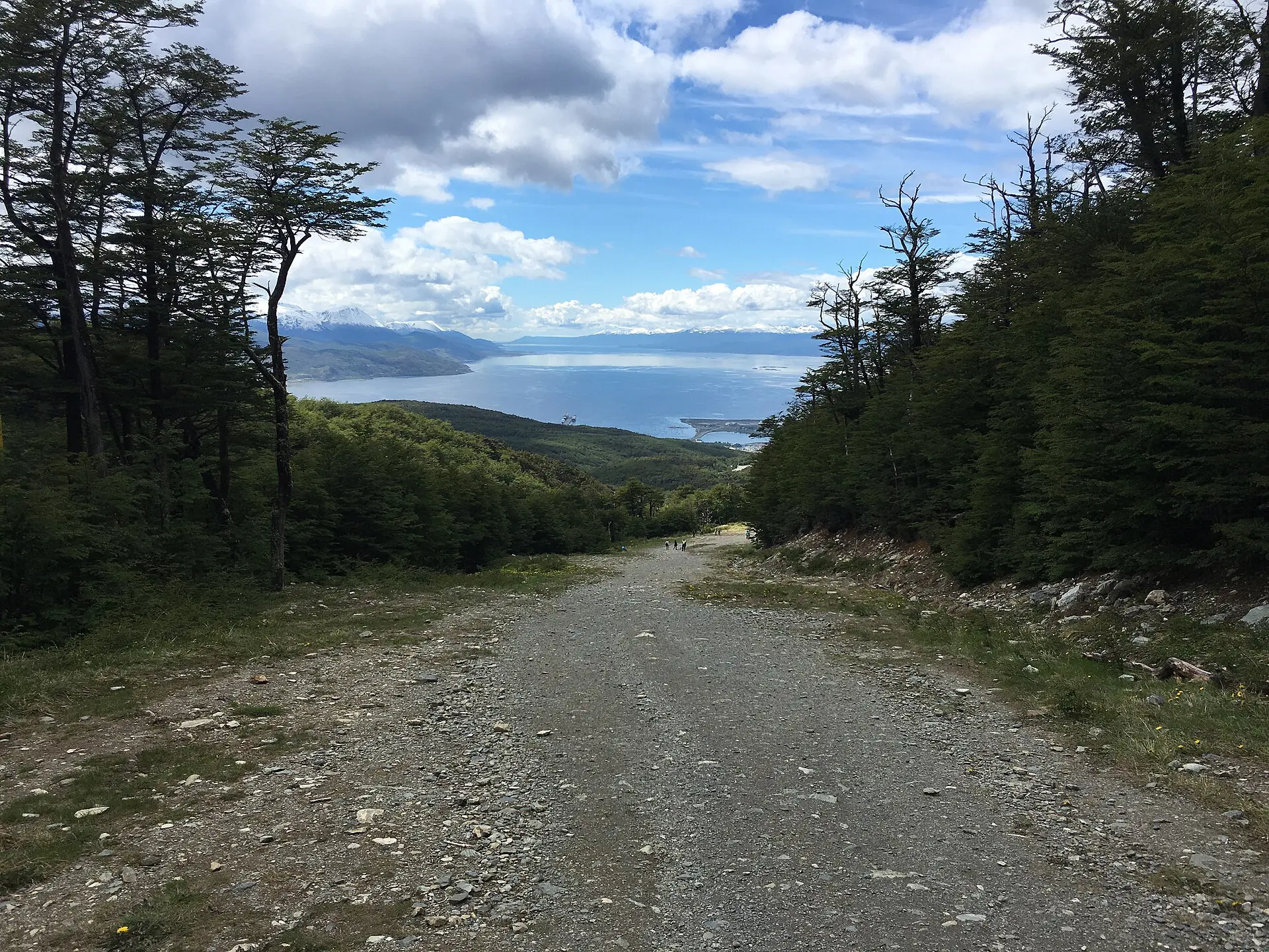
The glacier sits in a cirque above town. A road runs partway, and a path climbs the rest, on loose rock. Expect about 2 to 4 hours on foot. The weather above town can be different from the harbour, so check the clouds. Skip the climb if the path is icy.
4. Laguna Esmeralda
A walk of roughly 8 km return through peat bog and forest to a green lake under a glacier. The ground is wet and muddy, and the trail takes about 4 to 5 hours. Water-resistant boots matter more than speed. It needs a transfer to the trailhead, which is on the road toward Lago Fagnano.
5. Presidio and maritime museum
The old prison, built for repeat offenders in the late 19th century, closed in 1947 and is now a museum. It is the best use of a rain or wind day and takes 1.5 to 3 hours. Opening hours change by season; check before you go.
6. Lago Fagnano and Harberton
Carry food and water for the whole day: the road east has few stops.
Ruta 3 crosses a pass to the long, cold Lago Fagnano, an easy day with a drive on a paved road. Harberton, a historic farm on the coast, is a longer day on gravel. Fuel up in town. Road surfaces and tours vary, so confirm access in advance.
Best time for this Ushuaia travel guide plan: weather and season windows
Ushuaia is warmer than many expect, but unsettled in any month. Summer days are around 13 °C and nights around 6 °C, with sun, cloud and short showers in the same hour. Daylight runs from about 05:00 to 22:00. Winters are clearer, around 3 °C by day and below freezing at night, with snow and sun only from about 09:45 to 17:15. Wind of up to 50 km/h is common and adds chill on the high routes.
- December to February: main season, the longest days, and the most domestic tourists in January. Book rooms early.
- March to April: fewer people and colder nights; good for walking.
- June to October: ski season and short days; some trails and boats limited.
Fallbacks for each Ushuaia plan
- Flight delayed or cancelled: rebook the same day and keep a night in hand before a long-haul connection.
- Boat trip cancelled for wind: shift it to the next day, or do the museum and national park instead.
- Park trails closed or snowed over: take the coastal path, or go by road to Lago Fagnano.
- Martial climb not safe: stay on the lower road and walk in town.
- Harberton road poor: turn back and use the time for Lago Fagnano.
- Only 2 days: park on day one, boat on day two, and nothing else.
Where to sleep in Ushuaia, by type
Location matters more than star rating. Most boats, buses and tour pickups leave from the centre and the port, and a taxi up the hill adds time and cost on windy days.
- Central hostels and guesthouses: near the main street and the port; easiest for early boats and buses.
- Hotels on the Martial road: higher up, with views of the channel; you need a taxi or a shuttle to town.
- Cabins and apartments: outside the centre, useful for a car-based stay or longer trips.
- Near the airport: only for an early flight.
In January, book early, since domestic travellers fill the town. Prices are high, as goods arrive from far away.
Food and water are not an issue in town, but prices are higher than on the mainland. On trail days, carry a litre of water per person for each 2 to 3 hours, plus lunch and a spare layer. Streams are common, but treat the water, and keep your phone in a dry bag. Daylight is long in summer and short in winter, so set a turnaround time before you start.
Skip this if…
- You want a quick stop. The flights and prices are poor value for a night or two.
- You are hoping for guaranteed clear weather. Plan on cloud and wind.
- You want Antarctica on a short notice and a small budget. Voyages are long and costly.
- You expect an empty frontier. It is a busy tourist port.
For the wider trip, see the Argentina travel guide and the Ushuaia location guide. Background reading is on Wikipedia.
FAQ about the Ushuaia travel guide
Where is Ushuaia?
Ushuaia is in Argentine Tierra del Fuego, at the southern tip of South America, on the Beagle Channel. It is about 3,260 km south of Buenos Aires and is commonly called the southernmost city in the world.
How do you get to Ushuaia?
Fly from Buenos Aires in about 3.5 hours, which is the practical choice for almost everyone. Buses and cruises also reach it, but overland takes days with border crossings and a ferry. Check flight availability early, especially in January.
What is the weather like in Ushuaia?
Cool and changeable. Summer highs are around 13 °C and winter highs around 3 °C, with nights below freezing in winter, and wind is frequent. Pack layers, a windproof shell and waterproofs for any month of the year.
How many days do you need in Ushuaia?
Three days covers the national park, a Beagle Channel trip and one mountain or lake day, with no slack at all. Add a fourth day as a buffer for wind, or for a longer excursion such as Harberton.
Can you go to Antarctica from Ushuaia?
Yes. Ushuaia is one of the main gateway ports to the Antarctic Peninsula, with most voyages between November and March. Trips last more than a week and cost thousands of dollars, so verify details with an agency.