This Faroe Islands travel guide is built around one fact: the weather, not the map, sets your itinerary. The archipelago has 18 islands across 113 km by 75 km, joined by tunnels, causeways and public ferries. Most of what you want is reachable by road. The islands that need a boat can cancel it. Fog hides the high ground on many days. Plan one fallback for every day, and keep one day empty. The rest of this Faroe Islands travel guide follows that rule.
Getting to the Faroe Islands
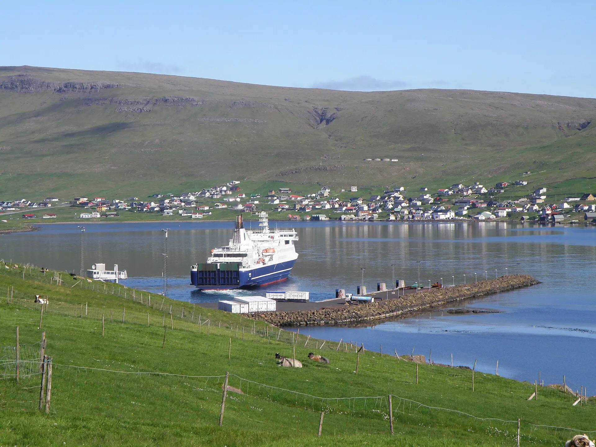
The only airport that most visitors use is on Vágar, the westernmost large island. Flights come from Denmark, Iceland, Norway and some other European cities, and routes change by season, so check the current timetable. A passenger ferry from Denmark has also run in some years. It takes well over a day and is not a time-saver. Treat it as a separate trip, not a transfer.
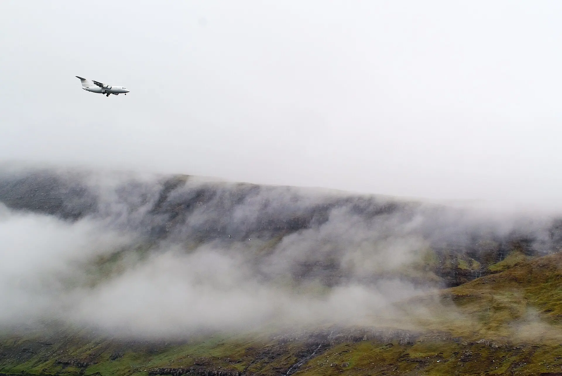
From the airport, you drive or take a bus east through undersea tunnels to Tórshavn, the capital, which has nearly 20,000 residents. Hiring a car is the simplest way to cover the main islands, because villages are small and buses are sparse. Book the car early for July and August, when most visitors come, and confirm that your policy covers gravel and single-track tunnels.
Faroe Islands travel guide: transport and terrain table
The islands are never more than about 5 km from the sea, and the terrain is steep: the highest peak, Slættaratindur, is about 880 m. Roads are narrow but paved. Times below are typical and hedged; check current timetables and conditions.
| Link | Type | Typical time | Reliability |
|---|---|---|---|
| Vágar airport to Tórshavn | Road with undersea tunnel | about 45 min to 1 h | High; fog may slow, not stop |
| Tórshavn to Eysturoy and the north | Road, tunnels and bridges | 30 min to 1.5 h | High |
| Tórshavn to Klaksvík | Road and tunnels | about 1 to 1.5 h | High |
| Tórshavn to Suðuroy | Car ferry | about 2 h | Medium; rough seas cancel |
| Klaksvík to Kalsoy | Small car ferry | about 20 to 30 min | Medium; fixed timetable, wind affects |
| Vágar to Mykines | Small ferry or helicopter | about 30 to 45 min | Low; swell cancels often |
No tunnel or causeway is closed because of fog alone. The ferries and the high trails are where cancellations bite.
Faroe Islands hikes and day plans
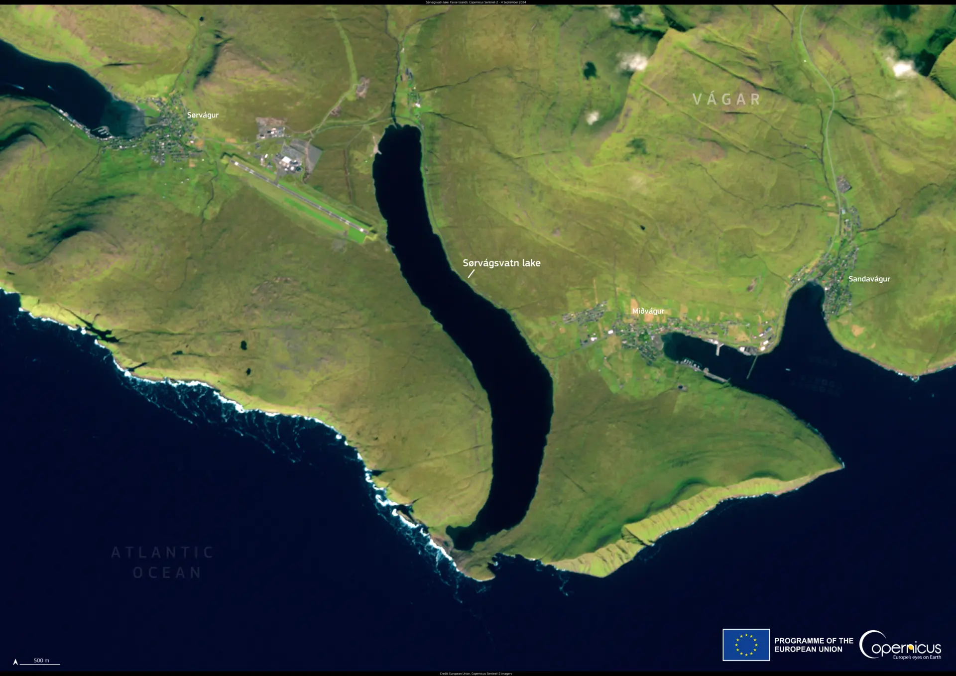
1. Sørvágsvatn and Gásadalur on Vágar
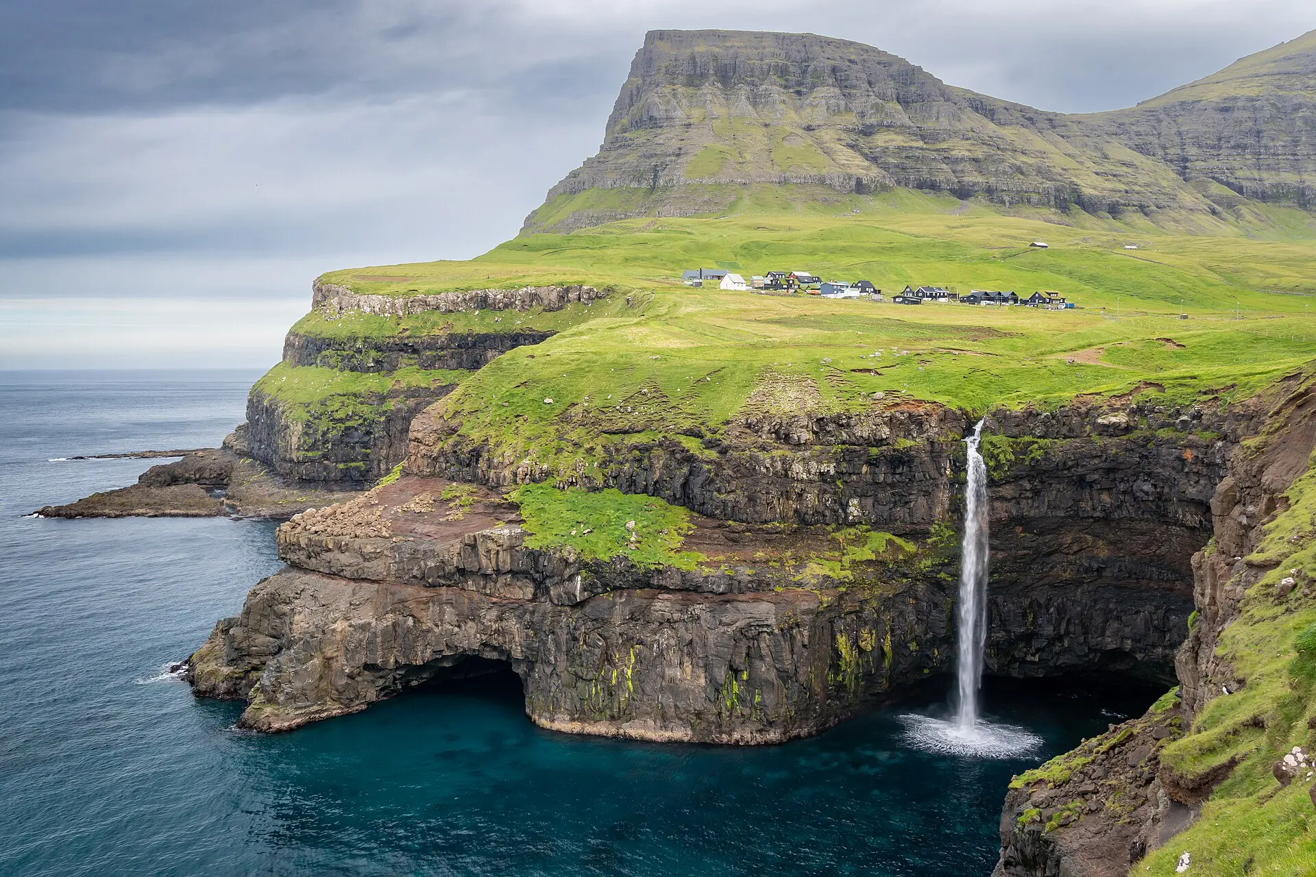
These two sit near the airport, so they suit the arrival and departure days. The lake walk is a few kilometres and mostly easy, with a cliff edge at the far end. Some outfield land is private, so check for fee signs and follow marked paths. Gásadalur, a short drive away, has a waterfall by the village. Fallback: if cloud covers the cliffs, do the village and waterfall only.
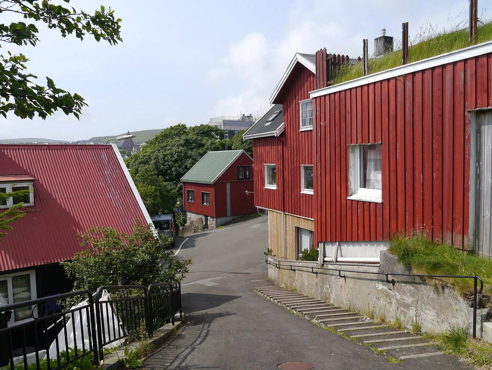
2. Tórshavn and Tinganes
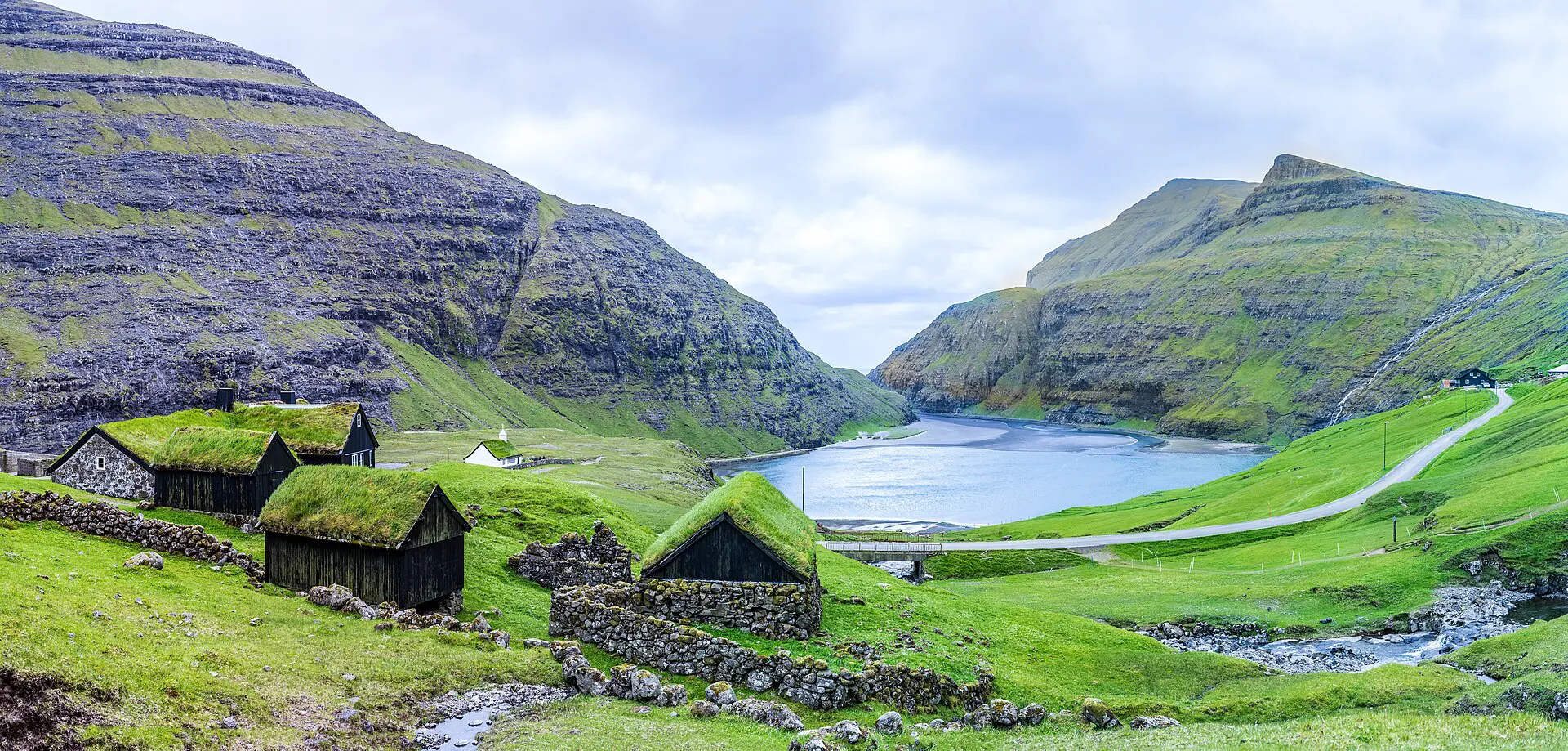
Tinganes is the old part of the capital, a cluster of turf-roofed buildings on a rocky point. It takes under two hours. This is your wet-day plan and your ferry-day plan. The city receives only about 840 hours of sunshine a year, so plan for grey. Fallback: shops, cafés and the small museums fill any hours the weather steals.
3. Vestmanna bird cliffs
The bird cliffs north of Vestmanna rise about half a kilometre. Boat tours run in the warmer months and depend on swell; if the sea is rough, they do not leave. Book a ticket you can change or refund. Fallback: on a cancelled day, drive the coast road toward Saksun and the northern villages.
4. Kalsoy and the Kallur lighthouse walk
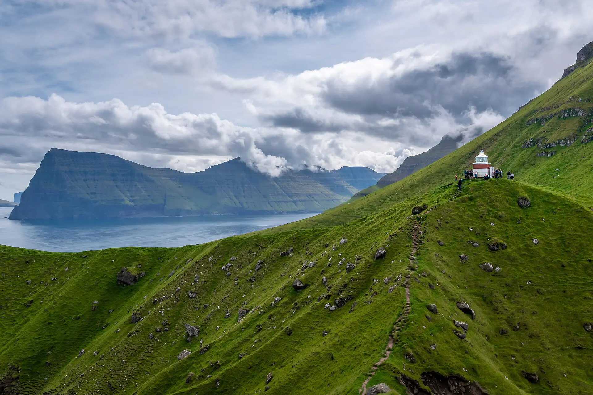
Kalsoy is reached by small ferry from Klaksvík, then by road through narrow tunnels. The walk to the Kallur lighthouse is short, under 10 km return, with a steep drop on one side. Do it only in clear air and dry footing. Fallback: if fog sits down at ferry time, stay in Klaksvík and use the Northern Islands road instead.
5. Mykines and puffin season
Mykines is the western island with puffins, from about May to August. Ferries run on a limited schedule, and weather can cancel them for days. If you must see it, put it first in your trip, leave a buffer, and accept it may fail. Fallback: puffins also nest at other cliffs, and a failed Mykines day can become a Vágar day.
6. Suðuroy day trip
Suðuroy is the southernmost island, with Tvøroyri and Vágur as its towns, and old coal mines at Hvalba. The ferry takes about two hours each way. Book a car space for summer. Overnighting is safer than a day return, because a missed sailing strands you. Fallback: if the ferry is off, drive the main island’s other roads.
Best time to visit the Faroe Islands
Most visitors come between early July and late August. The temperature is mild all year because of the Gulf Stream, with winter averages around 3 to 4 °C and summer highs near 12 °C, but wind and cloud are constant. About 70,000 sheep graze the outfield, so expect gates and fences on many routes.
- May to June: longer days and puffin arrival, with fewer crowds. Some services start late.
- July to August: peak season, with near-continuous daylight and the busiest ferries and rooms.
- September: still workable, with shorter days and more storms.
- October to April: short days and stronger weather. Many hikes become risky, and some ferries run less often.
Apply three rules whatever the month, and one more if you hike alone: tell the guesthouse your route and return time. Do not climb into cloud. Do not cross an exposed ridge in strong wind. Turn back when the village is no longer visible below you.
Fallbacks for each Faroe Islands plan
- Fog down to 300 m or lower: switch from a summit to a village, museum or coastal road.
- Ferry cancelled: check the operator’s day-of notice in the morning, and move the boat day to your spare day.
- Strong wind: avoid ridge routes and cliff edges. Drive to a sheltered fjord instead.
- Helicopter or Mykines ferry off: accept it. Do not rebook your flight home around it.
- Tight departure: sleep near the airport the night before a flight out.
Where to sleep in the Faroe Islands
Tórshavn has the most hotels, hostels and apartments, and is the best base for three or four days with a car. Villages offer guesthouses and holiday homes, which suit people who want to stay near trailheads. Campsites exist, but wild camping rules are restricted, so check the local rules and ask landowners. Book early for July and August. Rooms near the airport are worth a night at the end.
Skip the Faroe Islands if
- You need guaranteed views on a fixed day. Cloud often wins.
- You plan to hike alone in fog without navigation. Cliffs are unfenced.
- You have only one or two days and want several islands. Weather and ferries will take the slack.
- You want a cheap trip. Costs are high, and I would not plan on a bargain.
FAQ about Faroe Islands travel guide
How many days do you need in the Faroe Islands?
Four to five days is a practical minimum for the main islands with a car, plus one spare day for weather. A long weekend covers Vágar, Tórshavn and part of Eysturoy. A week allows Kalsoy and a ferry to Suðuroy.
Do you need a car in the Faroe Islands?
A car is the simplest option, because villages are small and bus service is limited. Tunnels link the main islands, and the roads are paved but narrow. Buses and taxis can cover Tórshavn and a few routes. Book a rental early in summer.
Do ferries in the Faroe Islands get cancelled?
Yes, and any Faroe Islands travel guide should say so, especially for small boats to Mykines, and sometimes the longer Suðuroy route in heavy swell. Tunnels are not affected by fog. Check notices on the morning of travel, avoid fixed plans after a ferry leg, and keep one buffer day.
When is the best time to visit the Faroe Islands?
Most visitors come between early July and late August, when days are longest. May and June suit puffin season with fewer crowds. Winter has short days and harsher weather. Wind and fog are present all year, so plan for them rather than against them.
Is it safe to hike in the Faroe Islands?
Yes, if you respect the terrain. Cliff edges are often unfenced, fog can arrive quickly and wind can be strong. Carry a map or offline navigation, a waterproof layer and water. Turn back in low cloud. Follow signs and fee notices on private land.
For background, see the Faroe Islands article on Wikipedia and the Faroe Islands guide on Wikivoyage.