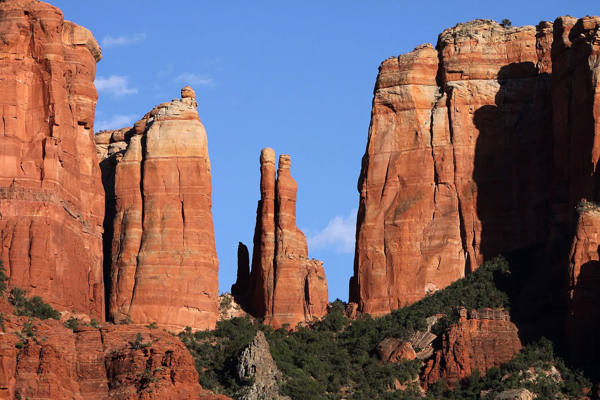
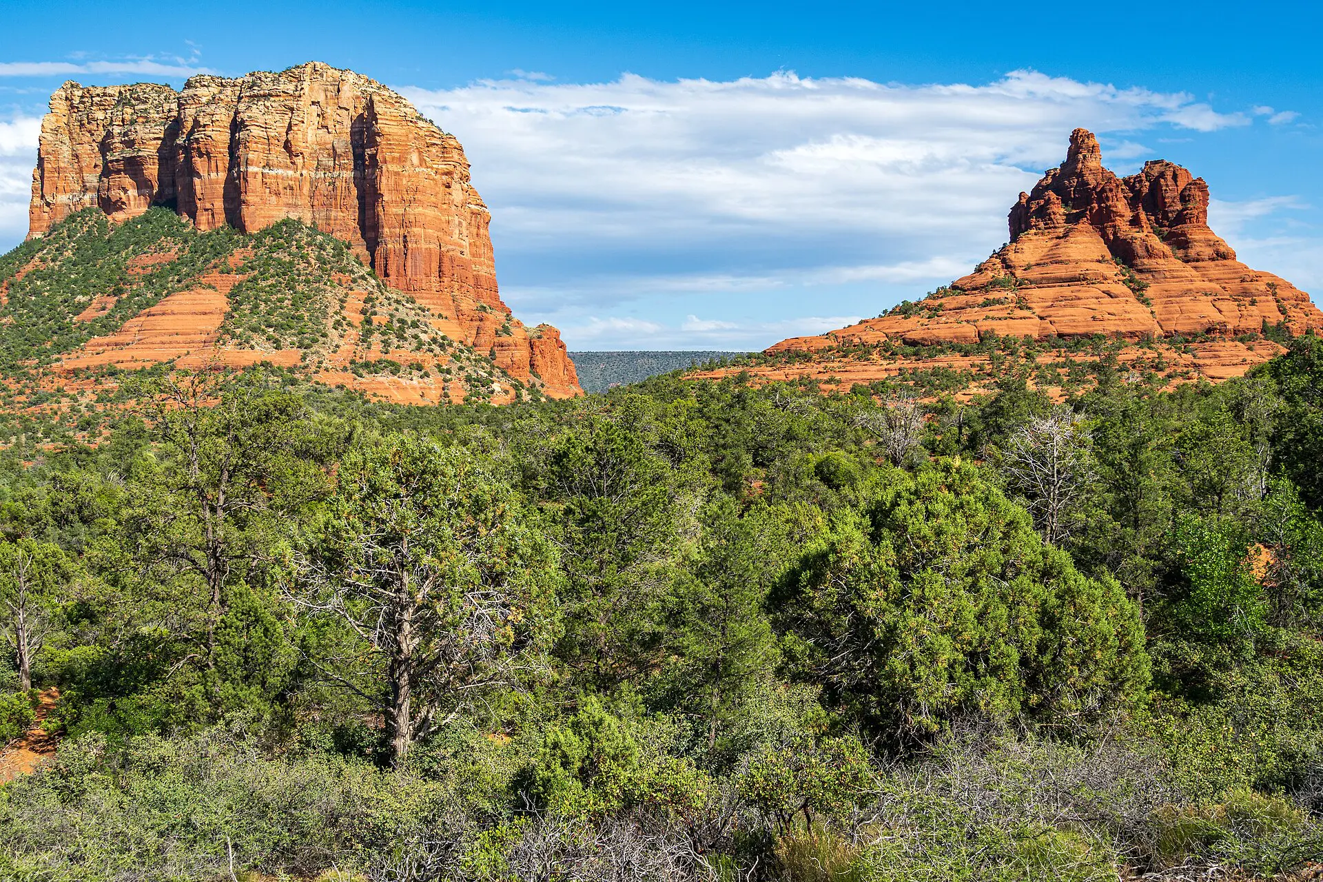
The best hikes in Sedona for most people are Cathedral Rock (about 2 km return, steep), Devil’s Bridge (about 6 to 7 km return), Bell Rock (an easy loop of 6 to 7 km) and West Fork of Oak Creek (flat, shaded, wet feet). The limit is rarely fitness. It is parking and heat. Trailhead lots fill by mid-morning, and summer afternoons pass 35 degrees Celsius on bare rock. Start at first light and carry more water than seems sensible.
Getting to Sedona and the trailheads
Sedona is in Arizona, along State Route 89A, about 190 km north of Phoenix and about 48 km south of Flagstaff. There are no scheduled jet flights into Sedona Airport, so the realistic gateway is Phoenix Sky Harbor, then 2 to 2.5 hours by road. You need a car for most trailheads. The United States travel guide covers entry rules and car hire basics.
Most trails sit in Coconino National Forest. Many trailhead lots require a Red Rock Pass or an America the Beautiful pass, displayed on the dashboard. Check the current price and where it is sold with the Forest Service. Several popular lots are tiny, and some have been served by a seasonal shuttle or managed parking in recent years. Verify the current system before driving out. A full lot means turn around, not park on the verge: roadside parking is ticketed and towed.
Sedona hiking routes: distance, time and difficulty
Figures are approximate and for the usual out-and-back route. Trail conditions, closures and parking rules change, so confirm with the Forest Service or the visitor centre.
| Route | Distance (return) | Time | Difficulty | Reliability notes |
|---|---|---|---|---|
| Cathedral Rock | About 2 km, 250 m climb | 1.5 to 2.5 hours | Hard (scramble) | Tiny lot, fills early; slick when wet |
| Devil’s Bridge | About 6 to 7 km | 2 to 3 hours | Moderate | Unpaved access road; queue at the arch |
| Bell Rock and Courthouse Butte loop | About 6 to 7 km | 2 to 3 hours | Easy to moderate | Larger parking; little shade |
| West Fork of Oak Creek | 5 to 10 km | 2 to 4 hours | Easy to moderate | Fee site, fills early; water crossings; flash-flood risk |
| Boynton Canyon | About 10 km | 3 to 4 hours | Moderate | Small lot; good in heat for its shade |
| Doe Mountain | About 3 km, steep | 1.5 to 2 hours | Moderate | Short but exposed; check access and fees |
| Soldier Pass | About 6 km | 2 to 3 hours | Moderate | Very limited parking; check the shuttle or reservation rules |
The best hikes in Sedona, one by one
1. Cathedral Rock
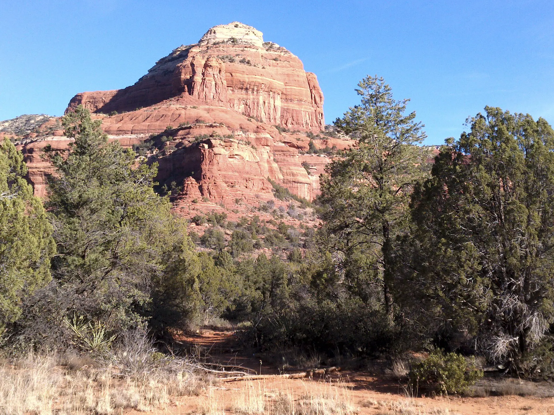
This is a short route up a steep sandstone slope between two towers, with hand-over-hand scrambling near the top. Allow 1.5 to 2.5 hours and bring at least 1.5 litres of water, though it is only 2 km. Skip the upper section if the rock is wet or you dislike heights. The saddle view is the goal; the final scramble is optional.
2. Devil’s Bridge
The largest natural sandstone arch in the area. The standard approach is on foot from the Dry Creek Road lot, around 6 to 7 km return with about 150 m of climbing. A rough road shortens the walk but needs high clearance and is not suited to an ordinary hire car. The arch has no guard rail, and the queue for the photo can be long. Walk across only on dry rock.
3. Bell Rock and Courthouse Butte loop
An easy loop on a wide path around two buttes, about 6 to 7 km depending on the variation. It is the best choice for a first day, a recovery day or a mixed group. There is almost no shade, so go early in summer. Climbing Bell Rock itself is an unmarked scramble; skip it if you are not comfortable on slopes.
4. West Fork of Oak Creek
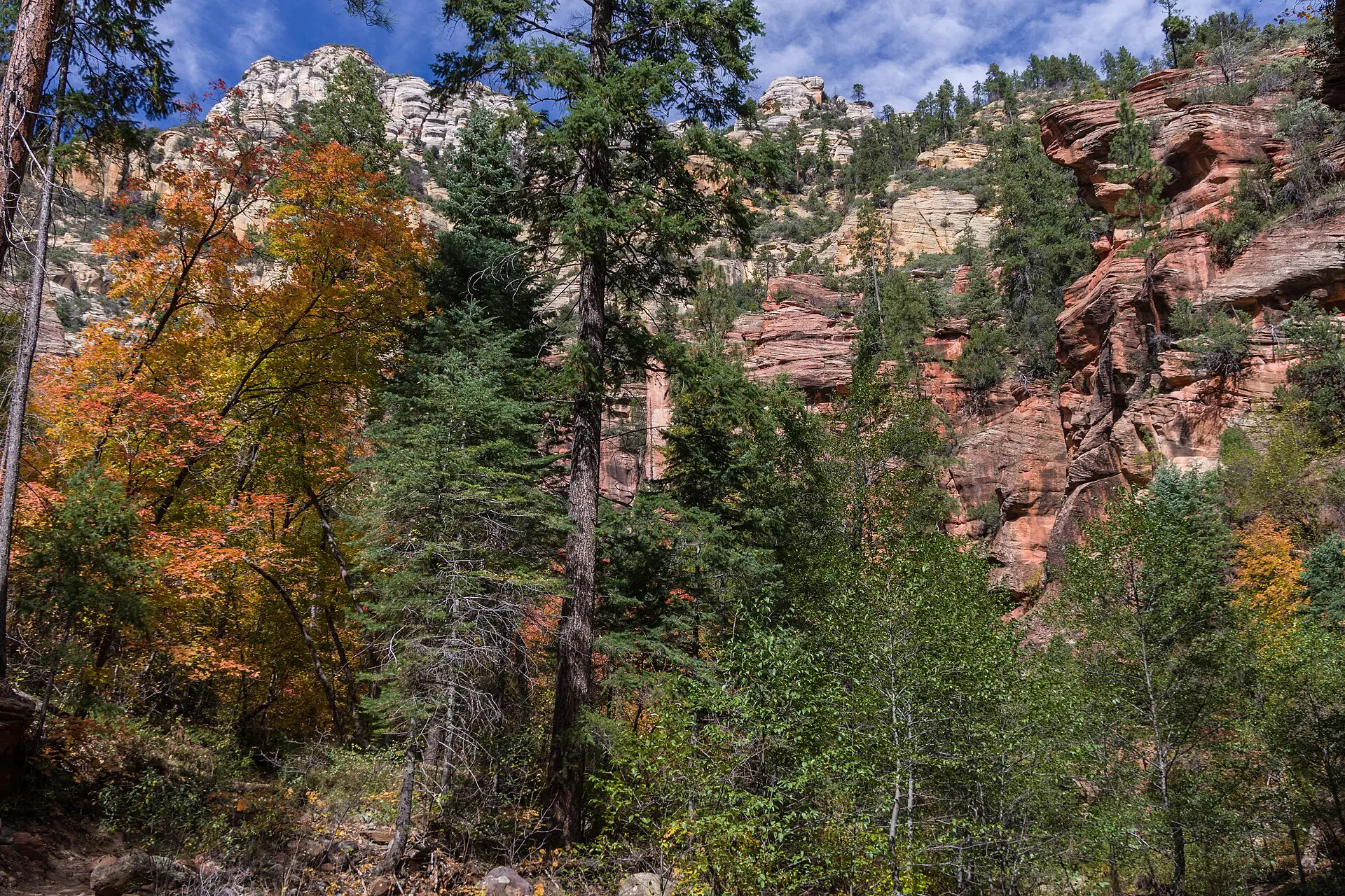
The trail follows a stream through a narrow canyon in Oak Creek Canyon, north of town. It is flat, shaded and cool, which makes it the best hot-day option. You cross the stream repeatedly, so wear shoes that can get wet. Do not enter during or after storms: flash floods are a real hazard in the summer monsoon, roughly July to September.
5. Boynton Canyon
A canyon trail of around 10 km return, gaining about 150 m, with more tree cover than the buttes. The scenery is good rather than dramatic, and the crowd is thinner than at Cathedral Rock. The lot is small, so arrive at sunrise. Water: 2 litres in cool months, 3 litres from May to September.
6. Doe Mountain
A short, steep climb to a flat mesa top with views across the valleys, about 3 km return. It suits a morning when you have only 2 hours. Switchbacks are exposed from the start. Check whether a trailhead fee or access rule applies, since management has changed in recent years.
7. Soldier Pass
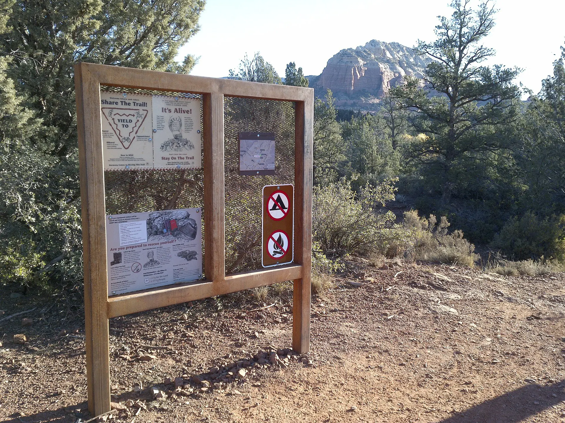
This route passes a large sinkhole and a series of rock pools, about 6 km return. It is popular, and the trailhead lot is very small, so parking has been the main obstacle. Look up the current shuttle or reservation system before you plan the day around it. Water in the pools is seasonal and should never be counted on for drinking.
Best time to hike in Sedona
- March to May: the most reliable window. Mornings are cool, afternoons are warm and trails are busiest.
- June to August: daytime highs often exceed 35 degrees Celsius. Hike between sunrise and 9 a.m. only, and carry 1 litre per person for every hour. The July to September monsoon brings afternoon storms and flash-flood risk in canyons.
- September to November: clear, dry and mild. A good second choice, with shorter days.
- December to February: cold nights and occasional snow or ice on north-facing slopes. Trails are quieter but can be slippery.
There are no reliable water sources on the trail. Carry everything, and food too: a small salty snack stops cramps better than plain water in heat.
Fallbacks if the lot, trail or weather fails
- Lot full: pick the next route from the table that has a larger lot. Bell Rock is the usual backup.
- Heat warning: switch to West Fork or Boynton Canyon for shade, and shorten the day to the first three hours.
- Storms or flash-flood risk: stay out of canyons and washes. Use a ridge route such as Doe Mountain, and leave if thunder starts.
- Trail closed: closures for fire or flood damage happen. Ask at the Sedona visitor centre, where a ranger can name an open alternative.
Skip this if…
Skip Cathedral Rock and Devil’s Bridge if you only want a quiet walk; both are crowded and photo-driven. Skip the scrambles if you dislike exposure or have a bad knee. Skip a midday hike from June to August entirely, because rock holds heat and shade is scarce. If you have only half a day, I would choose Bell Rock for a low-risk start, or Boynton Canyon for shade. Do not hike alone without telling someone your route, as mobile signal is patchy in canyons.
For background reading, see the Sedona guide on Wikivoyage.
FAQ about the best hikes in Sedona
What is the easiest hike in Sedona?
The Bell Rock and Courthouse Butte loop is the standard easy choice, with a wide path and little elevation change. West Fork of Oak Creek is also easy underfoot if the water is low. Both suit families and beginners, though neither is short once you add the heat.
Do you need a pass to hike in Sedona?
Many trailheads in Coconino National Forest require a Red Rock Pass or an America the Beautiful pass on the dashboard. Rules vary by lot, and some sites have separate fees or reservations. Check the Forest Service or the visitor centre for the current system and prices before you go.
How much water should you carry in Sedona?
Plan for about 1 litre per person for each hour in warm weather, and at least 2 litres even on short routes. From May to September, carry 3 litres for a half-day hike. There is no reliable drinking water on the trails, so fill up in town.
Is Cathedral Rock hard?
It is short at about 2 km return, but steep, with a hands-on scramble near the top. Most reasonably fit walkers manage it in 1.5 to 2.5 hours. Skip it if the rock is wet, if you dislike exposure or if the lot is already full, which is common after 9 a.m.
What is the best time of day to hike in Sedona?
Sunrise to mid-morning is best all year. You get cooler air, softer light and a free parking space. In summer it is the only safe window on exposed routes. Late-afternoon hikes work in autumn and spring, but plan to finish before dark.