The best North Cascades National Park hikes are Cascade Pass, Maple Pass Loop and Blue Lake, but the road decides which you can reach. State Route 20, the North Cascades Highway, closes for months each winter, and snow stays on the high trails into July. Plan for the second half of July to September, check the road status the day before, and keep a low-elevation fallback. Distances, drive times and fallbacks follow.
Getting to North Cascades National Park: SR 20 and access
The park is in northern Washington, about 190 km northeast of Seattle. From Seattle, Newhalem is roughly 2.5 to 3 hours by road, and the highway then climbs east over Rainy Pass and Washington Pass toward Winthrop and the Methow Valley. The park has no through-roads other than SR 20, and the main facilities are small: Newhalem, Diablo and Colonial Creek on the west side, with Marblemount as the last real supply stop.
SR 20 closes in winter. The closure usually runs from late autumn to spring, but dates change every year with snow and avalanche risk, and it can shut early or reopen late. Check the Washington State Department of Transportation road page before you leave Seattle. Mobile coverage is poor along the corridor, so download maps first. Wilderness camping needs a permit; as of 2026, check the National Park Service pages for rules and quotas.
North Cascades hiking routes: terrain and drive-time table
Figures are rounded and for round trips. Drive times are from Newhalem unless noted. Several of the best trails are in the adjoining national forest and not in the park itself; the road is the same.
| Route | Distance | Time | Difficulty | Reliability notes |
|---|---|---|---|---|
| Cascade Pass | about 12 km, 550 m up | 5 to 6 h | Moderate | Long, rough access road; no SR 20 pass needed |
| Maple Pass Loop | about 11 km, 650 m up | 4 to 5 h | Moderate | Snow to late June; needs SR 20 open (about 1 h) |
| Blue Lake | about 7 km, 330 m up | 3 h | Moderate | Needs SR 20 open (about 1 h); early snow |
| Hidden Lake Lookout | about 13 km, 1,000 m up | 6 to 8 h | Hard | Snow late; access road rough |
| Thunder Knob | about 5 km | 1.5 to 2 h | Easy | Low elevation; usable earlier and later |
| Diablo Lake Overlook | roadside | 15 min | Easy | West of the winter closure gate; usually reachable when the pass is shut |
| Washington Pass Overlook | about 1 km | 30 min | Easy | Highest point on SR 20; first to close |
Best North Cascades National Park hikes, with water and trail notes
The Stehekin valley at the south end is reachable only by boat, floatplane or a long walk from Lake Chelan, so treat it as a separate trip, not a detour.
Water is easy in these mountains: streams are frequent. Treat it anyway. Weather is the harder part. Rain can arrive in any month on the west side, and the east side is drier and warmer. Carry a waterproof shell, insulation and food for an extra hour, even on a day walk.
1. Cascade Pass
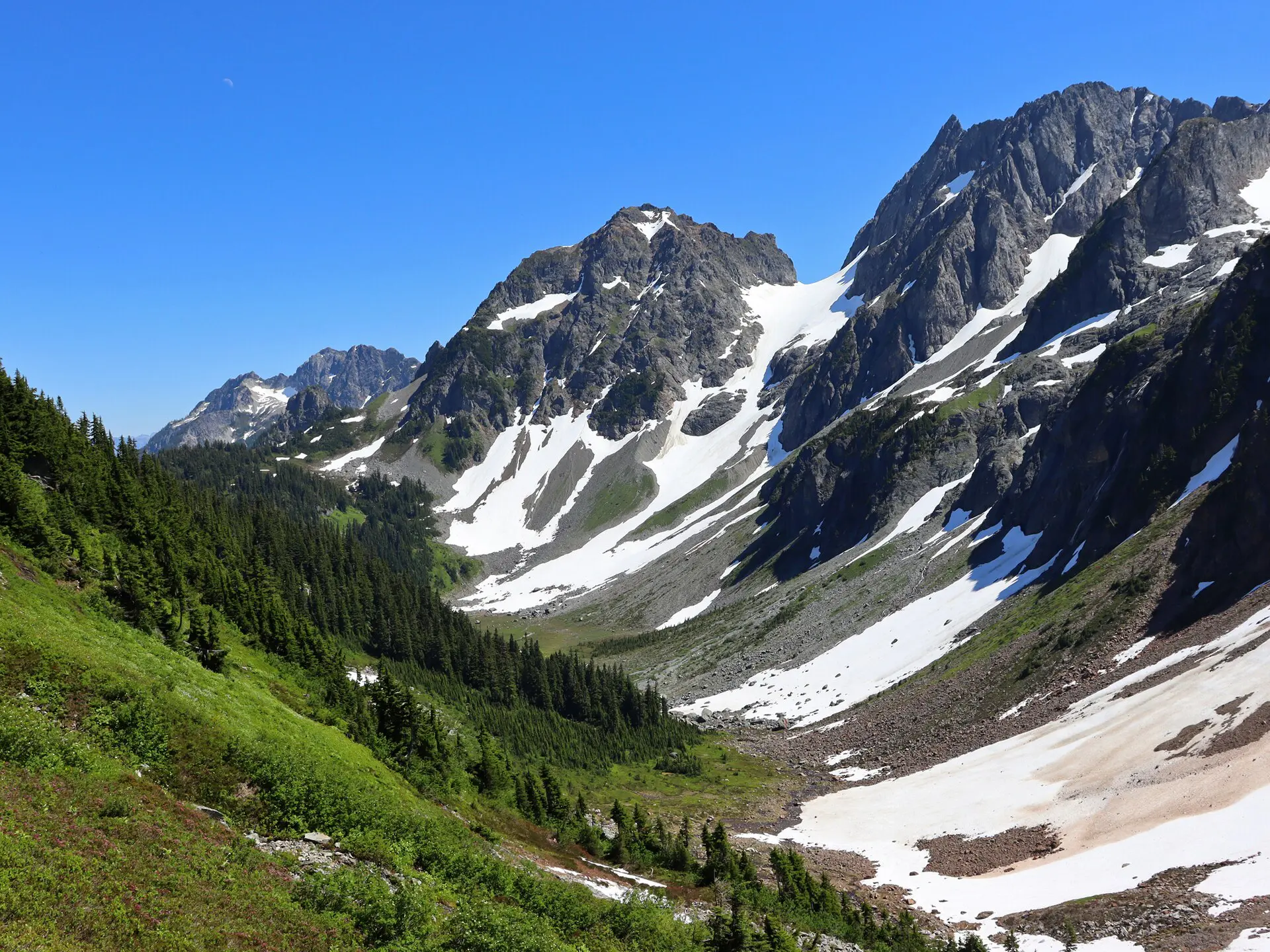
The classic route climbs in switchbacks to a pass between two valleys. It is about 12 km return with roughly 550 m of gain, and the trailhead is at the end of a long gravel road off the Skagit valley. Snow can cover the upper switchbacks into July. Start early; the car park is small.
2. Maple Pass Loop
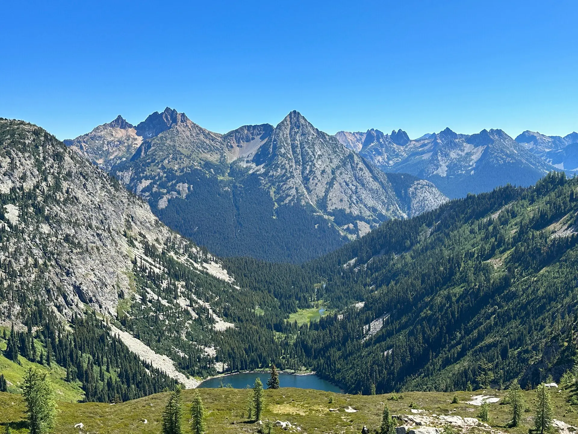
The loop is about 11 km and circles a basin above Rainy Pass. It is one of the better high-country walks on SR 20 and takes 4 to 5 hours. Do it counterclockwise if you prefer the steeper part on the way up. It is exposed to wind, so bring a warm layer even on clear days.
3. Blue Lake
A shorter alternative of about 7 km return, with a moderate climb through forest to a lake under steep peaks. Good for a half day, and often a fallback when Maple Pass is snowed in. Mosquitoes are a nuisance in July.
4. Hidden Lake Lookout
A hard day of about 13 km and 1,000 m of gain, ending at a lookout above a basin. The road is rough and the last stretch of trail can hold snow into July. Take 2 litres to the first stream crossings and a headlamp.
5. Thunder Knob
An easy 5 km walk that stays low and gives a view over Diablo Lake. Late in the season, when higher trails close, this is the one still usable. It suits arrival evenings or a tired day.
6. Diablo Lake Overlook
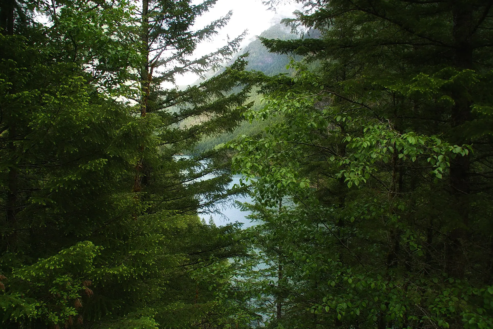
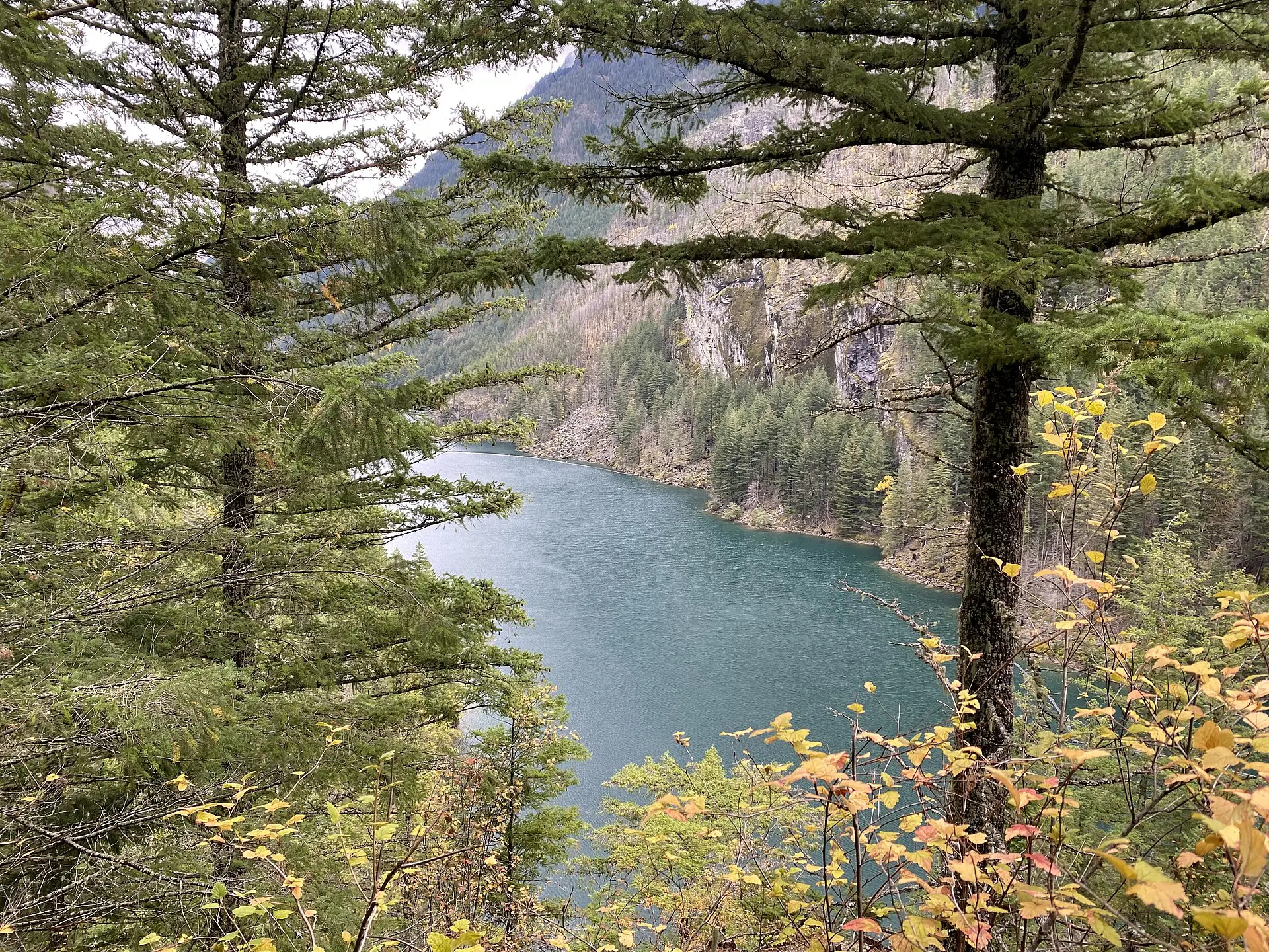
A roadside stop above the lake, which is a colour of milky turquoise from glacial silt. It needs no walking and little time. Skip it in smoke or low cloud: there is nothing to see.
7. Washington Pass Overlook
A short paved path leads to a viewpoint over the pass and the jagged peaks beside it. At the top of the highway, it is among the first spots to close in autumn. It makes a sensible end to a drive-through day.
Bears live throughout the park. Carry food in a sealed container or hang it at camp, make noise on blind corners, and keep dogs out: pets are not allowed on most park trails. Cell signal is absent on every route above, so tell someone your turnaround time before you leave and stick to it. Daylight is long in July but short by late September.
Best time for North Cascades hikes: season windows
- Late June to mid-July: SR 20 is usually open, but snow still covers high routes. Low-elevation trails and overlooks work.
- Mid-July to mid-September: the main window. Most high trails are clear, and days are long. Busiest on weekends.
- September to early October: colder and often clear, with larch and berries turning colour on the east side. Snow can close the pass at short notice.
- November to May: SR 20 closed in the winter section. Only the low west-side trails and Newhalem stay open.
Late summer wildfire smoke is a real risk. It can hide the view for days and affect breathing. Check air-quality forecasts, and have a plan for a day off the trail.
Fallbacks if SR 20 or a trail is closed
- SR 20 shut at Rainy or Washington Pass: stay west of the closure. Do Thunder Knob, the Diablo overlook and walks along the river near Newhalem.
- You need to reach the Methow side: drive around via US 2 over Stevens Pass; allow an extra 2 to 3 hours.
- Snow blocks Maple Pass: drop to Blue Lake, or choose Thunder Knob.
- Smoke or heavy rain: postpone the high routes, drive the highway to the overlooks, and use the day for rest.
- Short on time: from Seattle, one day gets you Diablo Lake Overlook and Thunder Knob. Two days add Cascade Pass.
Skip this if…
- You are visiting between November and May and need the highway. It is closed in the winter stretch.
- You cannot manage a 12 km day with 550 m of climbing. The famous trails are all long.
- You only have an afternoon from Seattle. Driving time will take most of it.
- You will be disappointed by cloud. This is one of the wetter parts of the Cascades.
For the rest of the trip, see the United States travel guide. Background on the park is on Wikipedia and Wikivoyage.
FAQ about North Cascades National Park hikes
What are the best hikes in North Cascades National Park?
Cascade Pass is the best-known route, at about 12 km return. Maple Pass Loop and Blue Lake are better when you want a shorter day off SR 20. Thunder Knob is the easy option for tired legs or bad weather.
When does the North Cascades Highway open?
Usually in late spring, but there is no fixed date. It depends on avalanche clearing and snow. Check the Washington State Department of Transportation page the day before you drive, and plan a lower fallback.
How many days do you need for North Cascades hikes?
Two days is a workable minimum from Seattle: one for the highway and low trails, one for Cascade Pass or Maple Pass. Three days gives you spare time for weather and a longer route.
Do you need a permit to hike in North Cascades National Park?
Day hikes generally do not need a permit, but overnight camping in the backcountry does. Some trailheads may need a parking pass. Rules and quotas change, so check the National Park Service page before you go.
Is North Cascades worth visiting if you only have one day?
Yes, if the highway is open and you start early. Drive to the Diablo Lake Overlook, walk Thunder Knob and stop at Washington Pass on the way back. You will see the area, but not the high trails.