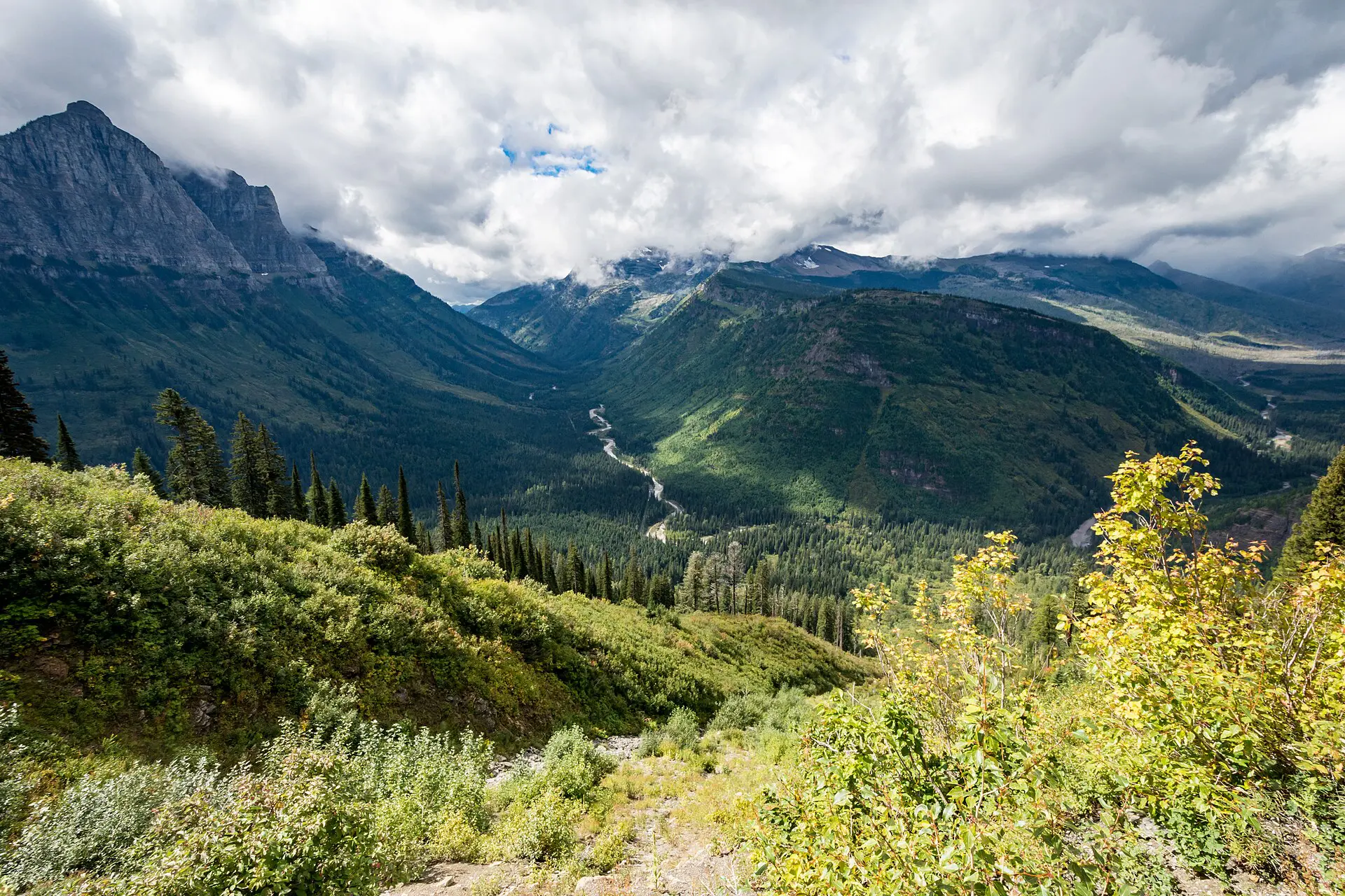
Bozeman to Glacier National Park is about 600 km and 6.5 to 7.5 hours by road, so plan a full driving day, not a quick trip. Two routes work: west through Missoula to West Glacier, or north through Great Falls to the east side. Going-to-the-Sun Road is closed to vehicles for much of the year; its dates decide which route makes sense.
Getting from Bozeman to Glacier National Park
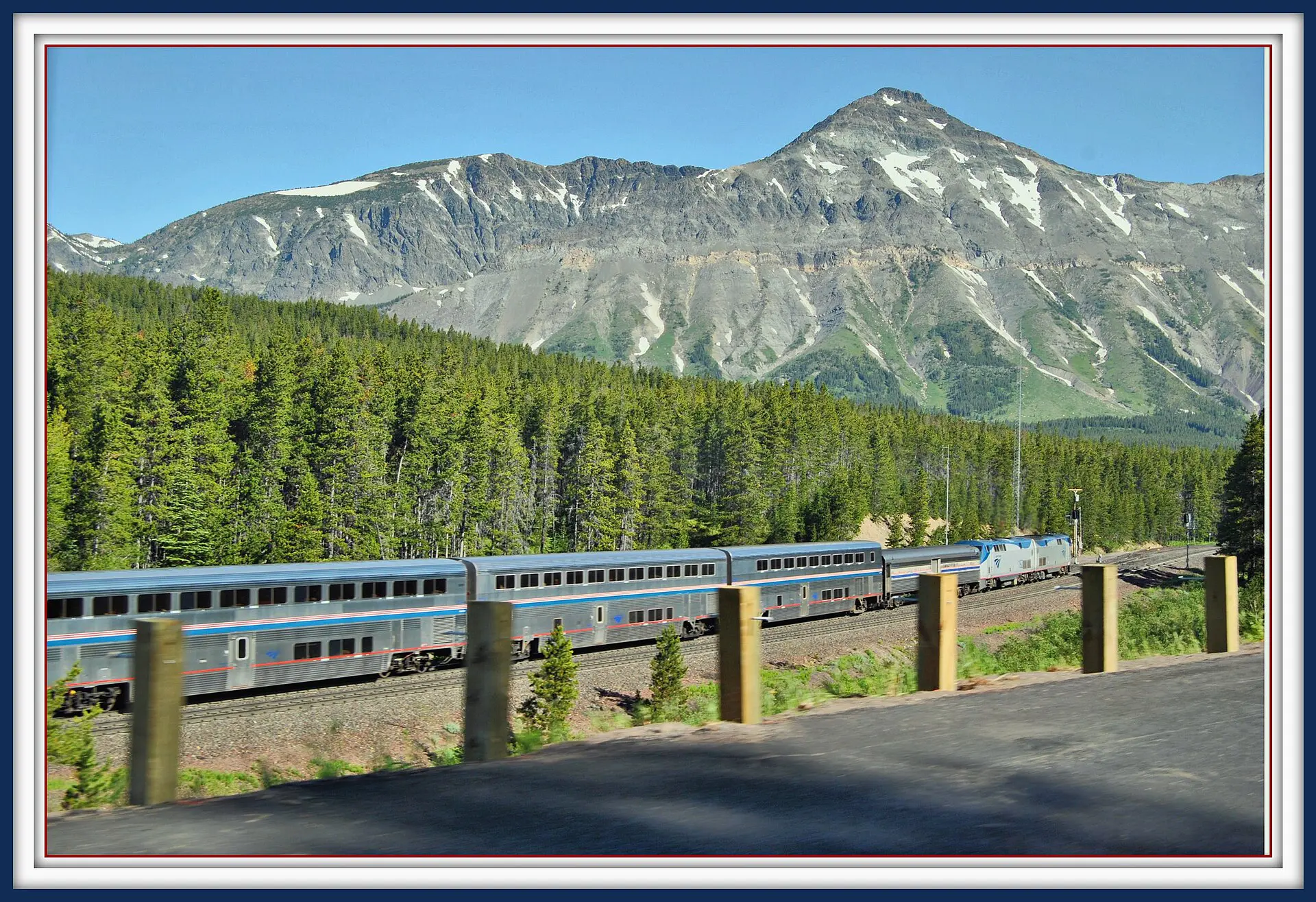
There is no direct public transport that makes this journey simple. Driving is the default. Bozeman has its own airport, but flights from there to Kalispell, the nearest commercial airport to the park, usually connect through a larger hub and can cost more than a tank of fuel and a night in a motel. Amtrak’s Empire Builder stops at West Glacier and East Glacier Park, but it does not serve Bozeman, so rail needs a separate leg to reach the line. Check current schedules and fares.
By car, the west route follows the interstate to Missoula, then north on US-93 past Flathead Lake to Kalispell, and east on US-2 to West Glacier. The east route runs north to Great Falls, then along US-89 toward St. Mary and Many Glacier. Both are long. Fuel up in towns, because services thin out on the last stretches.
Routes and road status: the transport table
Distances and times are approximate in dry summer conditions. Winter and storm days add hours.
| Route | Distance | Time | Reliability | Main risk |
|---|---|---|---|---|
| Bozeman to West Glacier via Missoula and Kalispell | about 620 km | 6.5 to 7.5 h | Good in summer | Passes and snow in winter; roadworks in summer |
| Bozeman to St. Mary via Great Falls | about 600 km | 6.5 to 7.5 h | Good in summer | Wind and snow on the plains; long gaps without services |
| Bozeman to Kalispell airport, then rental car to West Glacier | flight, then about 50 km | 3 to 6 h door to door | Moderate; connections can fail | Cost, a hub connection, weather delays |
| Going-to-the-Sun Road, west to east | about 80 km | 2 h without stops | Seasonal; fully open only late June to mid-October | Snow, rockfall, vehicle limits and entry rules |
| US-2 around the park via Marias Pass | about 100 km | 1.5 h | High; open year-round but can ice over | Winter weather |
Day plans from Bozeman to Glacier National Park
1. The west route in one day
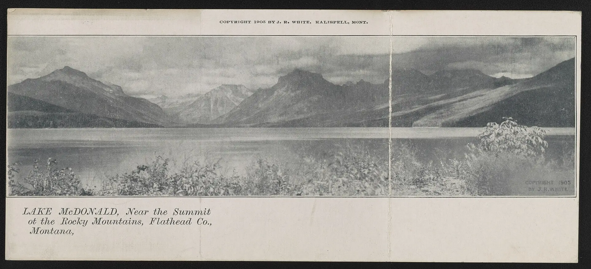
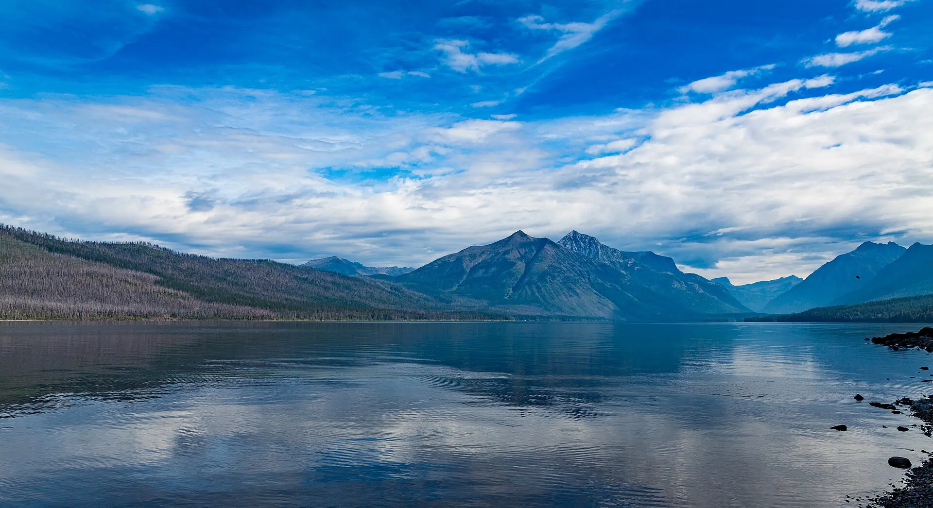
Leave Bozeman early and reach West Glacier in the afternoon. This leaves time for a short walk at Apgar and Lake McDonald, not a hike. Add a stop at Missoula for fuel and food, and avoid arriving after dark in wildlife country. Deer and elk cross these roads at dusk, and cell signal drops out on stretches of US-93 and US-2, so download maps first. Plan for 30 to 45 minutes of stops in total.
2. The east route via Great Falls
The east route is quieter and exposed. It brings you to St. Mary or Many Glacier, depending on your lodging. Services are sparse after Great Falls, so keep the tank above half. A strong wind can slow the highway and shut high-sided vehicles. In winter the plains stretch is the worst part: ground blizzards cut visibility to near zero, and a closed road can leave you waiting for hours. Check the state road report before you leave.
3. Splitting the drive at Missoula or Kalispell
If you plan to hike on arrival day, spend the first night in a town on the way and arrive fresh the next morning. This cuts fatigue and gives a buffer for road closures or delays. Beds fill in July and August, so book early.
4. Going-to-the-Sun Road
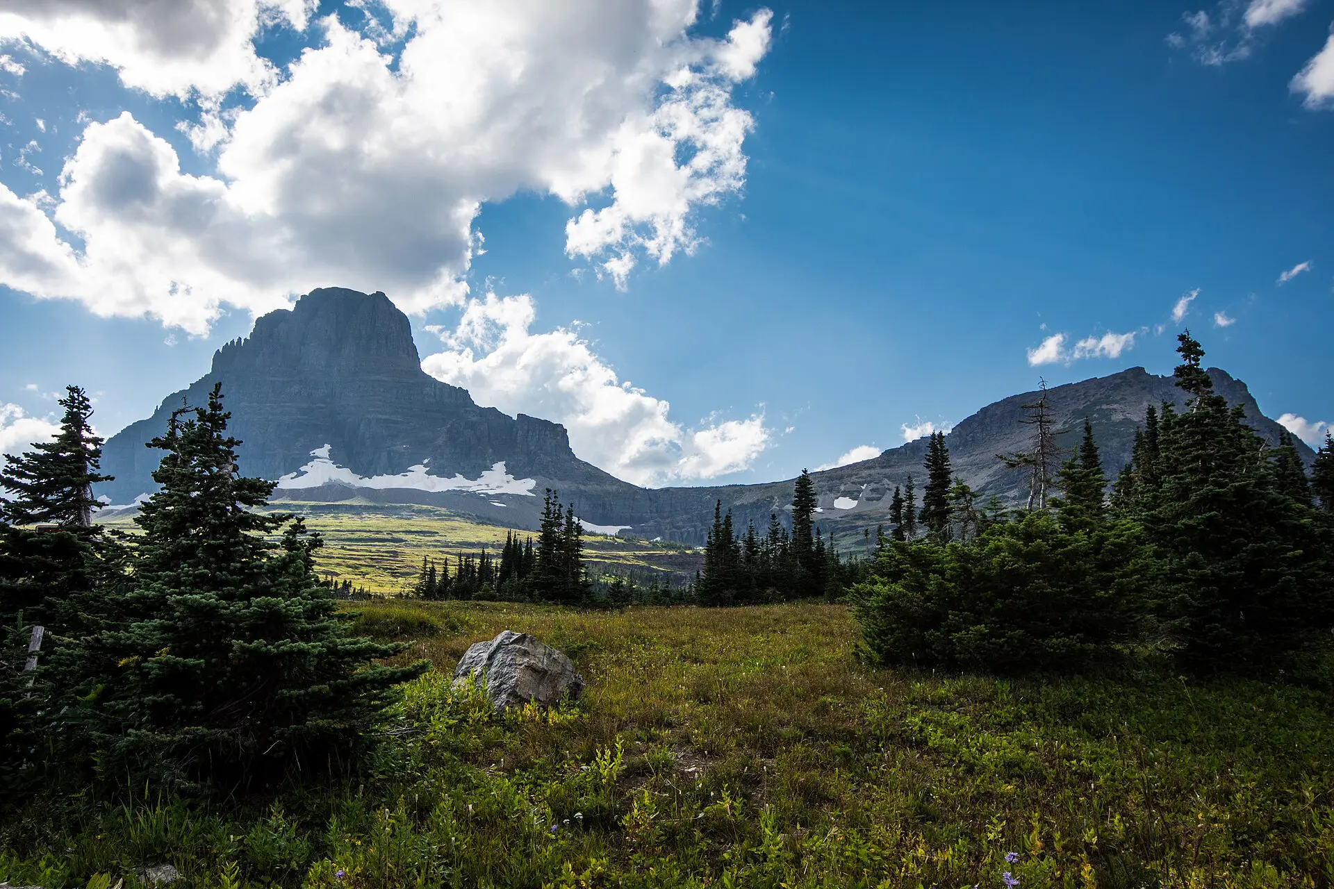
The road crosses Logan Pass, at about 2,025 m, and is typically fully open from about late June or early July until mid-October. Snow clearing varies each year, and rockfall and snow can close sections. Vehicle reservations or timed entry have been used in recent summers, so check the National Park Service page for the year of travel.
5. Two Medicine and Many Glacier
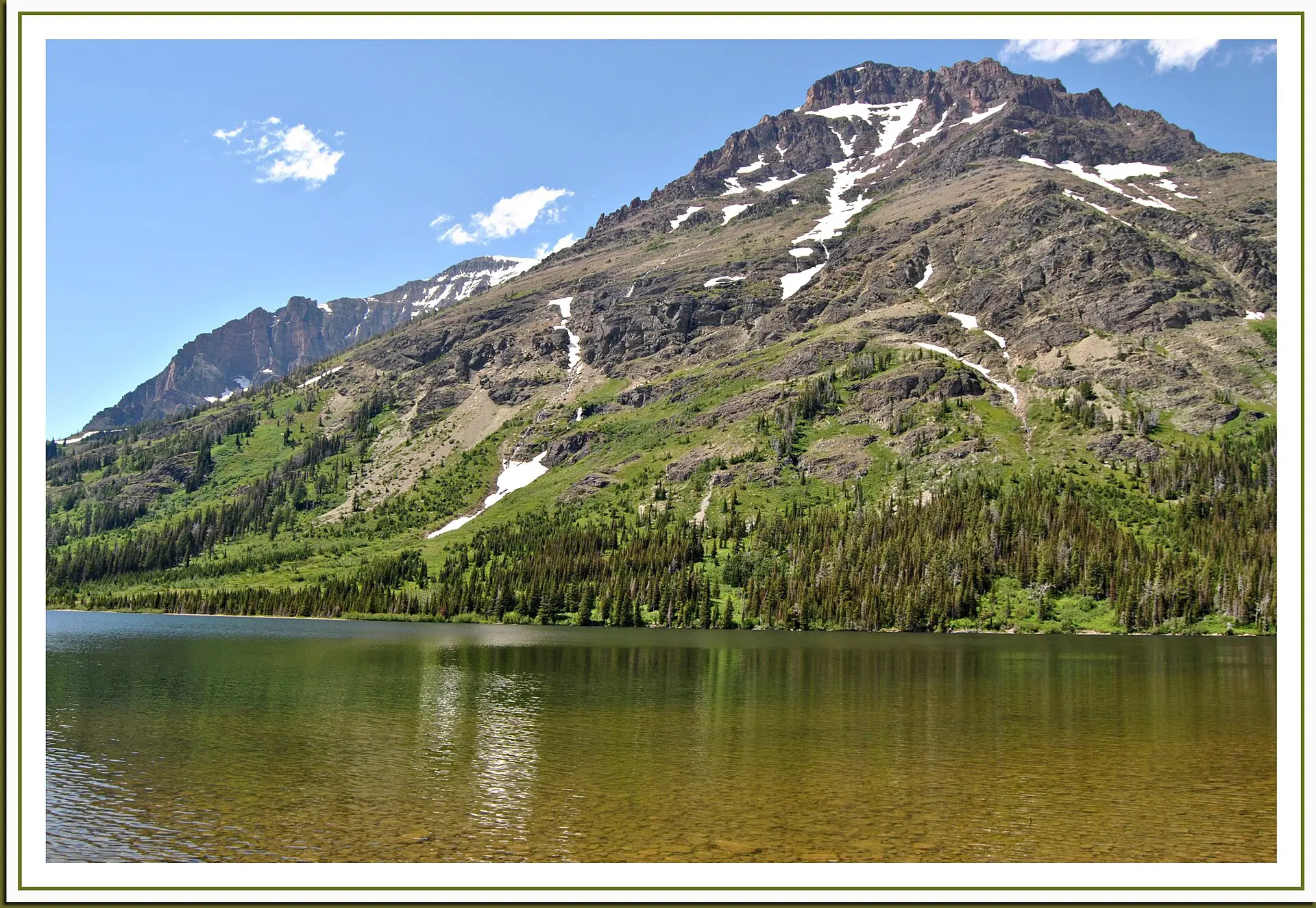
These two areas on the east side have their own road ends. Many Glacier is long and remote, while Two Medicine is smaller and quieter. Access depends on snow, and some roads and campgrounds open only in summer. Check status for each area separately. Bear safety applies on every trail here: carry bear spray where it is recommended, make noise, and keep distance from any animal.
6. Flying instead of driving
Flying to Kalispell shortens the transfer, but not the cost of a connection. If you already plan a rental car, driving can match the flight in total time and cost. Fly only if your dates are fixed and you can tolerate a missed connection. For a family version of this trip, see the Glacier National Park with kids guide.
Best time and season windows for Glacier
- Late June to mid-October: Going-to-the-Sun Road is typically open, trails clear at high elevations later, in July.
- July and August: warmest and busiest. Smoke from wildfires can reduce visibility and air quality in some years.
- September: cooler, quieter, and good light. The road can still close for early snow.
- November to May: the high road is closed to vehicles, and lower-elevation walks near Apgar and Lake McDonald are the main option. Roads on the plains and passes ice over.
Fallbacks if the main road is shut
- Going-to-the-Sun Road closed or full: stay on one side. Use the Lake McDonald area on the west, or Two Medicine and St. Mary on the east. The park is large, and you do not need the crossing.
- Interstate closed in winter: wait for the pass to clear, or take the other route via Great Falls and keep the same day plan.
- Wildfire smoke: switch to short low-elevation walks, or move to the other side of the park.
- Running late: sleep in the nearest town. Driving long distances at night means more wildlife on the road.
Where to sleep near Glacier National Park
On the west side, West Glacier and Apgar have lodging closest to the gate, while Whitefish and Columbia Falls offer more choice and food. Kalispell is the practical base for flights and supplies. On the east side, St. Mary and Browning serve the Many Glacier and Two Medicine areas. In the park, lodges and campgrounds are seasonal and sell out early. For wider context, see the United States travel guide.
Skip Bozeman to Glacier if
- You have under 4 days. Two long driving days eat a short trip.
- You come between November and May and expect the main road across the park.
- You dislike long drives with few services.
- You have Yellowstone in the plan as well. Glacier and Yellowstone are separate trips.
For reference, see the Glacier National Park guide on Wikivoyage.
FAQ about Bozeman to Glacier National Park
How far is Bozeman from Glacier National Park?
About 600 to 620 km by road, depending on the route and the entrance. Allow 6.5 to 7.5 hours of driving without long stops. Add more in winter, in heavy summer traffic, or if you drive through roadworks.
Which route is better, west or east?
The west route through Missoula and Kalispell has more services and suits West Glacier and Lake McDonald. The east route via Great Falls suits St. Mary and Many Glacier. Choose by where you sleep, not by distance.
Is Going-to-the-Sun Road open all year?
No. The full crossing is typically open from about late June to mid-October, depending on snow. Parts of the road stay open at lower elevations. Check the National Park Service for the current status before you plan.
Can you get from Bozeman to Glacier without a car?
It is hard. Amtrak serves the park but not Bozeman, and no simple direct bus is reliable year-round. You would need flights to Kalispell and a shuttle or rental car. Check timetables and book early.
How many days do you need?
At least 3 full days on site, plus two driving days. A weekend does not work. If you have less time, pick one side of the park and sleep near it, instead of crossing.