The best Big Bend National Park hikes are in the Chisos Mountains: Lost Mine Trail for a short day, the South Rim for a long one, and Santa Elena Canyon for a flat river walk. Everything is far from services, and the limit is water and heat, not fitness. Carry 0.5 to 1 litre per hour in warm weather, start at first light, and go between October and April. Below: distances, road access, a trail table and a fallback for each plan.
Getting to Big Bend National Park and access
Big Bend is in West Texas, on the Mexican border, and it is not on the way to anywhere. The usual bases are Alpine, Marathon and Terlingua, each roughly one to two hours from a park entrance by road. Midland and El Paso are the main airports; both are several hours’ drive away. Searches for “marfa to big bend” are about this leg: allow around 2.5 to 3 hours from Marfa to the west side of the park, and check the route before you leave.
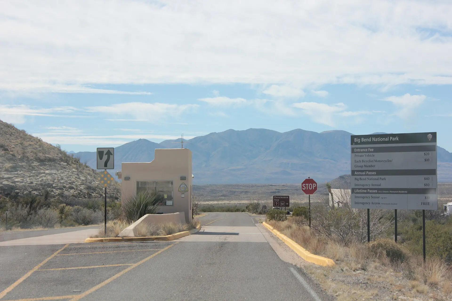
Inside the park, distances are long. Driving from the Chisos Basin to Santa Elena Canyon takes roughly 1.5 hours, and the Rio Grande Village side is further east. Fuel and food are limited and priced accordingly, so fill the tank in Alpine, Marathon or Terlingua. Mobile coverage is patchy to absent. Backcountry camping needs a permit and lodging in the Basin books out early in the busy months; as of 2026, check the official park pages for current rules, road notices and fees.
Big Bend hiking routes: terrain and transport table
All figures are rounded and one way or round trip as marked. Times assume a steady pace without long stops.
| Route | Distance | Time | Difficulty | Reliability notes |
|---|---|---|---|---|
| Lost Mine Trail | about 7.5 km return | 3 to 4 h | Moderate, about 350 m climb | Basin road; wind and cold on the ridge |
| Window Trail | about 8.5 km return | 3 to 4 h | Easy down, harder back up | Return climb is in afternoon heat |
| South Rim loop | about 20 km | 8 to 10 h, or overnight | Hard | Needs a permit to camp; no reliable water |
| Emory Peak | about 16 km return | 6 to 8 h | Hard, short scramble | Cloud and lightning risk on the summit |
| Santa Elena Canyon | about 2 km return | 1 to 1.5 h | Easy, short stair climb | Flooded creek crossing after rain |
| Grapevine Hills | about 4 km return | 1.5 to 2 h | Easy to moderate | Last stretch of access road is rough |
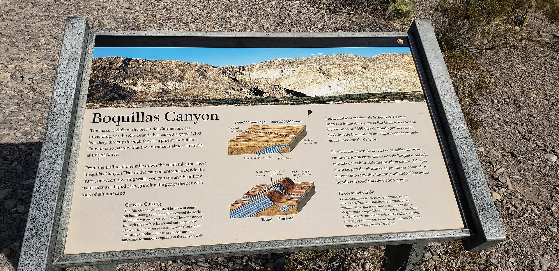
| Boquillas Canyon | about 2 km return | 1 h | Easy | Exposed, no shade; hot by 10:00 in summer |
Best Big Bend National Park hikes, with water and food notes
The seven routes below run from a one-hour walk to a full day. Pick by water and daylight first, then by view. Black bears and mountain lions live in the Chisos, so store food in the lockers at campsites and keep children close on the trail. Snakes and javelinas are common near dusk; watch where you put your hands and feet.
1. Lost Mine Trail
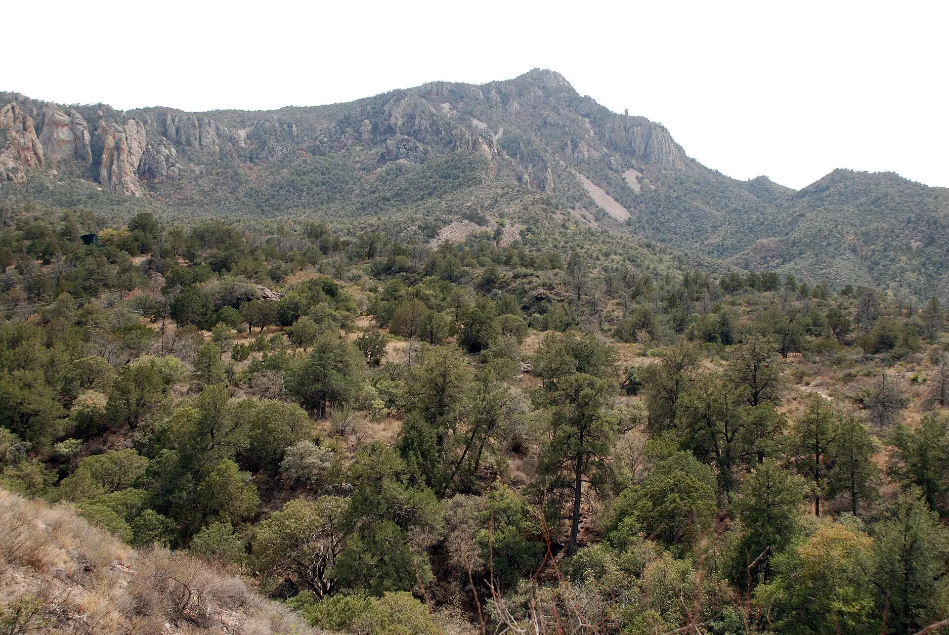
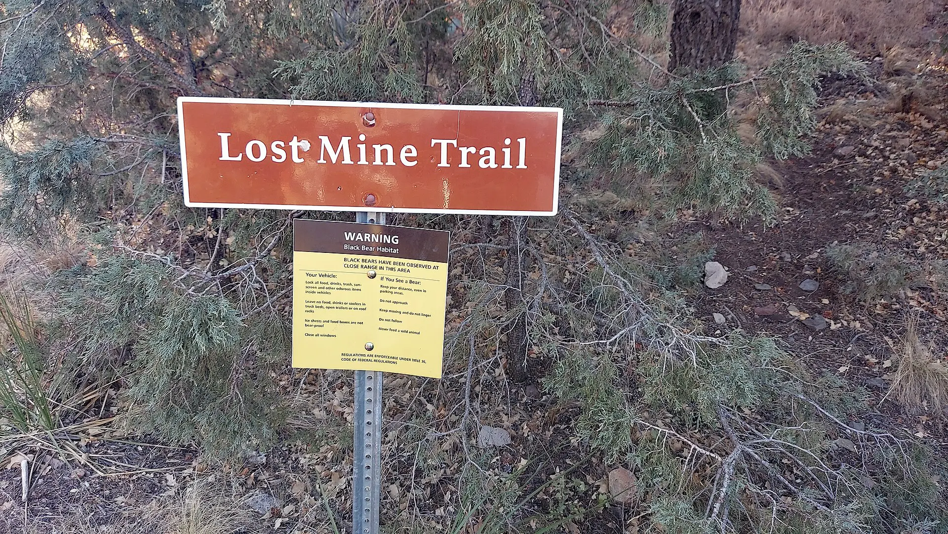
This is the best short walk in the park. It climbs a ridge above the Basin and gives wide views toward Mexico. Go early: the trailhead lot fills by mid-morning in the busy months. Carry 1.5 litres and a windproof layer, because the ridge is much colder than the car park.
2. Window Trail
The path drops from the Basin to a notch where the whole drainage empties out. It is easy on the way down and slow on the way back. Walk it at dusk or early morning, not midday. Take 2 litres per person in anything above 25 °C.
3. South Rim
The long loop through Boot Canyon to the rim is the park’s standard hard day. Most people split it over two days with a camp permit. Water on the route is not dependable, so carry all of it: 4 litres for a day. Start in the dark if you are doing it in one push.
4. Emory Peak
Emory Peak is the highest point in the park, at 2,387 m, with a short scramble at the top. It is exposed to lightning, so turn back if cloud builds. Food matters more than on shorter days: salty snacks and a long break at the saddle.
5. Santa Elena Canyon
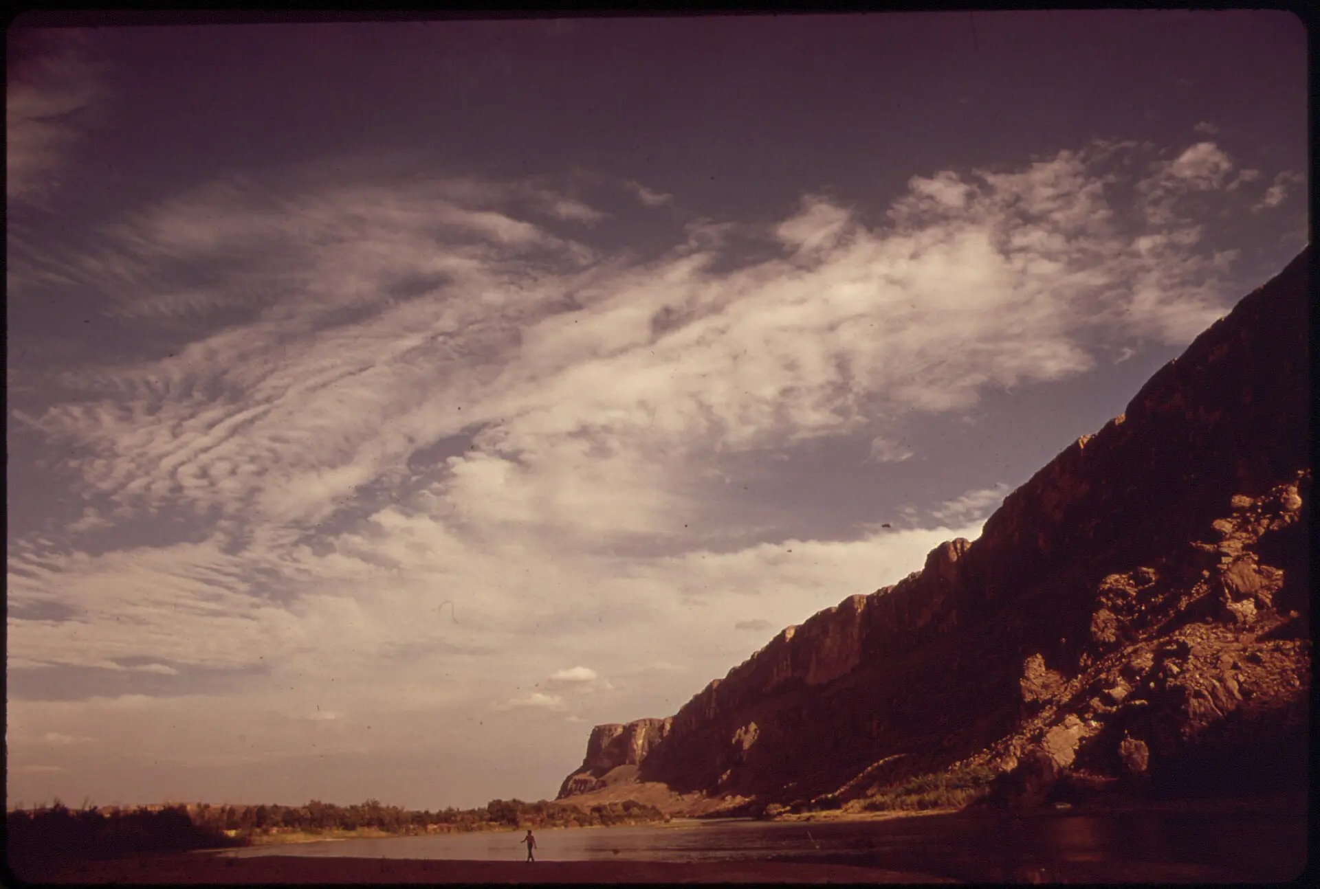
The trail crosses the mouth of Terlingua Creek, then climbs steps and runs along the base of canyon walls rising about 450 m. The creek can be impassable after heavy rain. If the crossing is deep or fast, do not wade it. Take water, since the Rio Grande is not drinkable without treatment.
6. Grapevine Hills
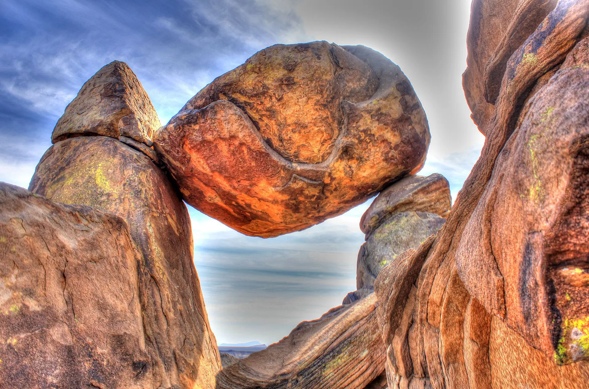
A sandy wash leads to a balanced boulder in granite country, an easy morning for the desert side of the park. The access road is gravel and varies by season, so ask at a visitor centre before driving it. There is no shade and no water: carry 2 litres.
7. Boquillas Canyon
This walk runs along the river on the park’s east side, near Rio Grande Village. It is short and flat, and the cliffs and sand give it character. Midday heat is the main problem. A seasonal border crossing to the Mexican village of Boquillas exists; confirm opening days, ID rules and costs before planning around it.
Best time to hike Big Bend: season windows
- October to April: the working window. Days are mild at lower elevations and cold at night in the Chisos. Busiest around Thanksgiving, Christmas and spring break.
- May to September: low-elevation temperatures often exceed 38 °C. Hike only before 09:00 or after 17:00, or stay in the mountains, which run several degrees cooler.
- July to September: the monsoon brings storms and flash floods in washes. Do not camp in a dry wash.
- March and April: cactus bloom, and the peak for spring-break crowds.
Rule of thumb: plan 0.5 litre per hour in mild weather, 1 litre per hour above 30 °C, and carry a margin of 1 litre. Water at trailheads is not guaranteed; fill at a visitor centre.
Daylight is a constraint outside summer. In December the sun is up for about ten hours, so a 9-hour South Rim day means starting by headlamp. Carry a light, a spare battery, a basic first-aid kit and a printed map; the nearest help can be hours away, and a rescue is slow.
Fallbacks if the road, trail or weather fails
- Rain or flood closes the Santa Elena road or creek crossing: switch to Lost Mine Trail or the Window Trail on the Basin side.
- Heat warning above 38 °C: move everything into the mountains, start before 07:00, and finish by 11:00.
- Wind or cloud on the peaks: do not push Emory Peak. Do the Window Trail or a short Chisos loop instead.
- Basin road or lodging unavailable: stay in Terlingua or Study Butte and drive in daily; add 45 minutes each way.
- Short on time: one full day covers Lost Mine in the morning and Santa Elena Canyon in the late afternoon, with a long driving gap between them.
Skip this if…
- You only have a half day. The drives eat the hike. Go to a closer park.
- You can carry only 1 to 2 litres. Skip the South Rim and Emory Peak.
- You are travelling in July or August and want long exposed walks. They are unpleasant at best.
- You do not have a full tank and a spare. Fuel stops are few.
For planning the rest of a US trip, see the United States travel guide. General background is on Wikipedia and Wikivoyage.
FAQ about Big Bend National Park hikes
What is the best hike in Big Bend National Park?
For most people it is Lost Mine Trail: about 7.5 km return, a manageable climb and wide views. Experienced hikers who want a full day should choose the South Rim. Santa Elena Canyon is the best short walk if the creek is low.
How many days do you need for Big Bend hikes?
Plan on three full days for a first visit. One day for the Basin trails, one for the river and Santa Elena Canyon, and a spare for driving or weather. Anything less means long drives for short walks.
How much water should you carry in Big Bend?
About 0.5 to 1 litre per hour, more in heat. For a 4-hour walk in warm weather, carry at least 3 litres. There is no reliable water on trails, so fill up before you start and leave a spare in the car.
When is the best month to hike Big Bend?
November to March gives the coolest, safest conditions, though nights in the mountains can drop below freezing. Spring break and the holidays are busy, so book lodging early. Summer is possible only in the early morning.
Is Big Bend National Park worth the drive?
Yes, if you can give it two full days or more. It is a long way from anywhere, but it is quiet and the terrain is varied. If you only want a quick stop, the drive is poor value.