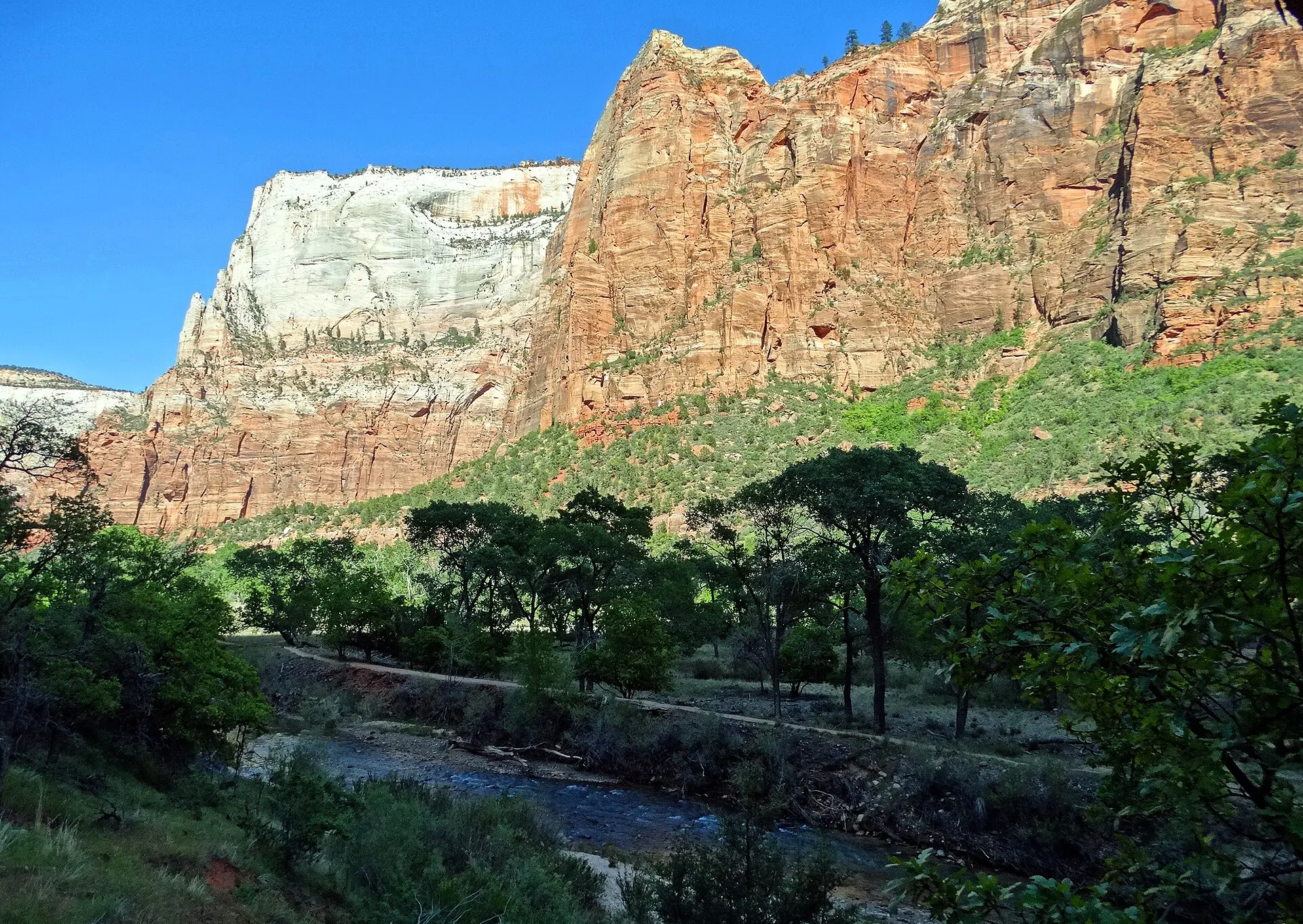
The best hikes in Zion are Angels Landing (permit needed), the Narrows, Observation Point, the Emerald Pools and the quieter Watchman and Canyon Overlook trails. Most start from the shuttle road in Zion Canyon, so transport and timing matter as much as fitness. Summer afternoons are above 35 degrees C on the canyon floor, and the Narrows closes when flood risk rises. Start early, carry more water than you think, and choose a shorter route in reserve for each day.
Getting to Zion and getting around Zion Canyon
Zion is in south-west Utah. The park’s main entrance is at Springdale, about 260 km and 2.5 to 3 hours by road from Las Vegas, and about 70 km from St George. Salt Lake City is around 480 km away. Utah and Nevada are one hour apart in summer, so plan arrival times with that in mind.
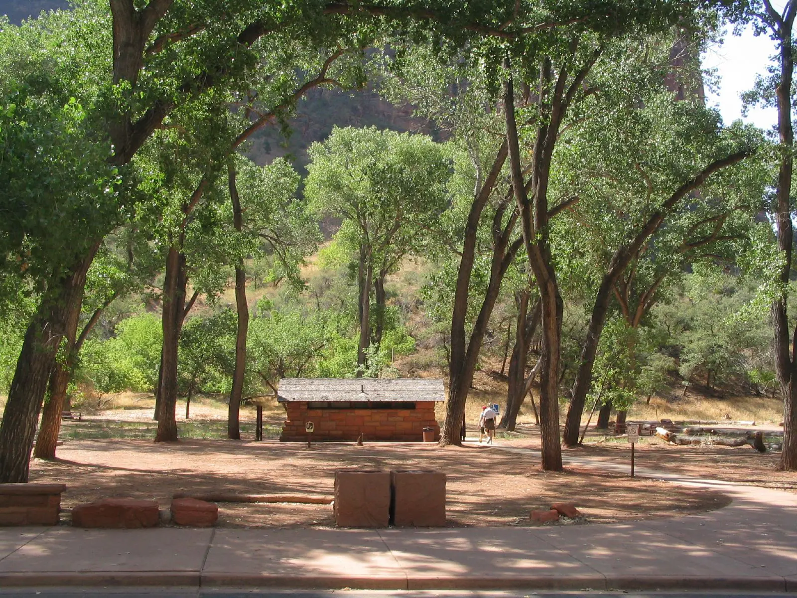
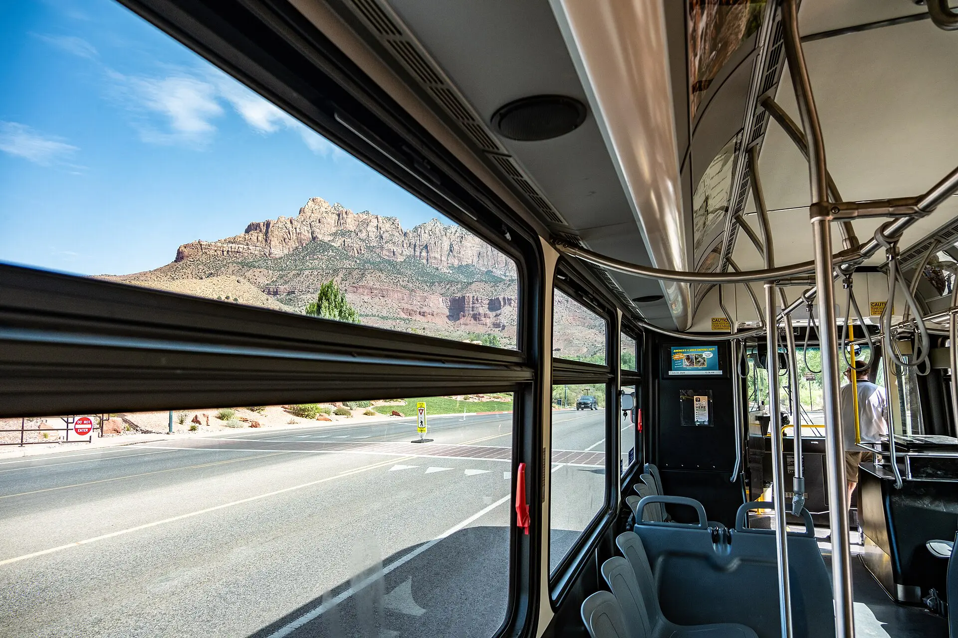
The Zion Canyon Scenic Drive is closed to private cars for most of the year. A free park shuttle serves the trailheads, and a separate town shuttle runs between Springdale and the pedestrian entrance. Operating dates and hours change each year, so check the National Park Service page before you travel. In the shuttle months, the first buses leave early and queues build from mid-morning. Fees, including any higher charge for non-resident visitors, were changing as of 2026: confirm them before you budget.
Best hikes in Zion at a glance: distance, time and reliability
| Route | Distance (return) | Time | Difficulty | Reliability notes |
|---|---|---|---|---|
| Angels Landing | About 8.7 km, about 450 m climb | 4 to 5 hours | Hard, exposed chains | Permit required for the chains section; lottery |
| The Narrows, bottom-up | Up to about 16 km, shorter turnarounds possible | 4 to 8 hours | Moderate, wading | Closed in flood risk or high flow |
| Observation Point | About 11 km from East Mesa | 3 to 4 hours | Moderate | Needs a road to the East Mesa trailhead |
| Emerald Pools | About 3 to 5 km | 1 to 2.5 hours | Easy to moderate | Upper pools can be dry or muddy |
| Canyon Overlook | About 1.6 km | 1 hour | Easy, short drops | Small car park outside the shuttle area |
| Watchman Trail | About 5 km | 2 hours | Easy to moderate | Starts near the visitor centre; little shade |
| Riverside Walk | About 3.5 km | 1 to 1.5 hours | Easy, paved | Shuttle to the last stop |
Figures are approximate, and trail conditions and closures change. Check the park’s current conditions page for each route.
The best hikes in Zion, ranked by effort
1. Angels Landing
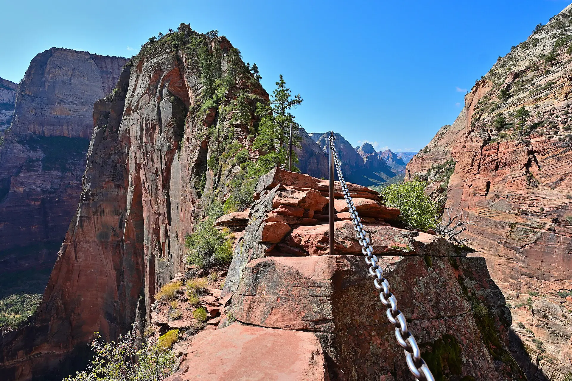
A steep climb with switchbacks, then a narrow ridge held by chains, with drops on both sides. The chains section needs a permit through a seasonal or next-day lottery. Without one, you can still walk to Scout Lookout, which is a strong hike on its own. Start at first light. Carry at least 2 litres of water, and turn back if the rock is wet or ice is on the path. Skip the ridge if you are afraid of heights.
2. The Narrows, bottom-up
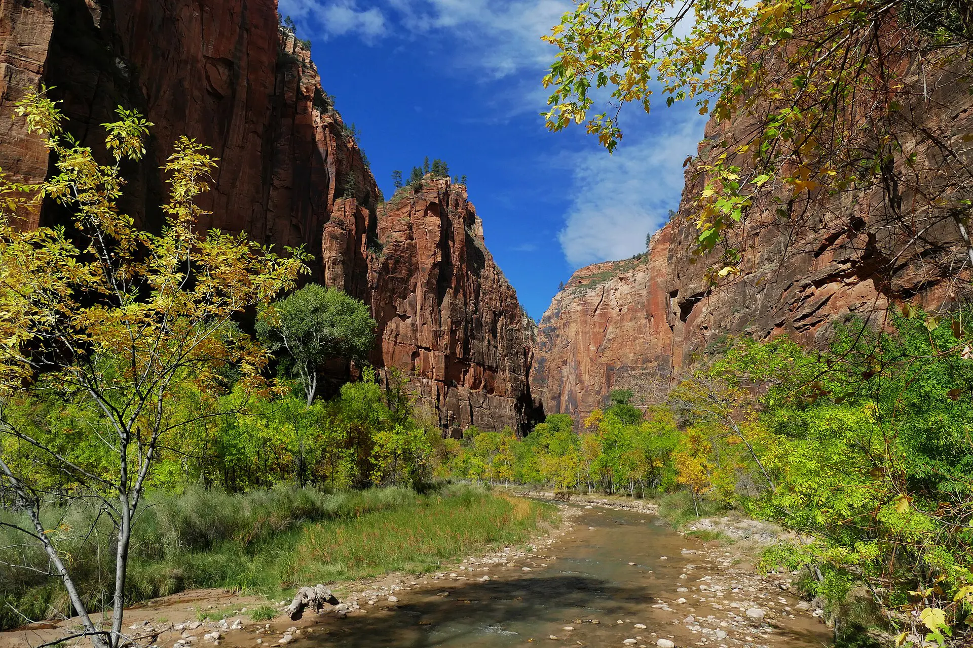
You walk in the Virgin River between canyon walls, in water that is often knee-deep, with a slippery stone bed. A bottom-up day hike needs no permit, but the walk depends on river flow. Rangers close it when flash-flood risk or flow is too high. Wear shoes with grip, carry a pole and check the forecast and flow level the night before. Cold water is a hazard in spring.
3. Observation Point
The route from East Mesa gives a long, high view of the canyon without the heavy climb of the old canyon-floor path. The trail from Weeping Rock has been closed since rockfall, so verify the current status before you plan around it. The East Mesa road is dirt and can be rough or closed in wet weather. Take water and sun cover, because there is little shade.
4. Emerald Pools
The lower pool is easy and short; the middle and upper pools add rock steps and mud. It is a solid shade-and-spray option on a hot day. In dry months the falls reduce to a trickle, so the reward is less. Keep children and unsteady walkers away from wet edges.
5. Canyon Overlook
A short trail above the east tunnel with a broad view down the canyon. It needs a car, not the shuttle, and the small car park fills fast. Come at the start or the end of the day. Edges have drops, with rails in places only.
6. Watchman Trail
A steady climb from near the visitor centre to a viewpoint over Springdale and the lower canyon. It works as a recovery walk, a sunset trail or a plan B when other routes are shut. Bring water in summer, as the lower stretch is exposed.
7. Riverside Walk
A paved path along the river to the Narrows entrance, shaded in parts. It is the easiest of the seven and is open to most abilities. Walking it at the end of a day gives a view of the Narrows without getting wet.
Best time for the best hikes in Zion
- Spring (March to May): mild air, but snowmelt can keep the Narrows cold and high. Busy from April.
- Summer (June to August): canyon floor often above 35 degrees C. Start before 7 am, finish exposed climbs by late morning and plan for afternoon thunderstorms, which raise flood risk.
- Autumn (September to November): the most settled weather, lower water and large crowds on shuttle days.
- Winter (December to February): quiet and cold at altitude. Ice can make steep routes unsafe. Fewer services and shorter days.
Drink before you are thirsty and add salty food on long days. Water stations are at the visitor centre and the lodge, not on the trails. Carry a litre per hour of effort in summer, plus a spare litre, and pack food that does not melt. Cell signal is patchy in the canyon, so save an offline map and tell someone your turnaround time.
Crowds follow a pattern. The shuttle is busiest from about 9 am to 3 pm, and the canyon is calmer in the first hour and the last two. Parking in Springdale and at the visitor centre fills early on weekends and holidays, so arrive before 8 am or park in town and use the town shuttle.
Zion fallbacks when a road, trail or weather fails
- No Angels Landing permit: hike to Scout Lookout, or switch to Observation Point.
- Narrows closed: walk Riverside Walk to the entrance, then climb to the Emerald Pools.
- Shuttle queue too long: walk Pa’rus Trail or Watchman from the visitor centre, no shuttle needed.
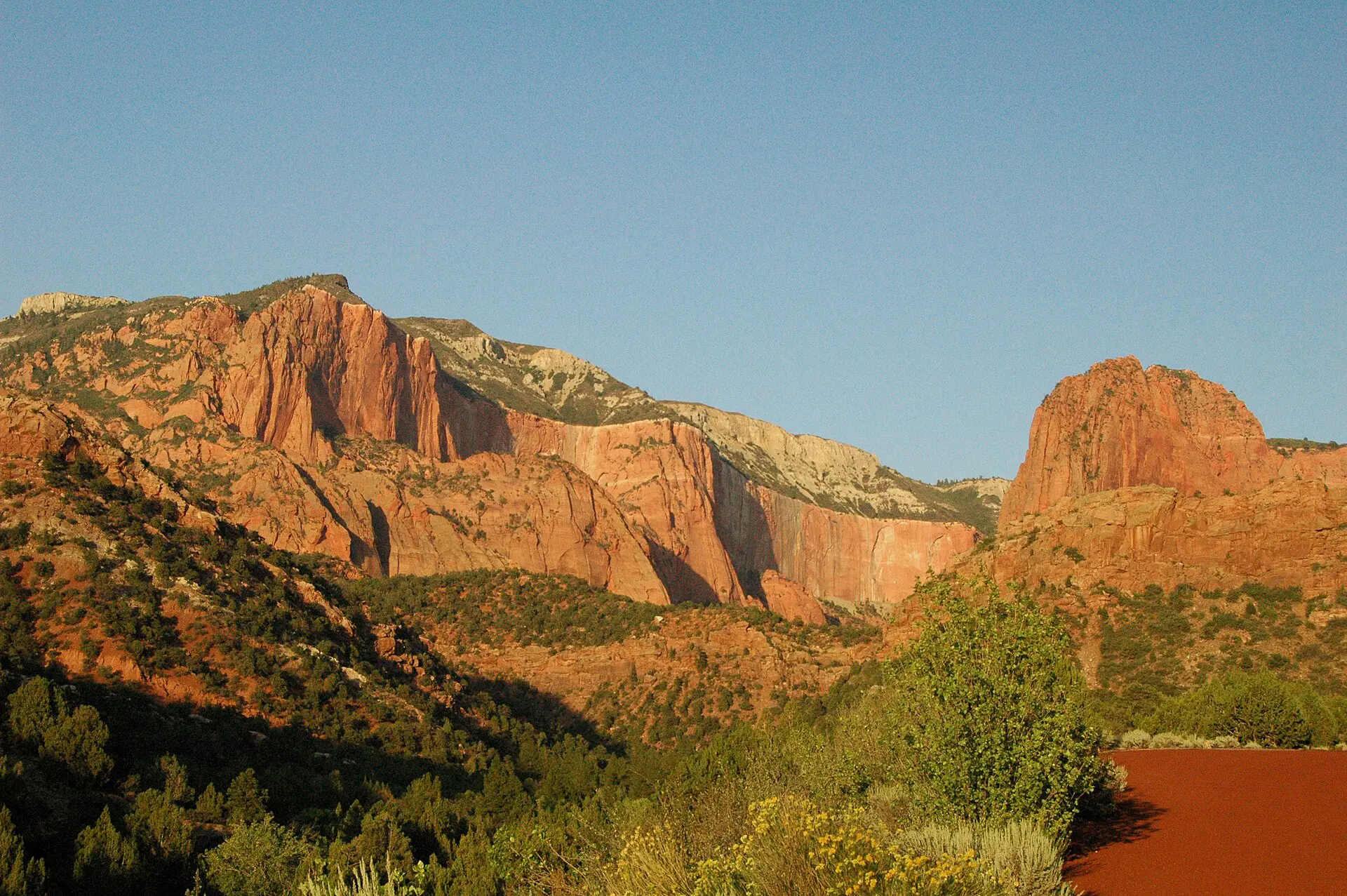
- Heat warning: move the big hike to dawn, then spend the afternoon in the river-side shade or drive out to the Kolob Canyons section, which is cooler and quieter.
- Road closed or storm: leave the canyon and use the Springdale side or the Kolob Canyons road. Check the park’s alerts page before you set out.
Skip these Zion hikes if
- You have only a morning in summer. A single early hike is the whole plan, so choose one route and stop.
- You dislike exposure. Angels Landing is not a place to test a fear of heights.
- You travel with a toddler or a weak knee. Choose Riverside Walk and the Pa’rus Trail.
- Rain is forecast. Slot canyon flash floods are rare but fatal, and the park will close routes.
For background reading, see Zion National Park on Wikipedia and the Wikivoyage guide to Zion. For the wider trip, see the United States travel guide.
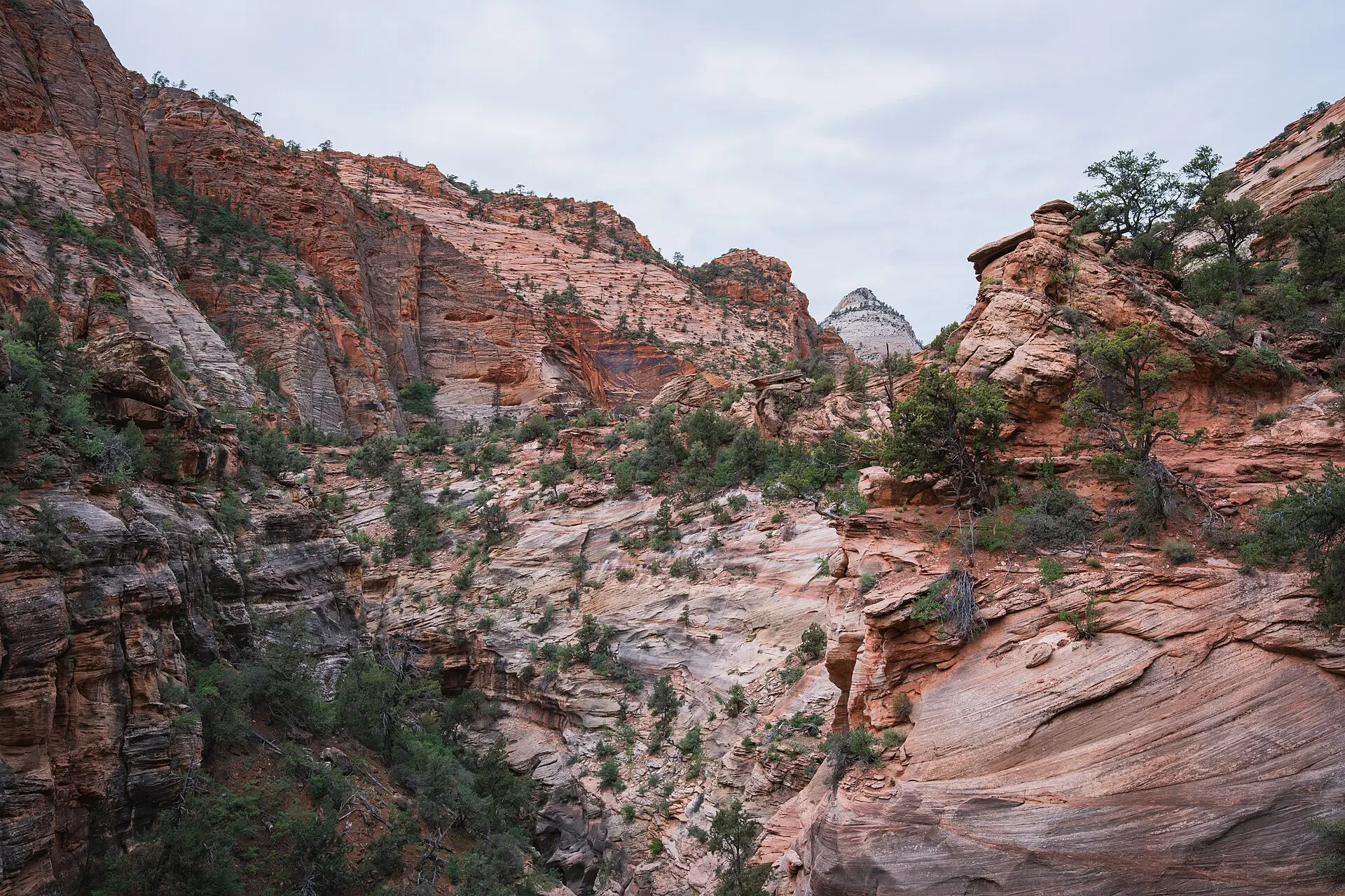
FAQ about the best hikes in Zion
What is the best hike in Zion for a first visit?
Riverside Walk plus the Emerald Pools suit most people on a first day. If you have the legs and the heat is moderate, add the Narrows from the bottom up. Angels Landing needs a permit and a head for heights.
Do you need a permit for Angels Landing?
Yes, for the chains section past Scout Lookout. Permits are issued by lottery, either seasonal or the day before. Rules and fees can change, so apply through the official park site and check dates before you plan.
How hot does Zion get for hiking?
Summer highs on the canyon floor often pass 35 degrees C, and rock reflects the heat. Start at dawn, carry at least 3 litres on long routes and turn back at the first sign of dizziness or cramps.
Can you hike the Narrows without a permit?
A bottom-up day hike from the Temple of Sinawava does not need a permit, but it can be closed for flood risk. Walking the full top-down route does need a permit and an advance plan. Check current rules.
Do you need the shuttle to hike in Zion?
Most canyon trailheads are on the shuttle road during the busy months, so yes. Some routes, such as Watchman and Pa’rus, start from the visitor centre, and Canyon Overlook needs a car. Check the dates.